Distance between  Aliwal North and
  Albertinia
385.01 mi Straight Distance
467.09 mi Driving Distance
9 hours 1 mins Estimated Driving Time
The straight distance between Aliwal North (Eastern Cape) and Albertinia (Western Cape) is 385.01 mi, but the driving distance is 467.09 mi.
It takes 8 hours 56 mins to go from Aliwal North to Albertinia.
Driving directions from Aliwal North to Albertinia
Distance in kilometers
Straight distance: 619.48 km. Route distance: 751.54 km
Aliwal North, South Africa
Latitude: -30.6905 // Longitude: 26.7144
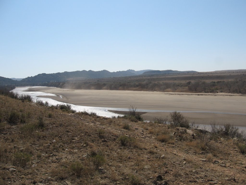
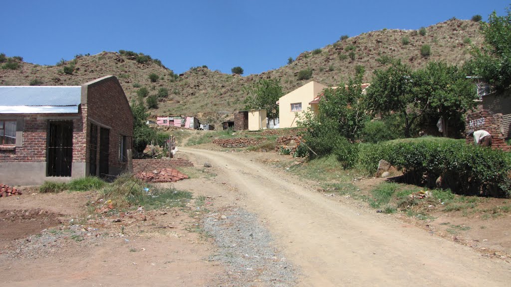
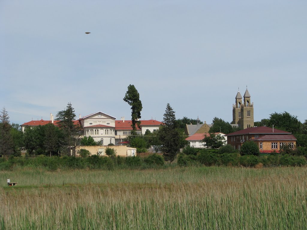
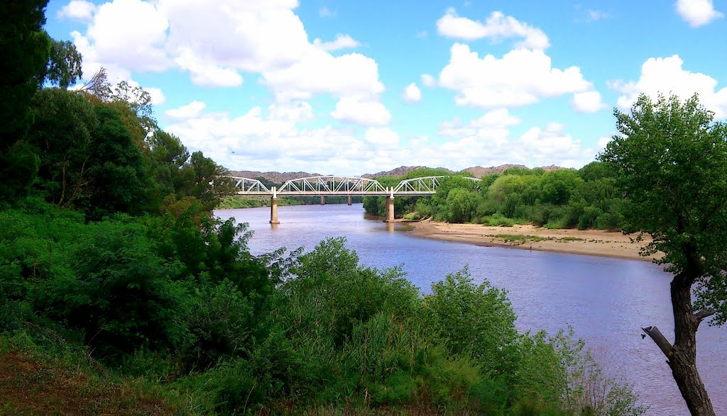
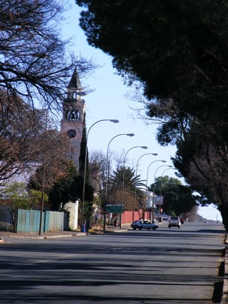
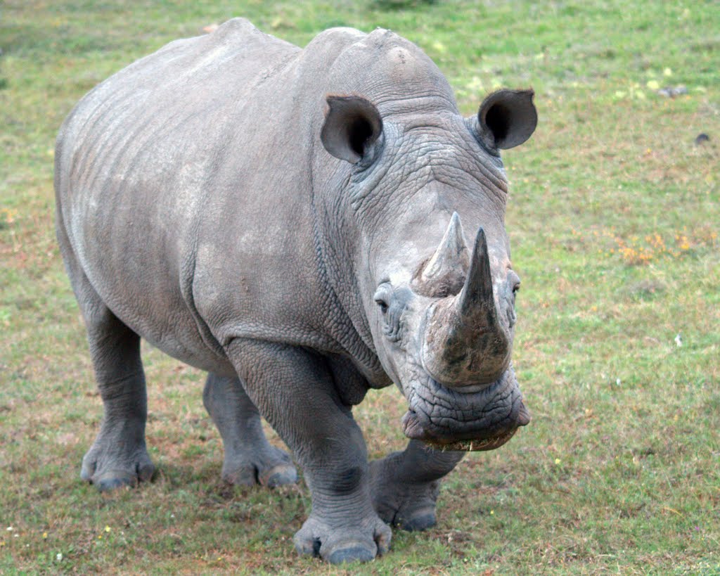
Photos of Aliwal North
Aliwal North Weather

Predicción: Clear sky
Temperatura: 21.5°
Humedad: 45%
Hora actual: 12:50 PM
Amanece: 06:35 AM
Anochece: 05:49 PM
Albertinia, South Africa
Latitude: -34.2 // Longitude: 21.5833
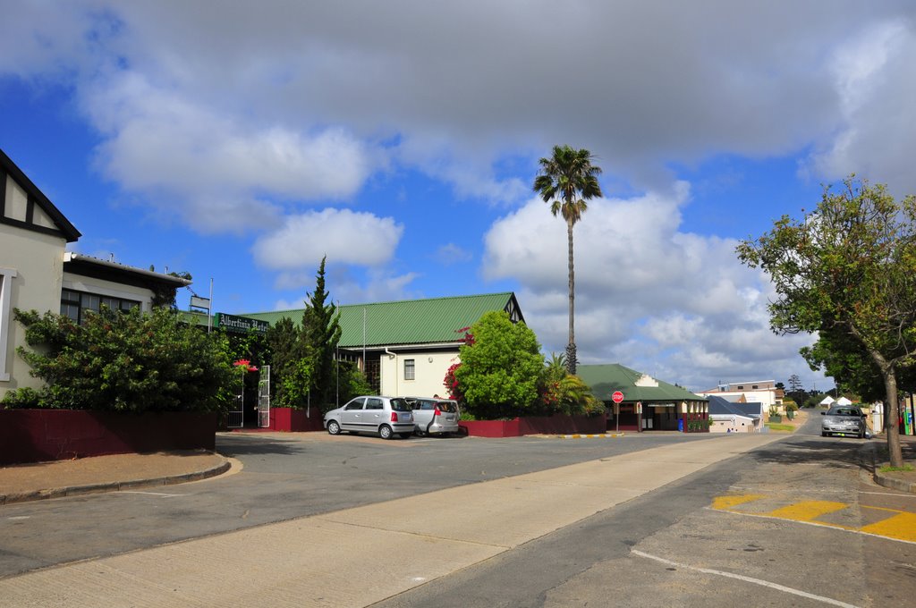
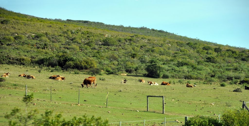
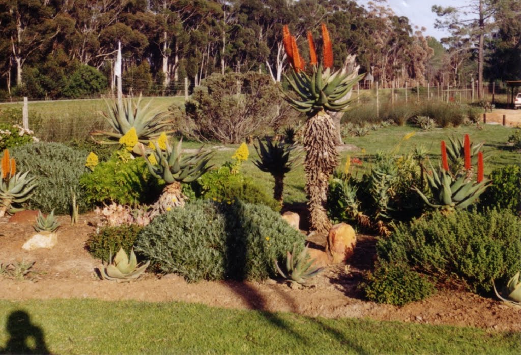
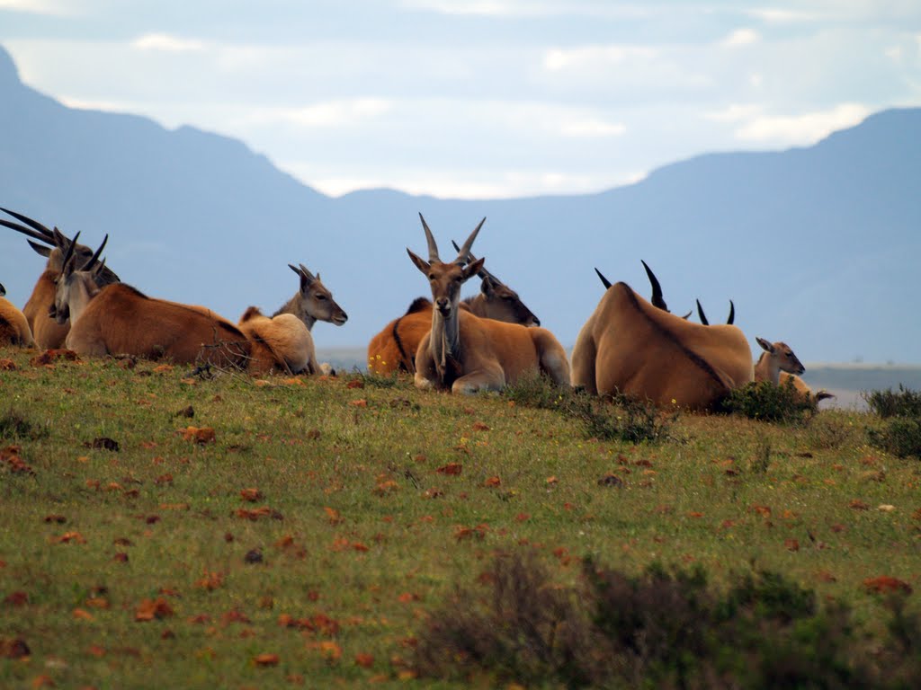
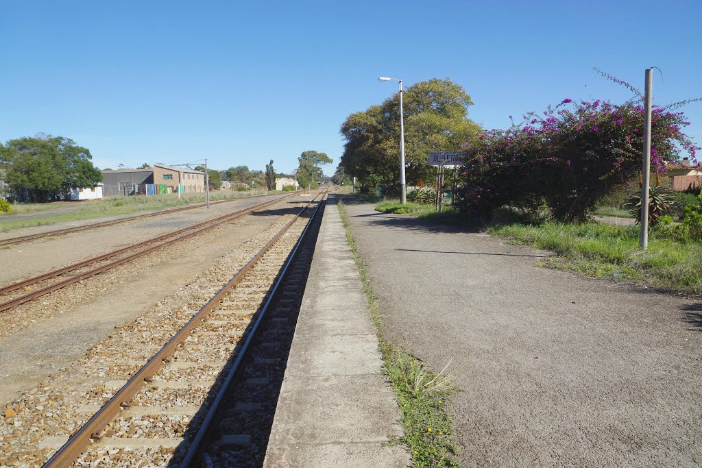
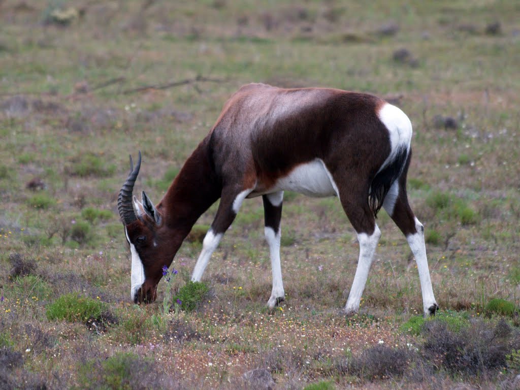
Photos of Albertinia
Albertinia Weather

Predicción: Scattered clouds
Temperatura: 23.1°
Humedad: 56%
Hora actual: 12:50 PM
Amanece: 06:59 AM
Anochece: 06:06 PM


