
Distance between  Betty's Bay and
  Besters
752.59 mi Straight Distance
881.08 mi Driving Distance
14 hours 14 mins Estimated Driving Time
The straight distance between Betty's Bay (Western Cape) and Besters (KwaZulu-Natal) is 752.59 mi, but the driving distance is 881.08 mi.
It takes 14 hours 5 mins to go from Betty's Bay to Besters.
Driving directions from Betty's Bay to Besters
Distance in kilometers
Straight distance: 1,210.91 km. Route distance: 1,417.66 km
Betty's Bay, South Africa
Latitude: -34.3475 // Longitude: 18.9205
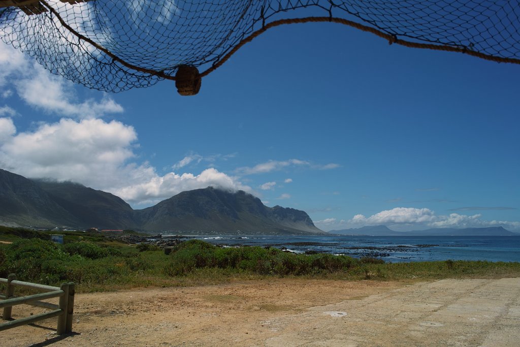
Photos of Betty's Bay


Betty's Bay Weather

Predicción: Clear sky
Temperatura: 19.0°
Humedad: 73%
Hora actual: 12:00 AM
Amanece: 05:08 AM
Anochece: 04:18 PM
Besters, South Africa
Latitude: -28.4333 // Longitude: 29.65
Photos of Besters


Besters Weather

Predicción: Few clouds
Temperatura: 18.8°
Humedad: 58%
Hora actual: 12:00 AM
Amanece: 04:20 AM
Anochece: 03:41 PM


