
Distance between  Brakpan and
  Barkly East
330.17 mi Straight Distance
468.96 mi Driving Distance
8 hours 2 mins Estimated Driving Time
The straight distance between Brakpan (Gauteng) and Barkly East (Eastern Cape) is 330.17 mi, but the driving distance is 468.96 mi.
It takes to go from Brakpan to Barkly East.
Driving directions from Brakpan to Barkly East
Distance in kilometers
Straight distance: 531.25 km. Route distance: 754.56 km
Brakpan, South Africa
Latitude: -26.2377 // Longitude: 28.3652
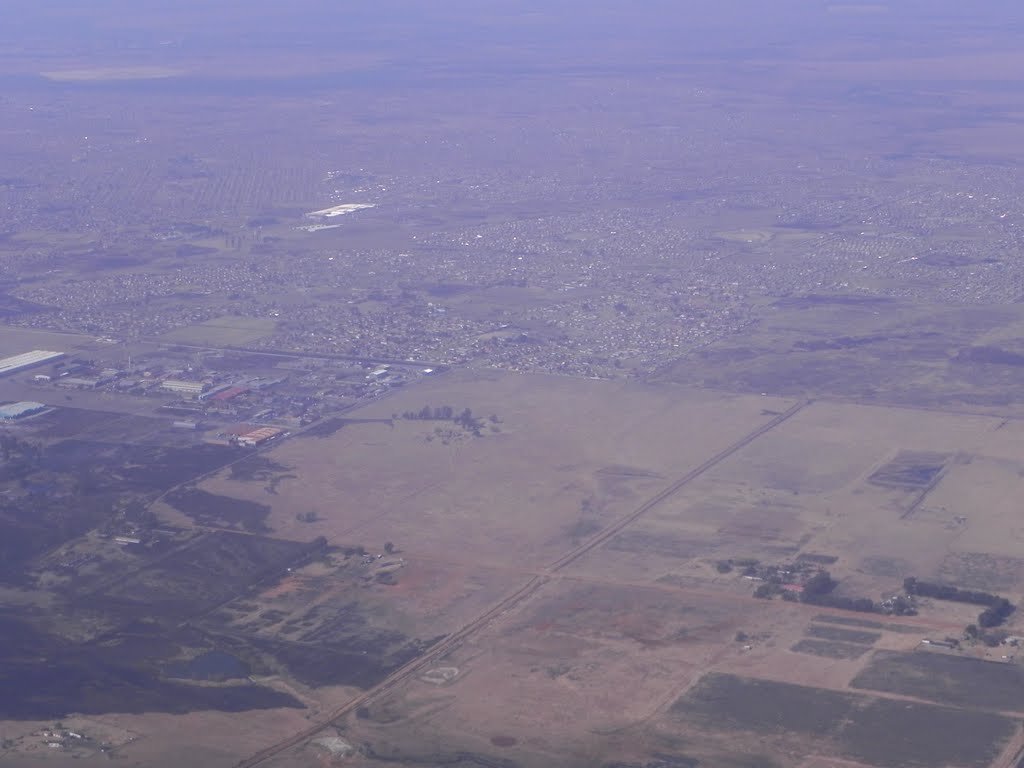
Photos of Brakpan


Brakpan Weather

Predicción: Clear sky
Temperatura: 13.1°
Humedad: 85%
Hora actual: 03:47 AM
Amanece: 06:24 AM
Anochece: 05:46 PM
Barkly East, South Africa
Latitude: -30.9681 // Longitude: 27.5933
Photos of Barkly East
")


Barkly East Weather
Predicción: Clear sky
Temperatura: 10.0°
Humedad: 79%
Hora actual: 03:47 AM
Amanece: 06:32 AM
Anochece: 05:44 PM


