Distance between  Britstown and
  Boston
391.51 mi Straight Distance
615.71 mi Driving Distance
10 hours 8 mins Estimated Driving Time
The straight distance between Britstown (Northern Cape) and Boston (KwaZulu-Natal) is 391.51 mi, but the driving distance is 615.71 mi.
It takes to go from Britstown to Boston.
Driving directions from Britstown to Boston
Distance in kilometers
Straight distance: 629.95 km. Route distance: 990.68 km
Britstown, South Africa
Latitude: -30.595 // Longitude: 23.5025
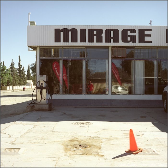
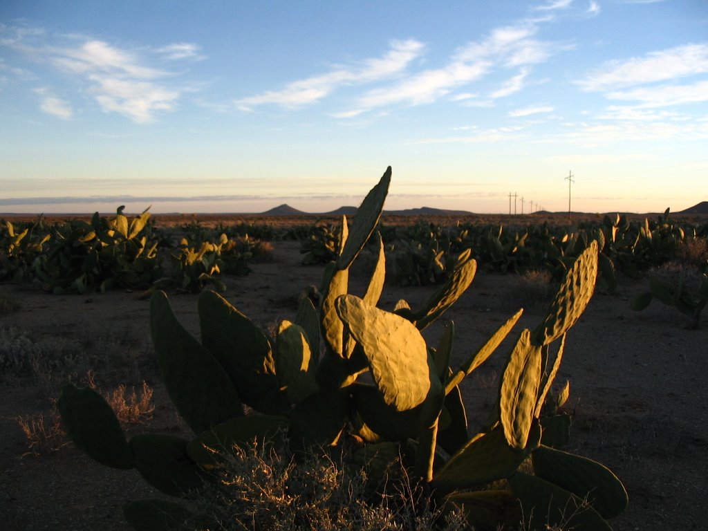
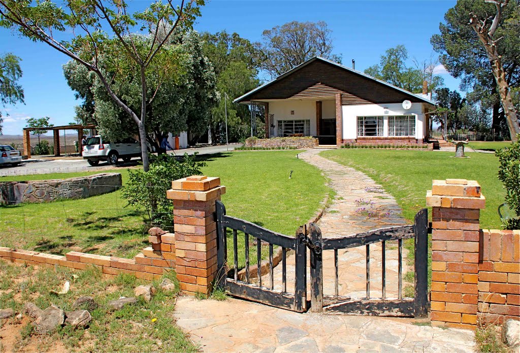
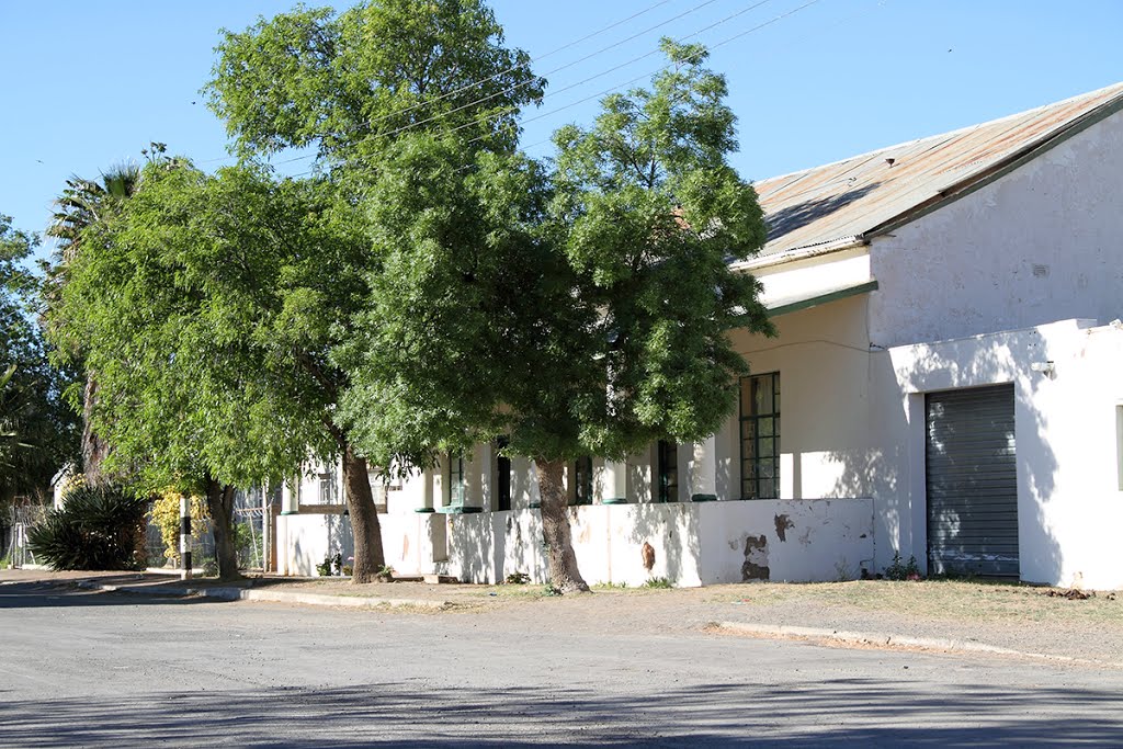
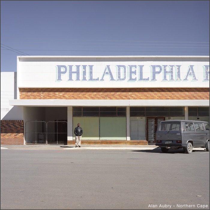
Photos of Britstown
Britstown Weather

Predicción: Broken clouds
Temperatura: 17.7°
Humedad: 58%
Hora actual: 12:00 AM
Amanece: 04:46 AM
Anochece: 04:04 PM
Boston, South Africa
Latitude: -29.6667 // Longitude: 29.9667
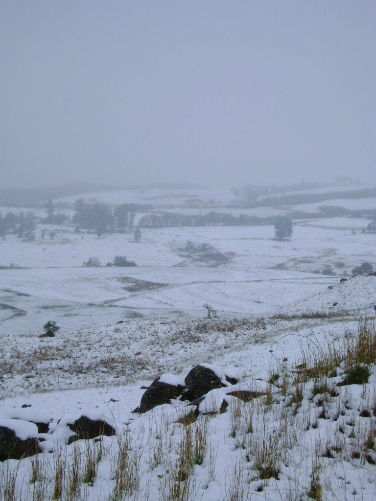
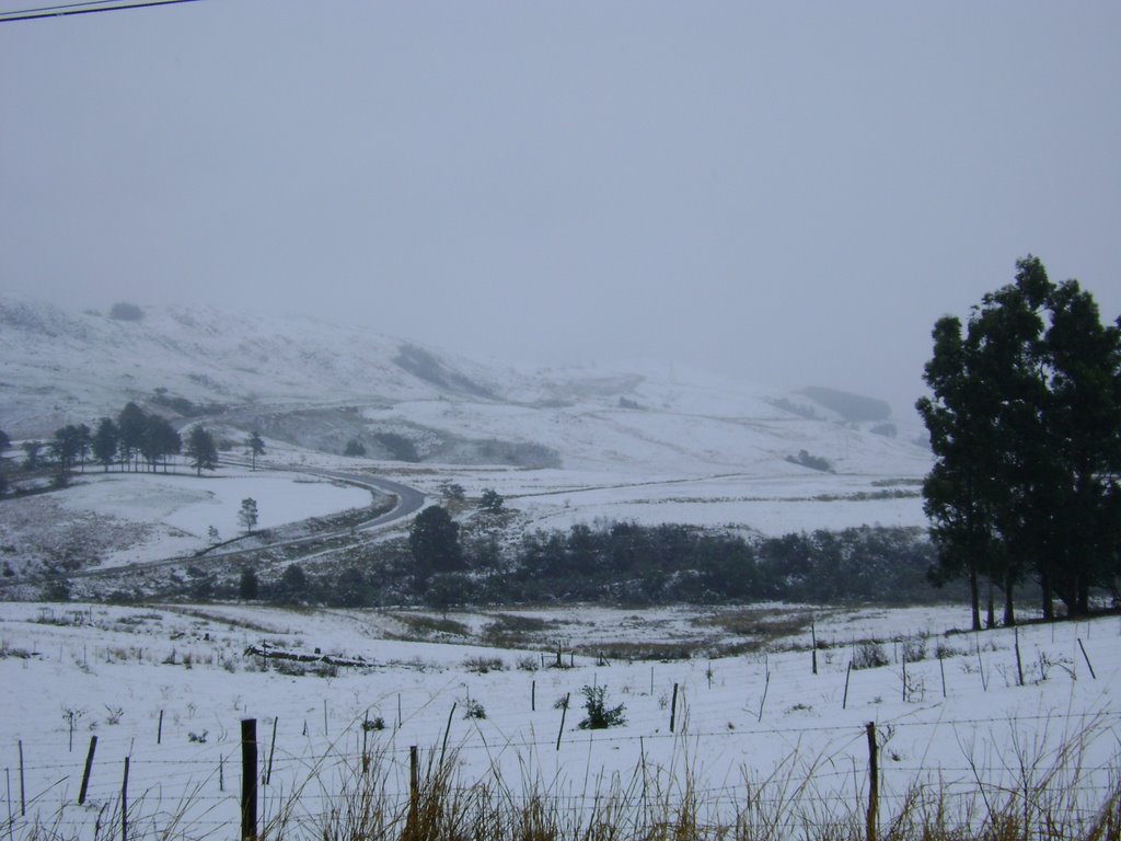
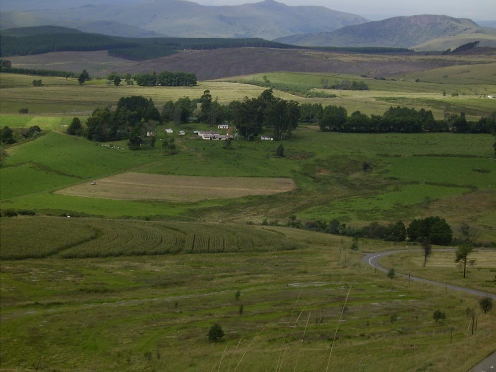
Photos of Boston
Boston Weather

Predicción: Broken clouds
Temperatura: 10.1°
Humedad: 97%
Hora actual: 12:00 AM
Amanece: 04:20 AM
Anochece: 03:39 PM


