
Distance between  Britstown and
  Breyten
492.85 mi Straight Distance
655.20 mi Driving Distance
10 hours 3 mins Estimated Driving Time
The straight distance between Britstown (Northern Cape) and Breyten (Mpumalanga) is 492.85 mi, but the driving distance is 655.20 mi.
It takes 9 hours 53 mins to go from Britstown to Breyten.
Driving directions from Britstown to Breyten
Distance in kilometers
Straight distance: 792.99 km. Route distance: 1,054.21 km
Britstown, South Africa
Latitude: -30.595 // Longitude: 23.5025
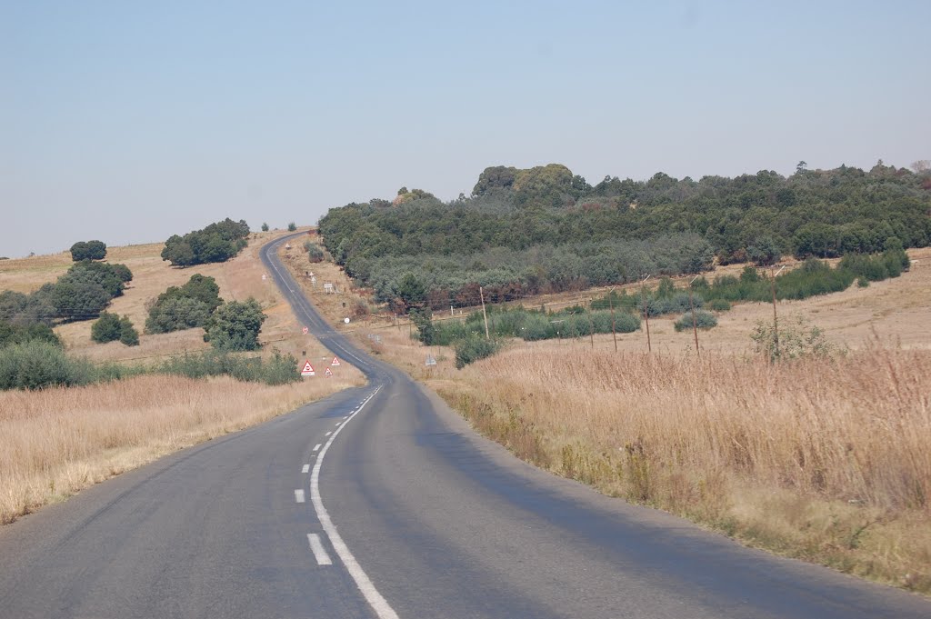
Photos of Britstown


Britstown Weather

Predicción: Overcast clouds
Temperatura: 20.2°
Humedad: 56%
Hora actual: 12:00 AM
Amanece: 04:46 AM
Anochece: 04:04 PM
Breyten, South Africa
Latitude: -26.3 // Longitude: 29.9833
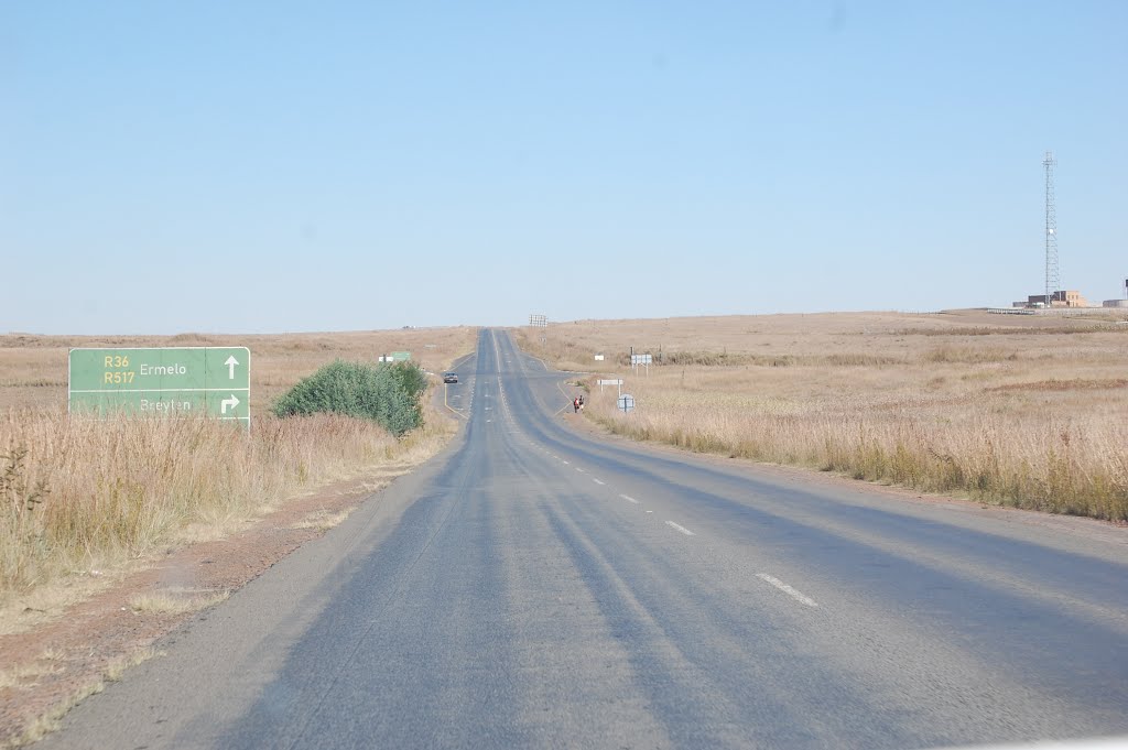
Photos of Breyten


Breyten Weather

Predicción: Light rain
Temperatura: 17.1°
Humedad: 61%
Hora actual: 10:46 AM
Amanece: 06:16 AM
Anochece: 05:42 PM


