Distance between  Broederstroom and
  Arlington
154.18 mi Straight Distance
198.81 mi Driving Distance
3 hours 32 mins Estimated Driving Time
The straight distance between Broederstroom (North West) and Arlington (Free State) is 154.18 mi, but the driving distance is 198.81 mi.
It takes 3 hours 8 mins to go from Broederstroom to Arlington.
Driving directions from Broederstroom to Arlington
Distance in kilometers
Straight distance: 248.07 km. Route distance: 319.88 km
Broederstroom, South Africa
Latitude: -25.802 // Longitude: 27.8762
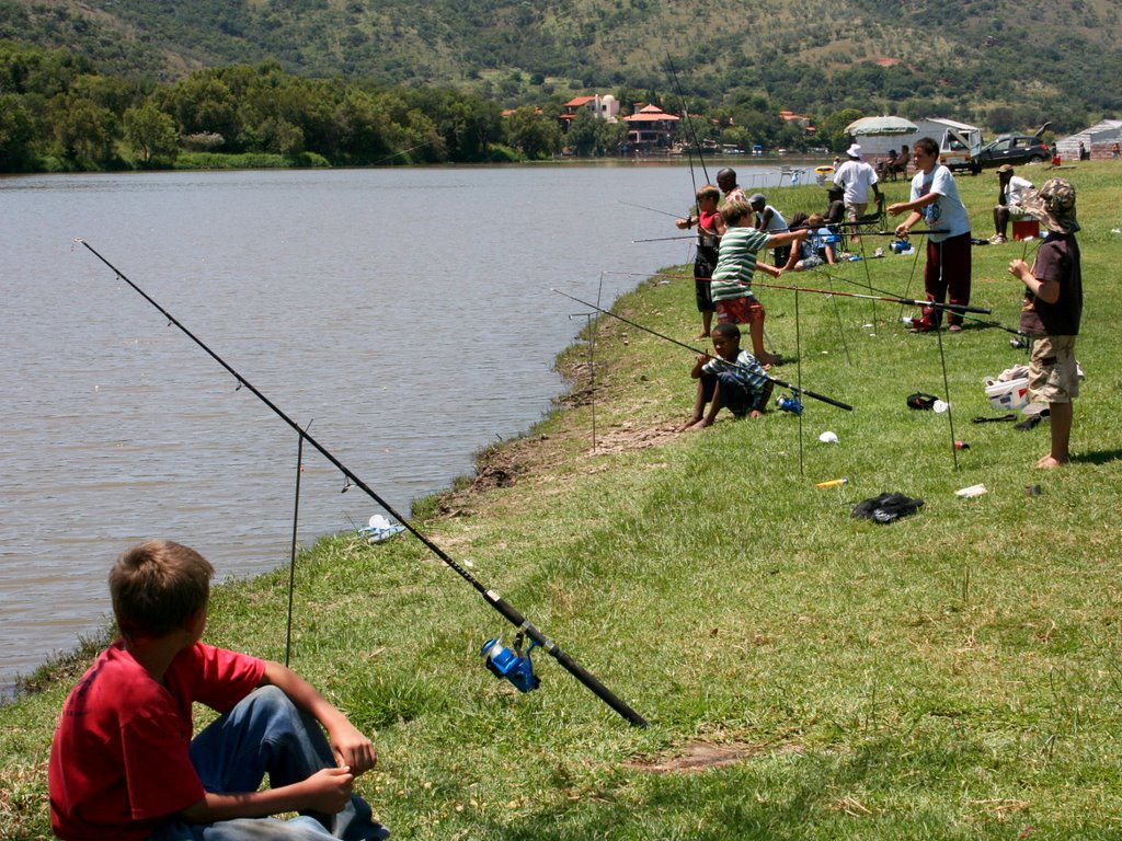
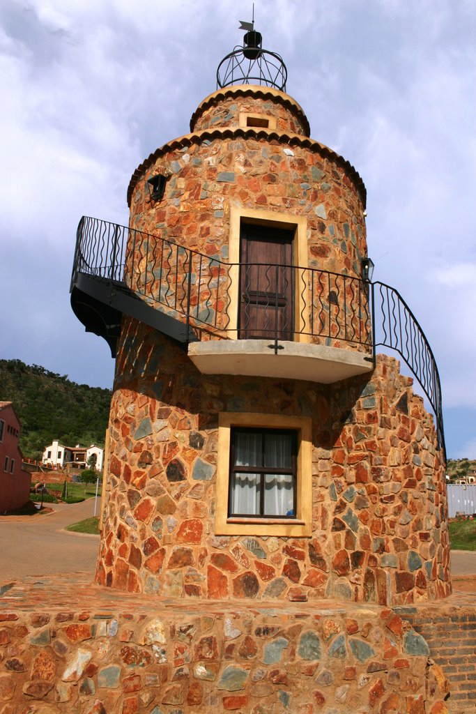
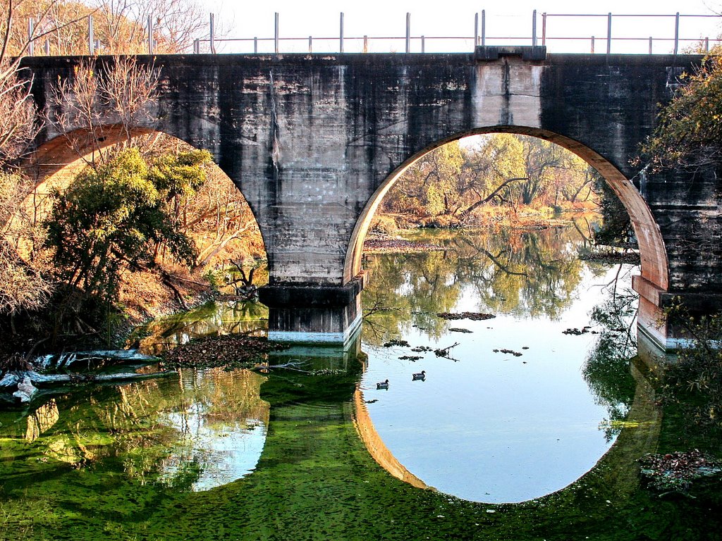
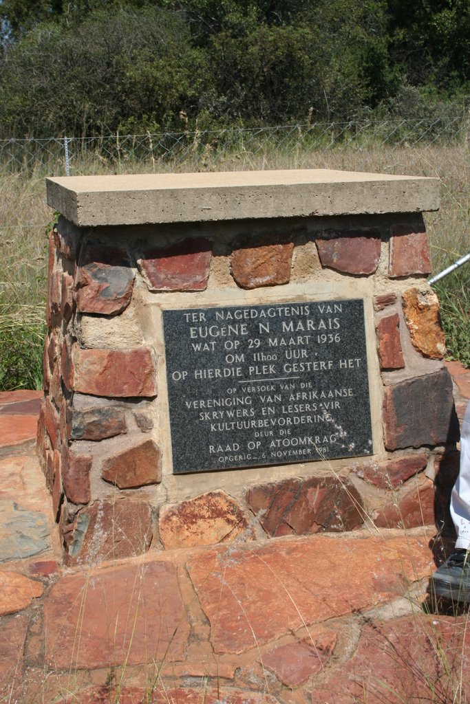
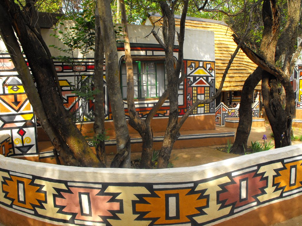
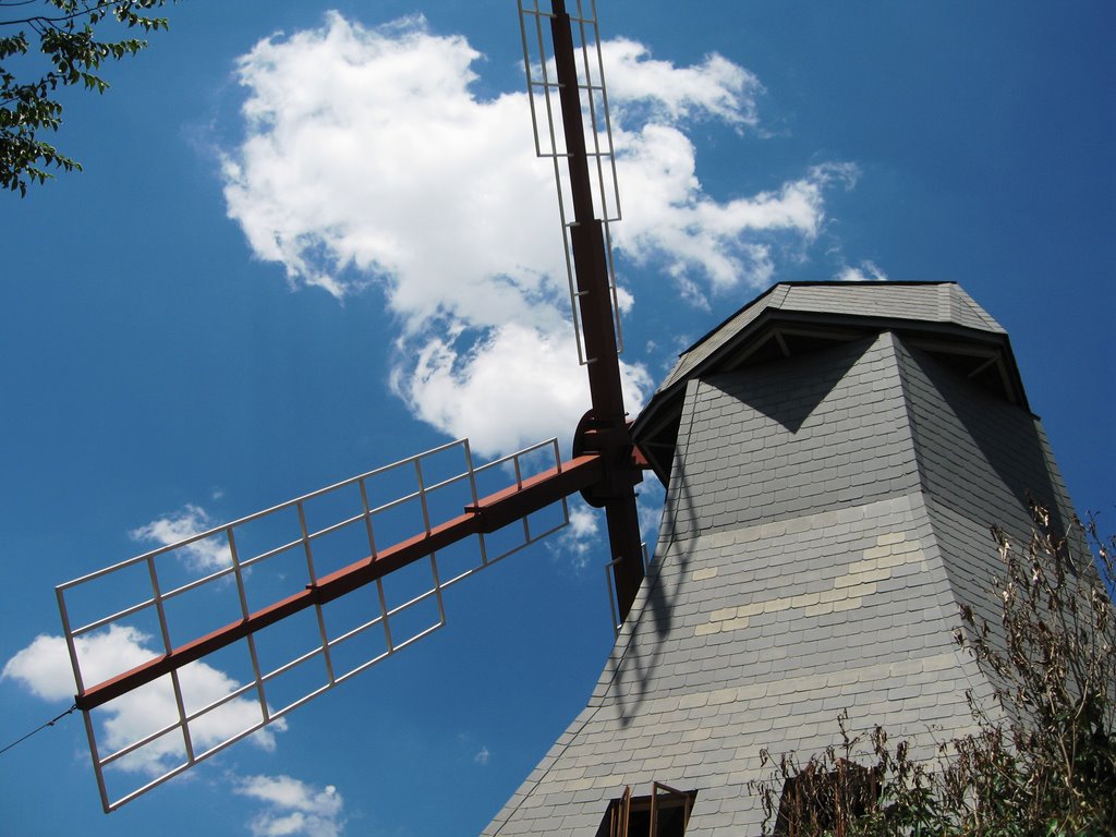
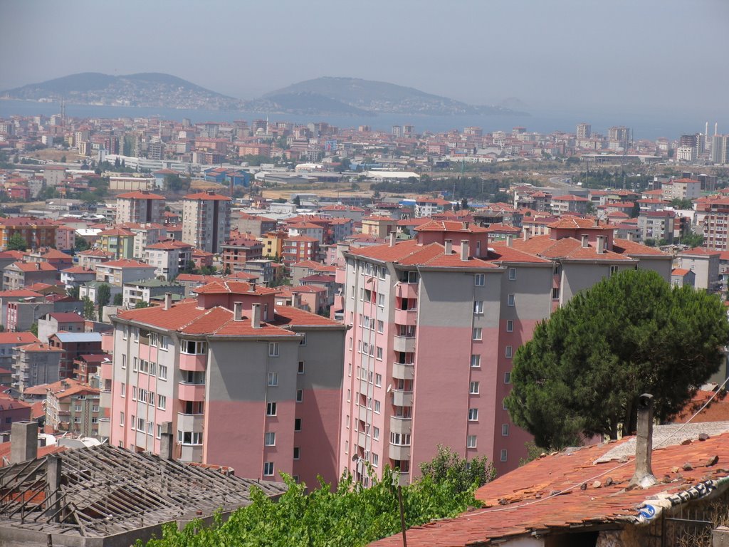
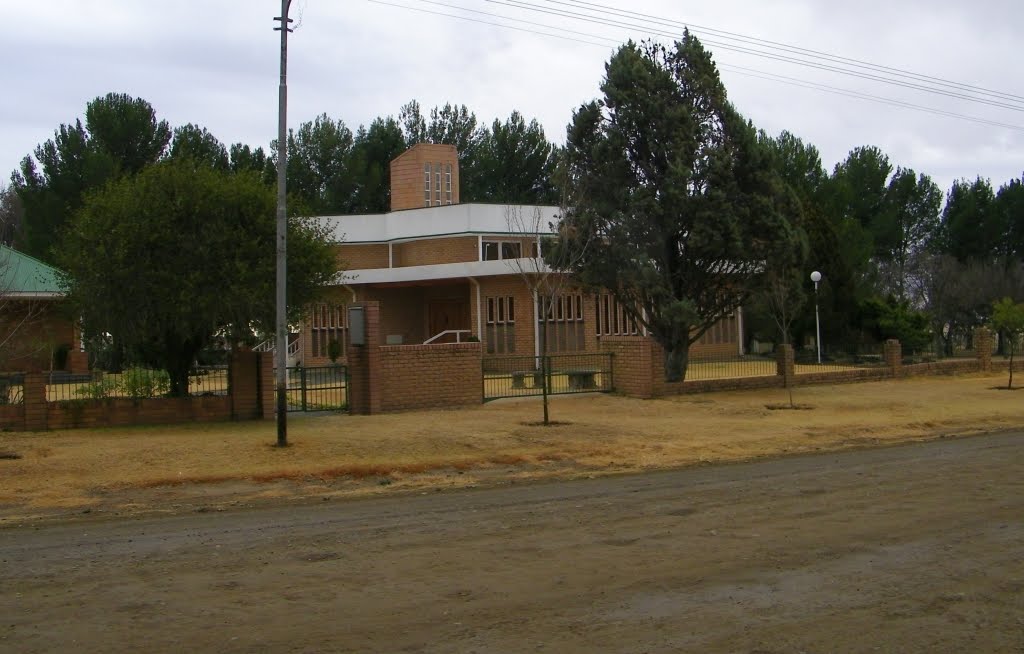
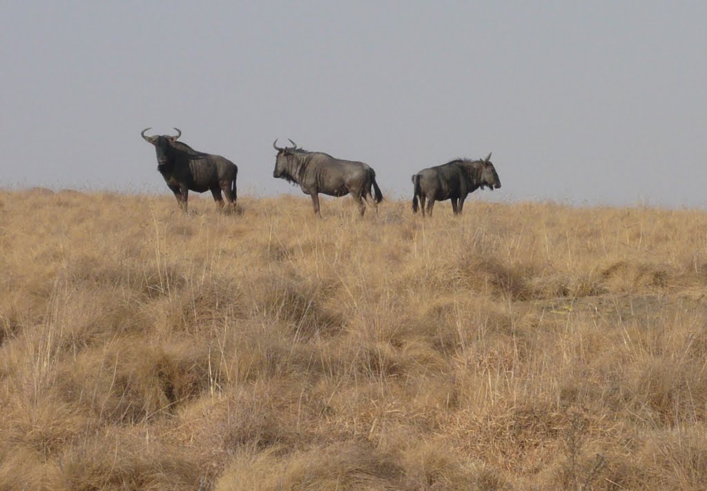
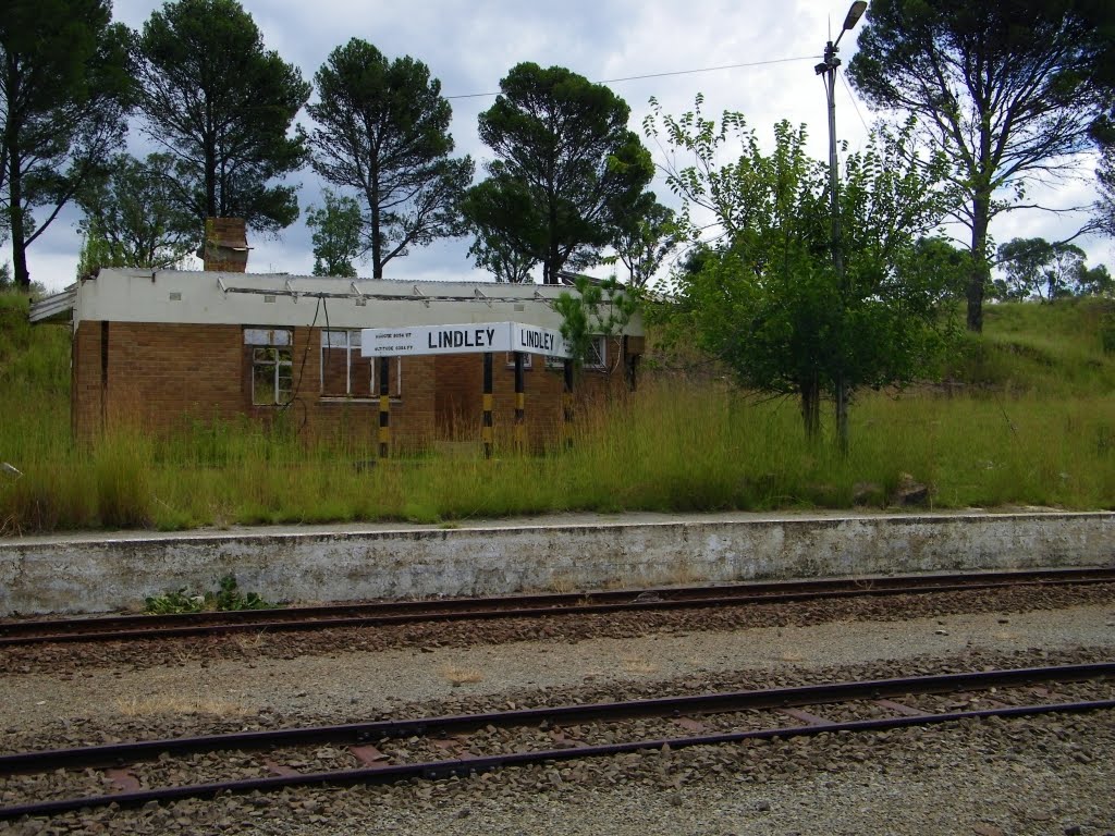
Photos of Broederstroom
Broederstroom Weather

Predicción: Clear sky
Temperatura: 15.3°
Humedad: 58%
Hora actual: 12:00 AM
Amanece: 04:26 AM
Anochece: 03:48 PM
Arlington, South Africa
Latitude: -28.0333 // Longitude: 27.85
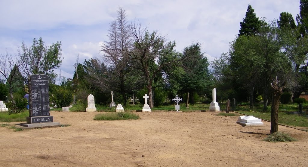
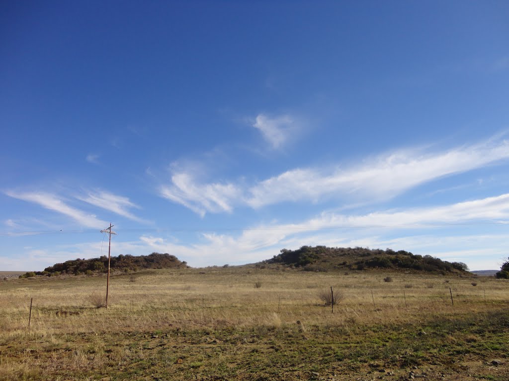
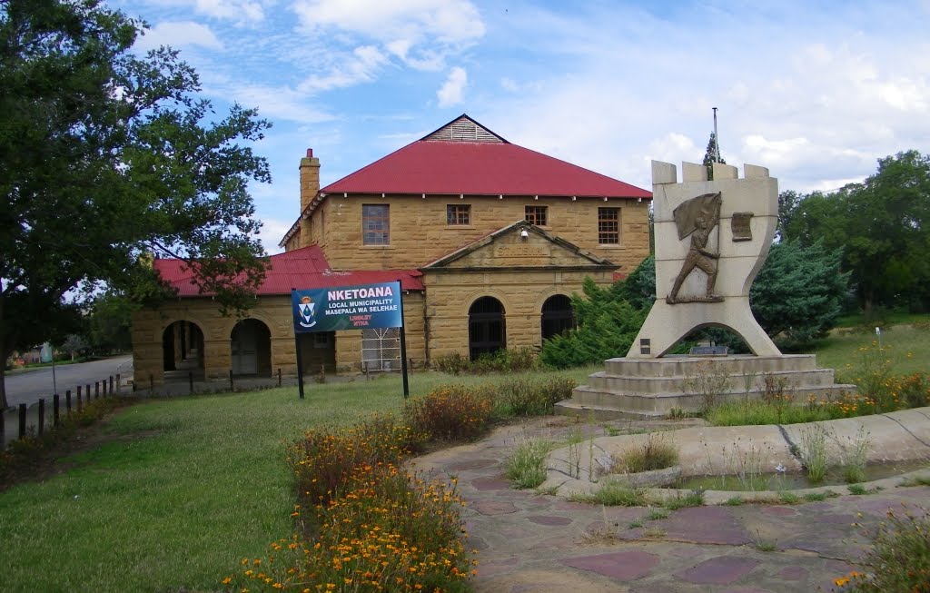
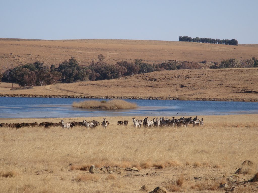
Photos of Arlington
Arlington Weather

Predicción: Clear sky
Temperatura: 11.7°
Humedad: 68%
Hora actual: 12:00 AM
Amanece: 04:28 AM
Anochece: 03:46 PM


