Distance between  Cape Town and
  Bultfontein
600.19 mi Straight Distance
683.91 mi Driving Distance
10 hours 27 mins Estimated Driving Time
The straight distance between Cape Town (Western Cape) and Bultfontein (Free State) is 600.19 mi, but the driving distance is 683.91 mi.
It takes 10 hours 31 mins to go from Cape Town to Bultfontein.
Driving directions from Cape Town to Bultfontein
Distance in kilometers
Straight distance: 965.70 km. Route distance: 1,100.41 km
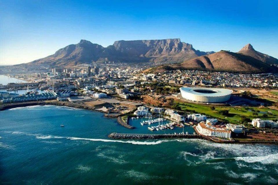
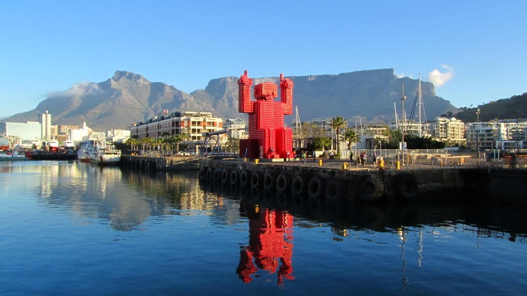
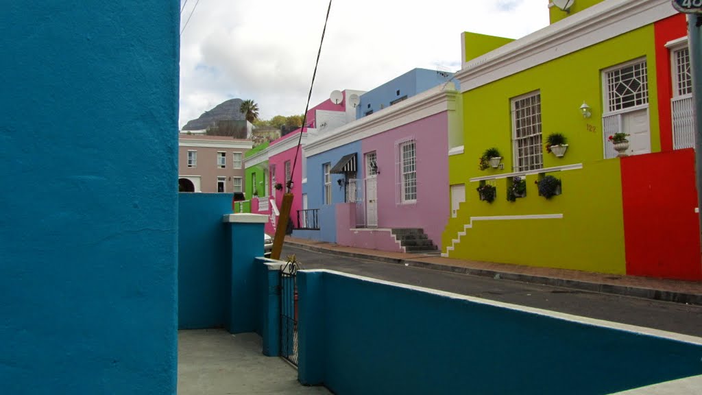
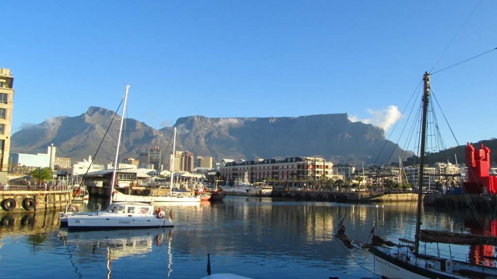
Cape Town, South Africa
Latitude: -33.9249 // Longitude: 18.4241
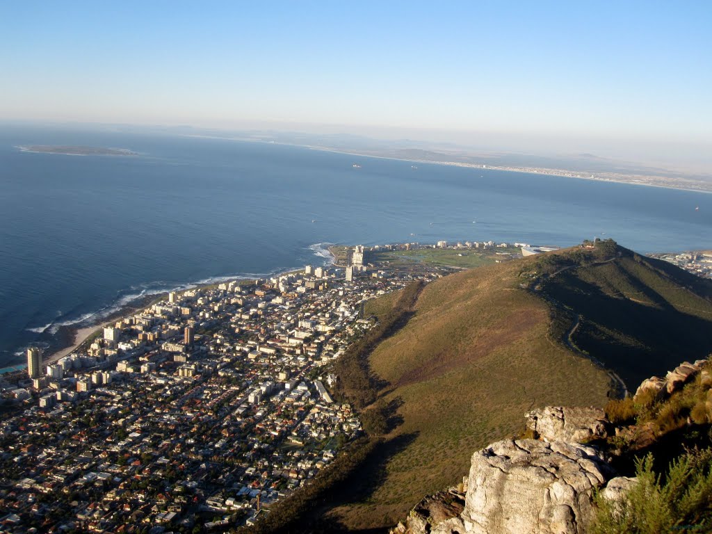
Photos of Cape Town
Cape Town Weather

Predicción: Clear sky
Temperatura: 21.6°
Humedad: 65%
Hora actual: 03:08 PM
Amanece: 07:11 AM
Anochece: 06:18 PM
Bultfontein, South Africa
Latitude: -28.2945 // Longitude: 26.1582
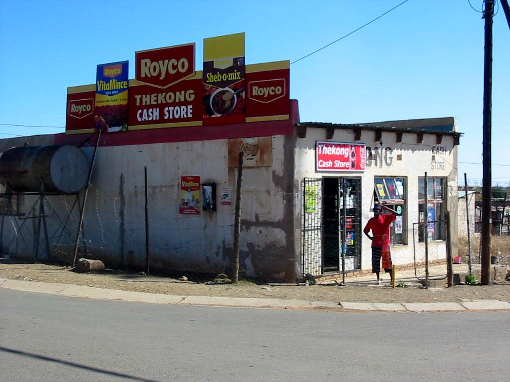
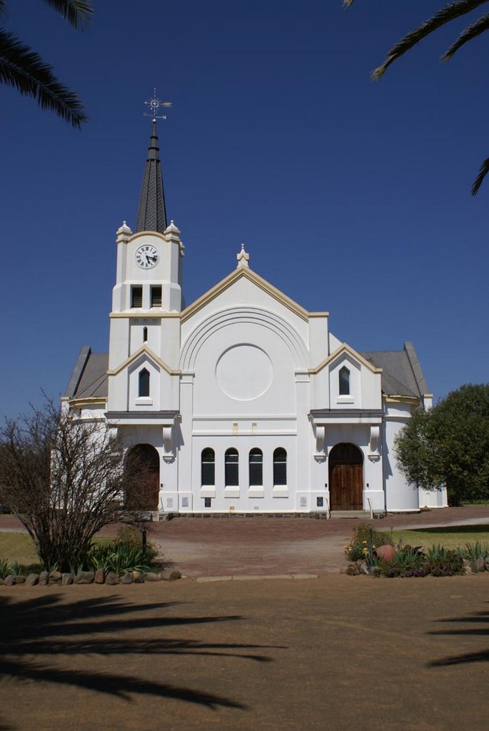
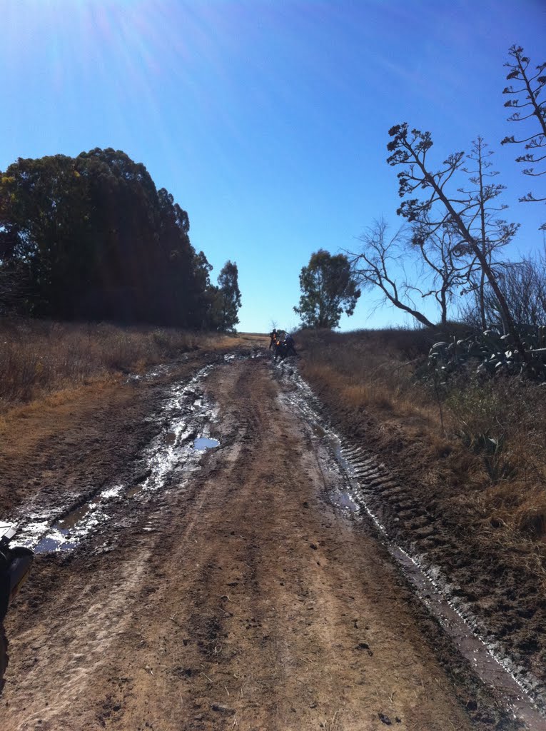
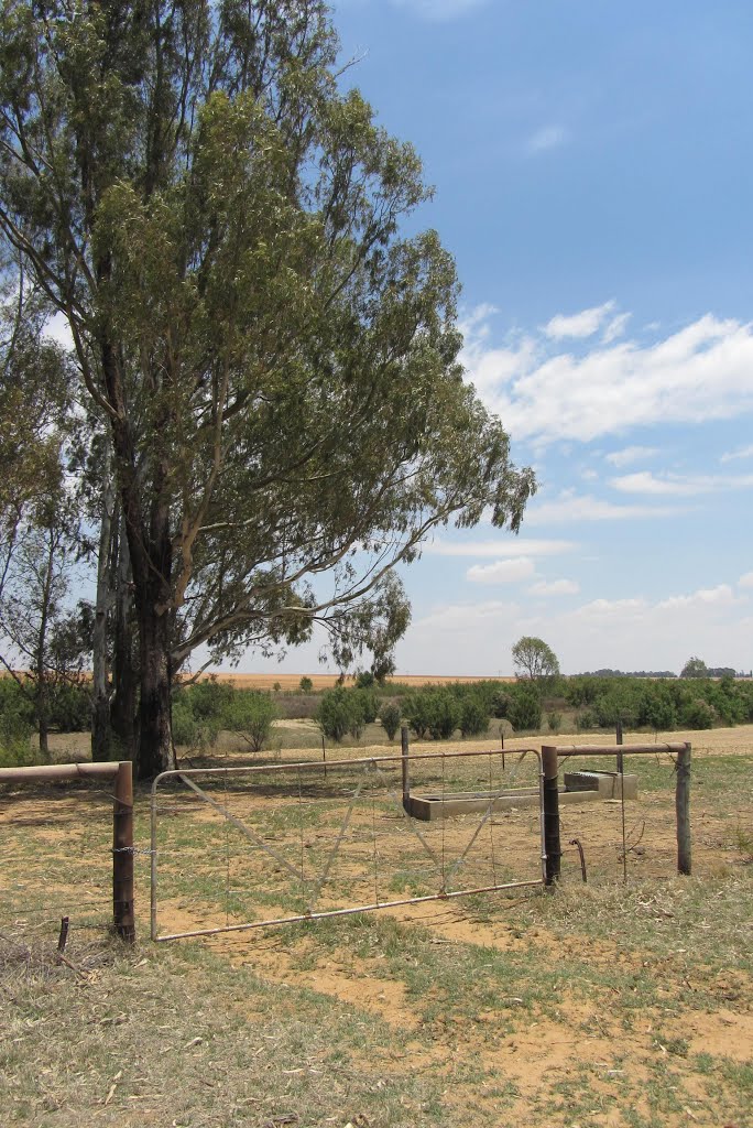
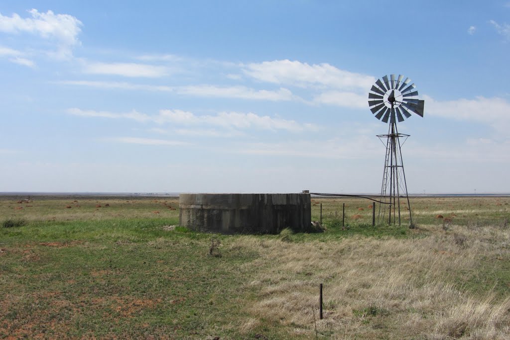
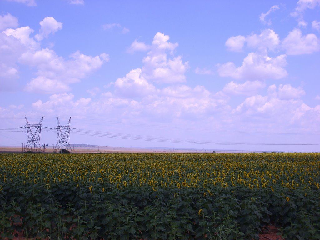
Photos of Bultfontein
Bultfontein Weather

Predicción: Clear sky
Temperatura: 23.4°
Humedad: 35%
Hora actual: 03:08 PM
Amanece: 06:35 AM
Anochece: 05:53 PM


