Distance between  Carletonville and
  Besters
199.09 mi Straight Distance
253.45 mi Driving Distance
4 hours 33 mins Estimated Driving Time
The straight distance between Carletonville (Gauteng) and Besters (KwaZulu-Natal) is 199.09 mi, but the driving distance is 253.45 mi.
It takes to go from Carletonville to Besters.
Driving directions from Carletonville to Besters
Distance in kilometers
Straight distance: 320.34 km. Route distance: 407.81 km
Carletonville, South Africa
Latitude: -26.3581 // Longitude: 27.3981
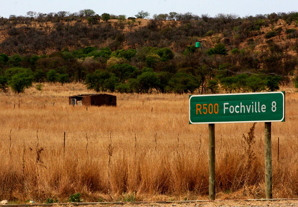
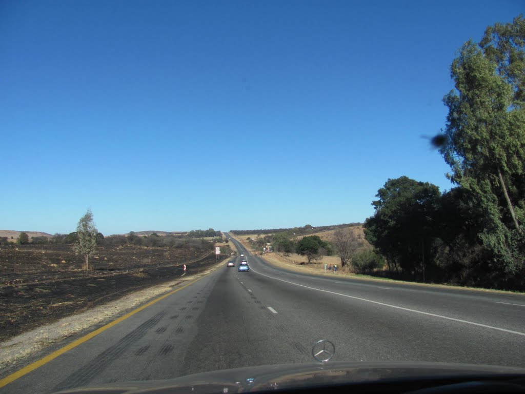
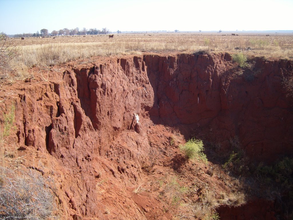
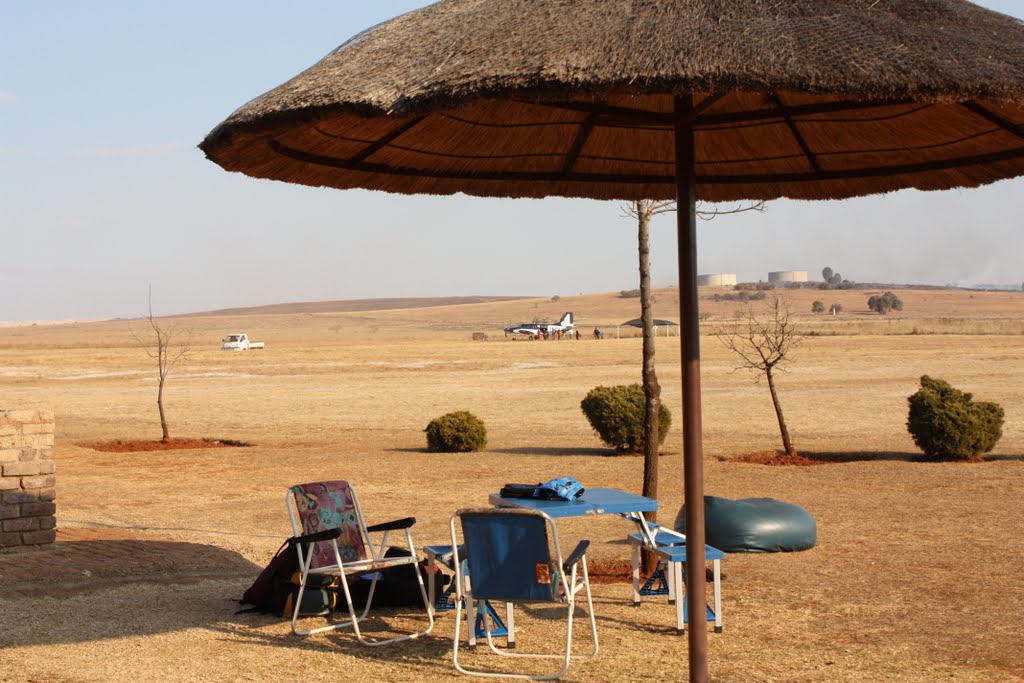
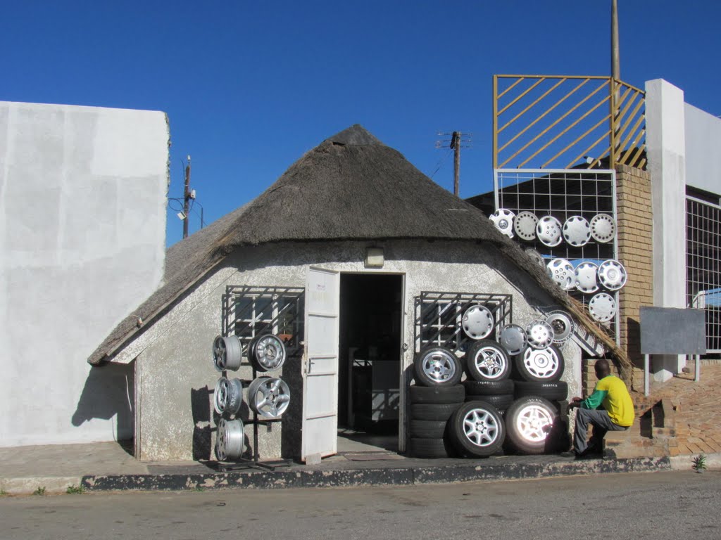
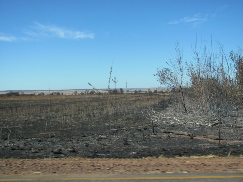
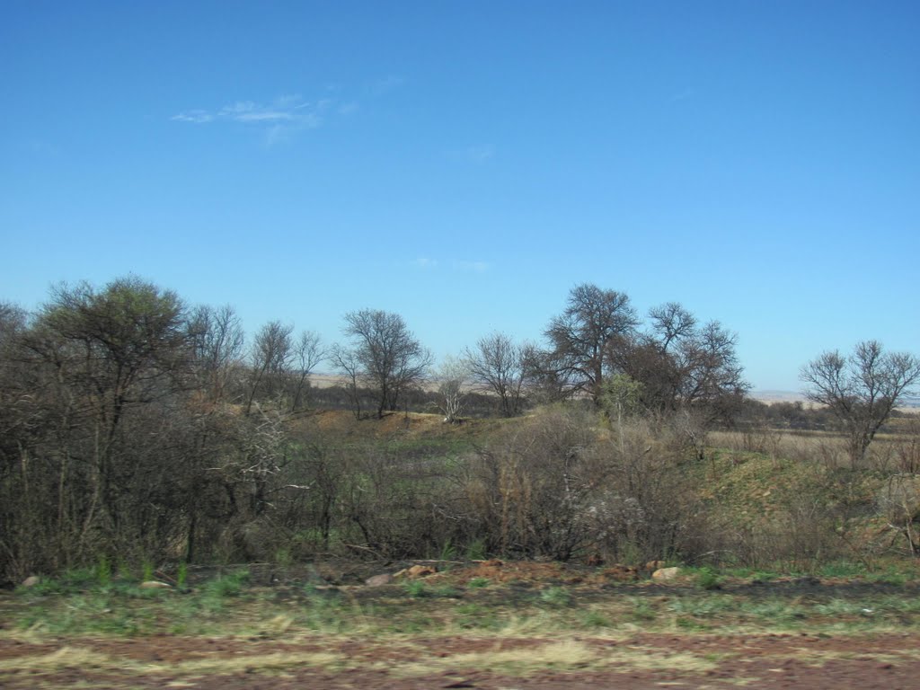
Photos of Carletonville
Carletonville Weather

Predicción: Few clouds
Temperatura: 14.7°
Humedad: 56%
Hora actual: 10:46 PM
Amanece: 06:28 AM
Anochece: 05:50 PM
Besters, South Africa
Latitude: -28.4333 // Longitude: 29.65
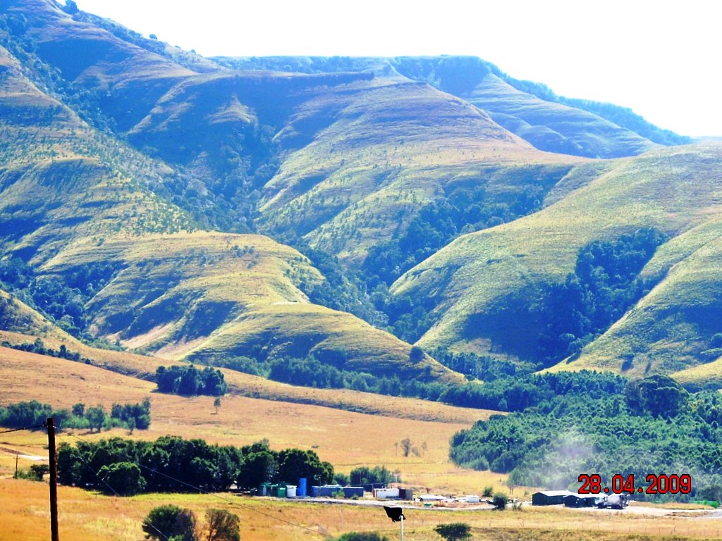
Photos of Besters
Besters Weather

Predicción: Few clouds
Temperatura: 14.6°
Humedad: 64%
Hora actual: 02:00 AM
Amanece: 06:21 AM
Anochece: 05:39 PM


