Distance between  Elliot and
  Dysseldorp
352.65 mi Straight Distance
443.28 mi Driving Distance
9 hours 9 mins Estimated Driving Time
The straight distance between Elliot (Eastern Cape) and Dysseldorp (Western Cape) is 352.65 mi, but the driving distance is 443.28 mi.
It takes 7 hours 15 mins to go from Elliot to Dysseldorp.
Driving directions from Elliot to Dysseldorp
Distance in kilometers
Straight distance: 567.41 km. Route distance: 713.24 km
Elliot, South Africa
Latitude: -31.32 // Longitude: 27.85
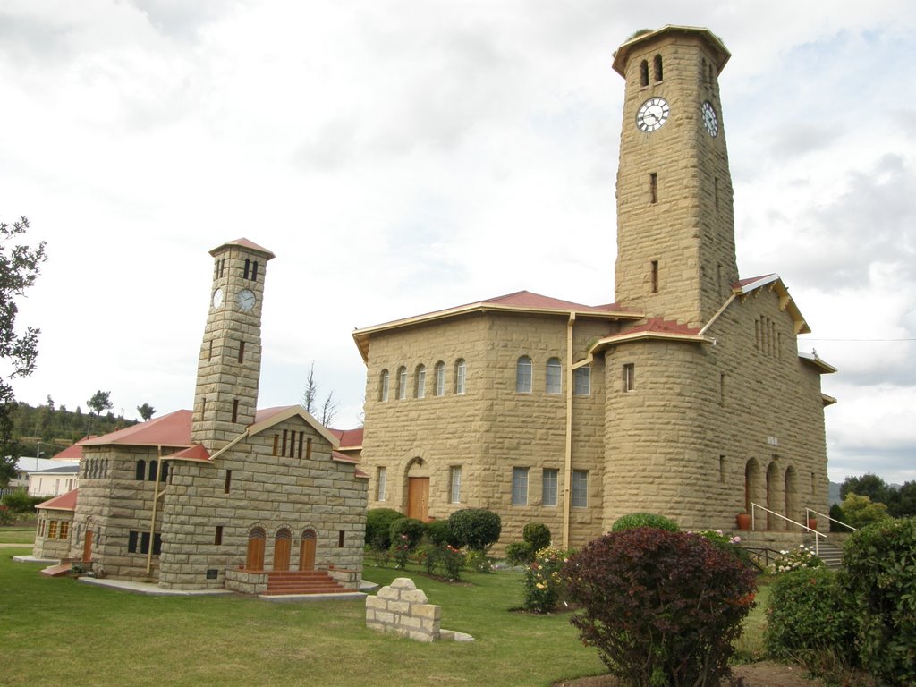
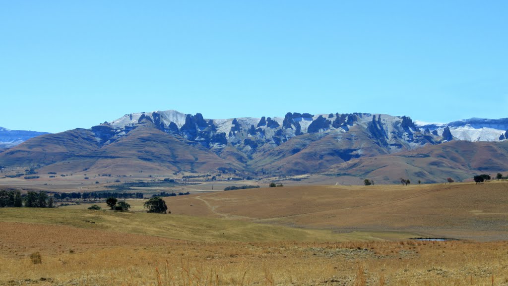
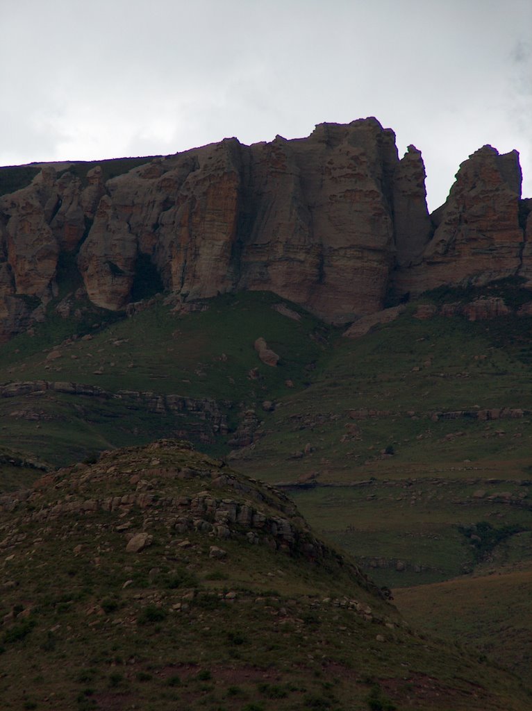
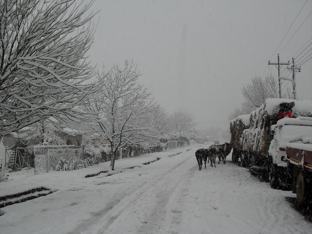
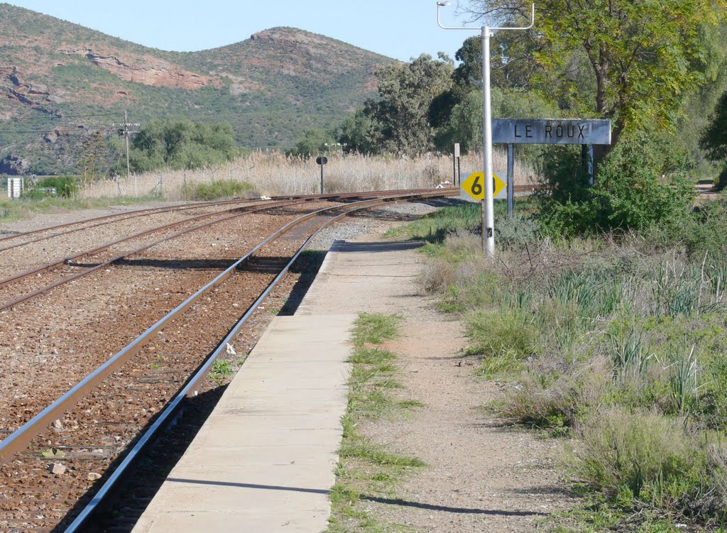
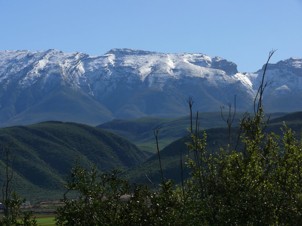
Photos of Elliot
Elliot Weather

Predicción: Clear sky
Temperatura: 12.4°
Humedad: 71%
Hora actual: 04:29 AM
Amanece: 06:32 AM
Anochece: 05:43 PM
Dysseldorp, South Africa
Latitude: -33.5631 // Longitude: 22.4163
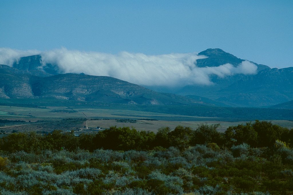
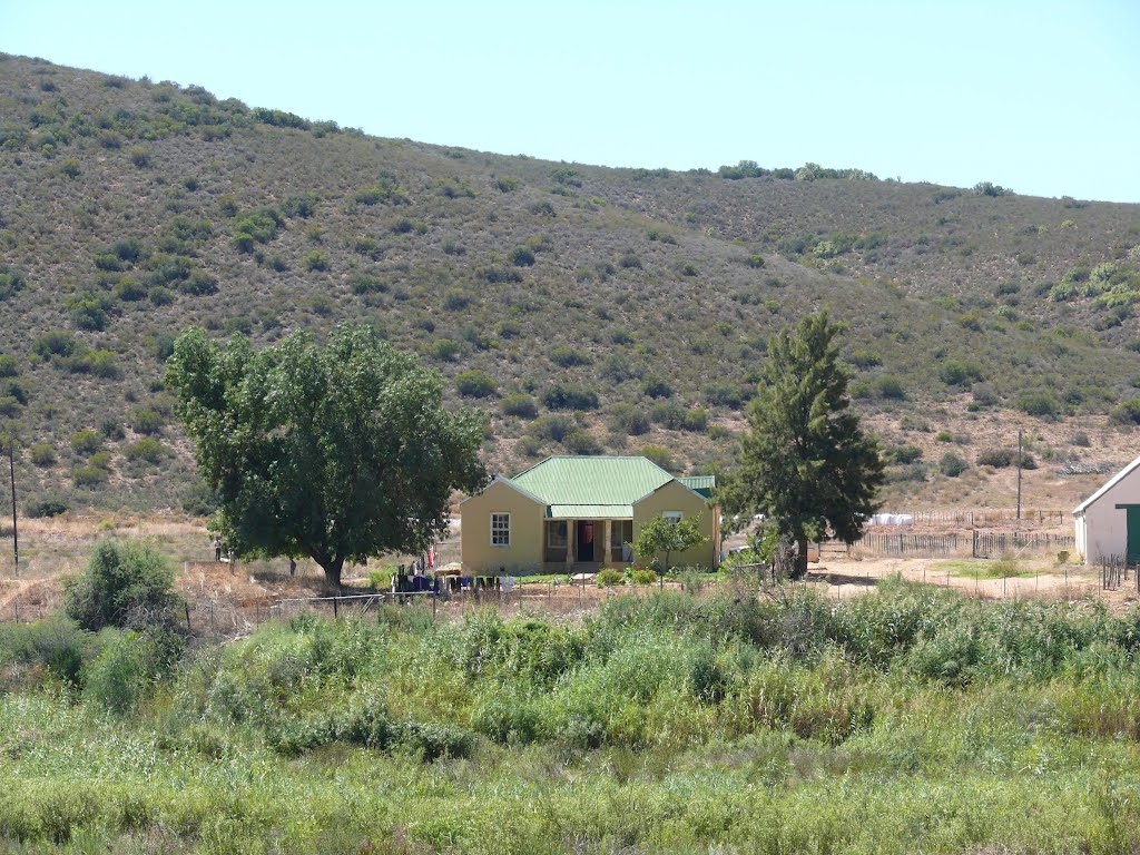
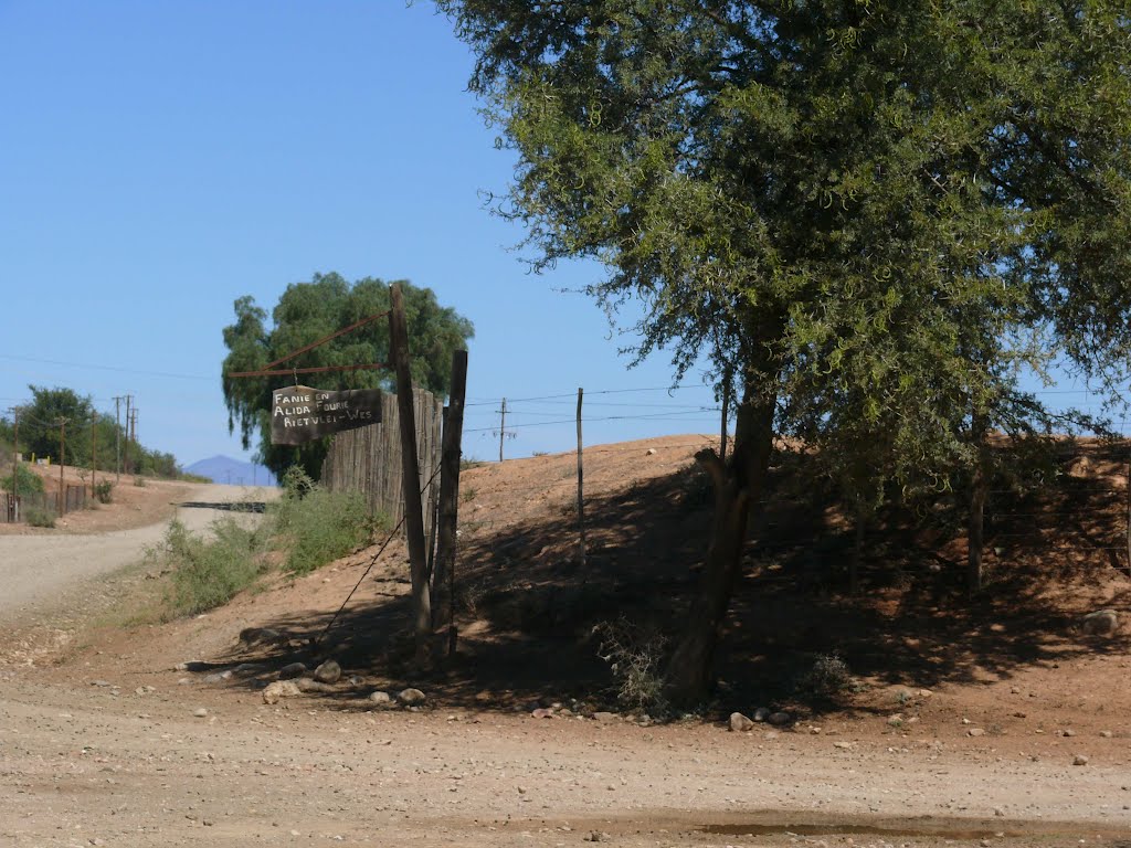
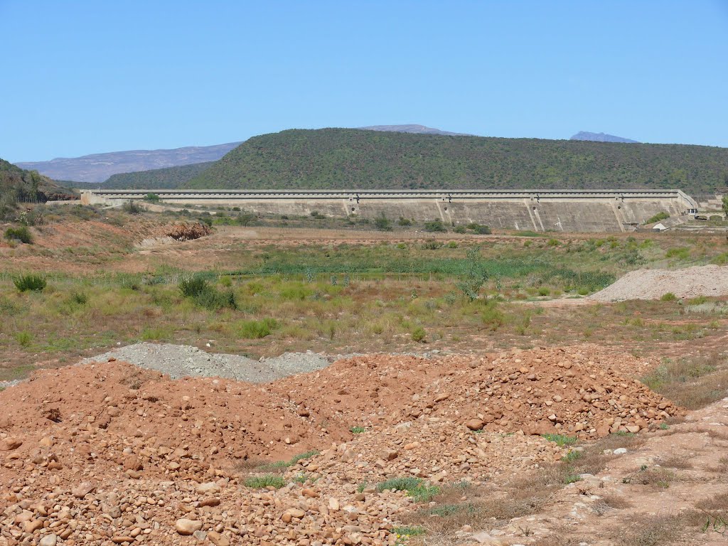
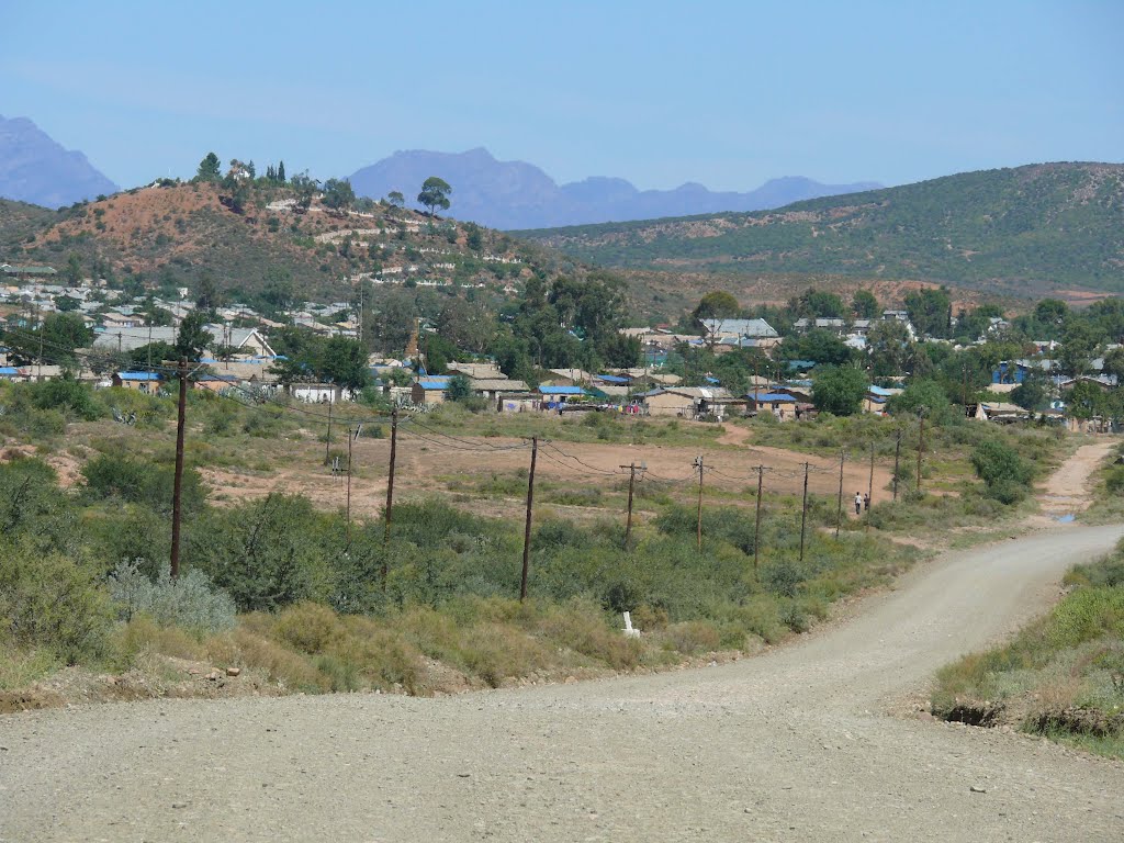
Photos of Dysseldorp
Dysseldorp Weather

Predicción: Overcast clouds
Temperatura: 12.8°
Humedad: 74%
Hora actual: 02:00 AM
Amanece: 06:56 AM
Anochece: 06:02 PM


