
Distance between  Emgwenya and
  Uitenhage
634.85 mi Straight Distance
811.61 mi Driving Distance
12 hours 48 mins Estimated Driving Time
The straight distance between Emgwenya (Mpumalanga) and Uitenhage (Eastern Cape) is 634.85 mi, but the driving distance is 811.61 mi.
It takes 12 hours 1 min to go from Emgwenya to Uitenhage.
Driving directions from Emgwenya to Uitenhage
Distance in kilometers
Straight distance: 1,021.48 km. Route distance: 1,305.88 km
Emgwenya, South Africa
Latitude: -25.6348 // Longitude: 30.3332
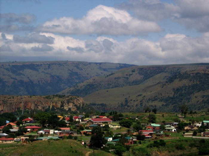
Photos of Emgwenya


Emgwenya Weather

Predicción: Clear sky
Temperatura: 27.1°
Humedad: 29%
Hora actual: 12:00 AM
Amanece: 04:15 AM
Anochece: 03:39 PM
Uitenhage, South Africa
Latitude: -33.7637 // Longitude: 25.3936
Photos of Uitenhage


Uitenhage Weather

Predicción: Few clouds
Temperatura: 22.8°
Humedad: 58%
Hora actual: 02:28 PM
Amanece: 06:43 AM
Anochece: 05:51 PM


