
Distance between  Germiston and
  Fort Beaufort
462.28 mi Straight Distance
601.92 mi Driving Distance
9 hours 40 mins Estimated Driving Time
The straight distance between Germiston (Gauteng) and Fort Beaufort (Eastern Cape) is 462.28 mi, but the driving distance is 601.92 mi.
It takes to go from Germiston to Fort Beaufort.
Driving directions from Germiston to Fort Beaufort
Distance in kilometers
Straight distance: 743.81 km. Route distance: 968.49 km
Germiston, South Africa
Latitude: -26.2178 // Longitude: 28.1672
Photos of Germiston


Germiston Weather

Predicción: Clear sky
Temperatura: 22.5°
Humedad: 50%
Hora actual: 02:34 PM
Amanece: 06:25 AM
Anochece: 05:47 PM
Fort Beaufort, South Africa
Latitude: -32.7741 // Longitude: 26.6329
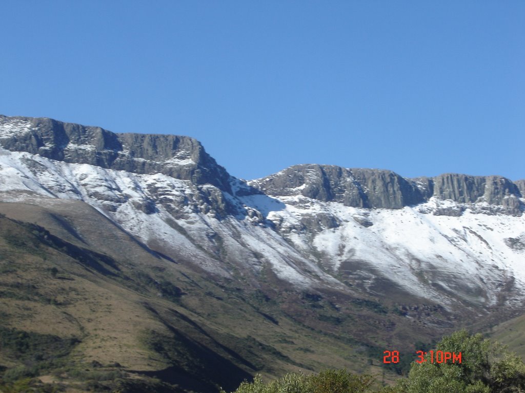
Photos of Fort Beaufort


Fort Beaufort Weather

Predicción: Few clouds
Temperatura: 30.6°
Humedad: 31%
Hora actual: 02:34 PM
Amanece: 06:37 AM
Anochece: 05:47 PM


