
Distance between  Graafwater and
  Dealesville
489.92 mi Straight Distance
726.46 mi Driving Distance
11 hours 44 mins Estimated Driving Time
The straight distance between Graafwater (Western Cape) and Dealesville (Free State) is 489.92 mi, but the driving distance is 726.46 mi.
It takes to go from Graafwater to Dealesville.
Driving directions from Graafwater to Dealesville
Distance in kilometers
Straight distance: 788.27 km. Route distance: 1,168.87 km
Graafwater, South Africa
Latitude: -32.1534 // Longitude: 18.6042
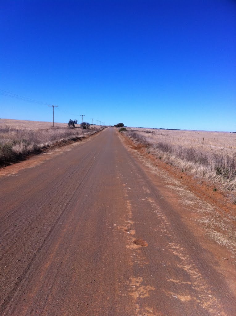
Photos of Graafwater


")


Graafwater Weather

Predicción: Overcast clouds
Temperatura: 21.6°
Humedad: 42%
Hora actual: 12:00 AM
Amanece: 05:10 AM
Anochece: 04:18 PM
Dealesville, South Africa
Latitude: -28.6667 // Longitude: 25.7667
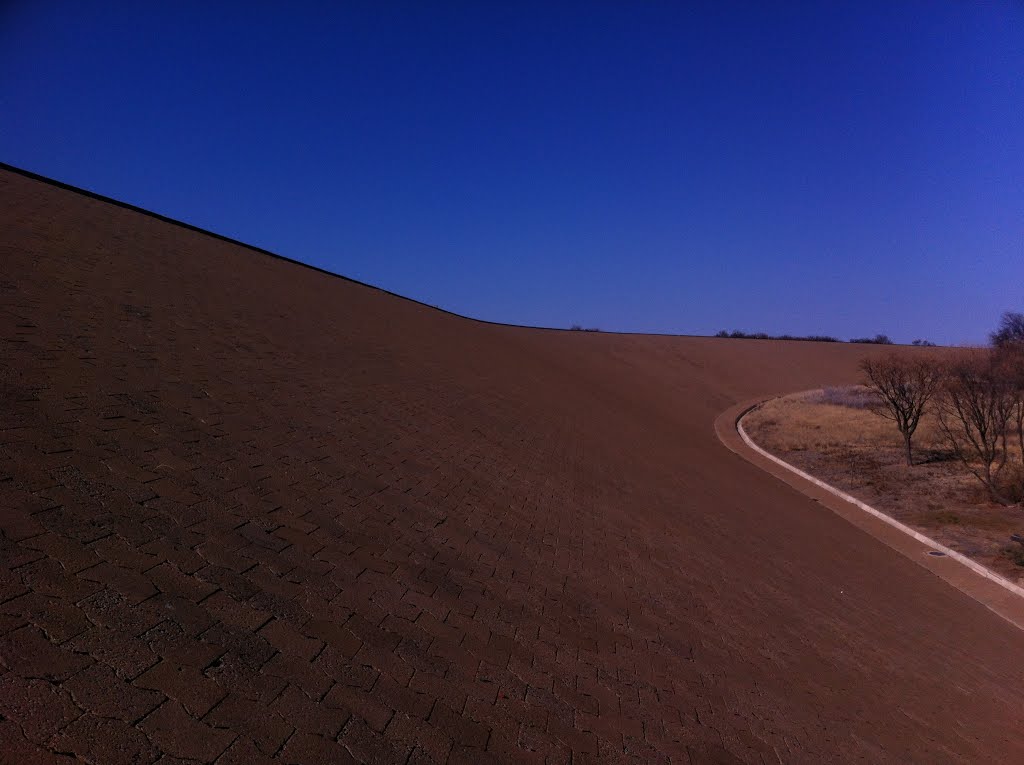
Photos of Dealesville


, looking south east")

Dealesville Weather

Predicción: Clear sky
Temperatura: 15.6°
Humedad: 60%
Hora actual: 12:00 AM
Amanece: 04:37 AM
Anochece: 03:54 PM


