
Distance between  Heidelberg and
  Greytown
664.96 mi Straight Distance
933.40 mi Driving Distance
14 hours 57 mins Estimated Driving Time
The straight distance between Heidelberg (Western Cape) and Greytown (KwaZulu-Natal) is 664.96 mi, but the driving distance is 933.40 mi.
It takes to go from Heidelberg to Greytown.
Driving directions from Heidelberg to Greytown
Distance in kilometers
Straight distance: 1,069.92 km. Route distance: 1,501.83 km
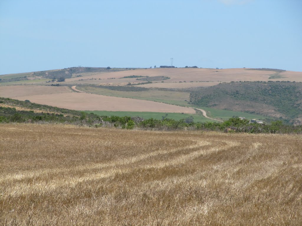
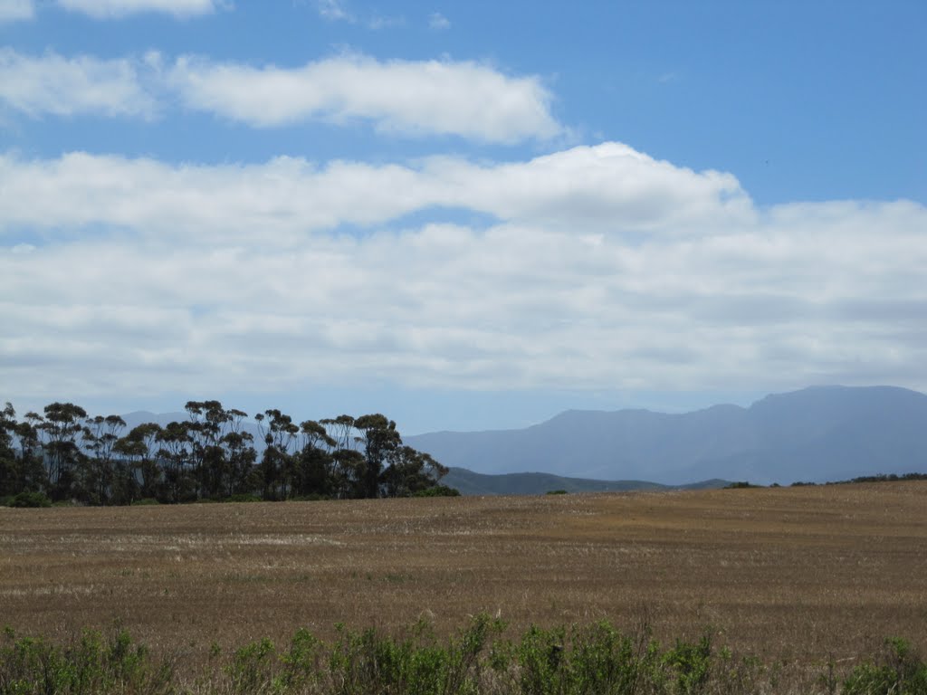
Heidelberg, South Africa
Latitude: -34.0902 // Longitude: 20.9501
Photos of Heidelberg


Heidelberg Weather

Predicción: Few clouds
Temperatura: 16.4°
Humedad: 90%
Hora actual: 12:00 AM
Amanece: 05:00 AM
Anochece: 04:10 PM
Greytown, South Africa
Latitude: -29.0628 // Longitude: 30.5926
Photos of Greytown


Greytown Weather

Predicción: Light rain
Temperatura: 13.2°
Humedad: 98%
Hora actual: 06:45 AM
Amanece: 06:16 AM
Anochece: 05:37 PM


