
Distance between  Ingwavuma and
  Hobhouse
337.46 mi Straight Distance
536.07 mi Driving Distance
11 hours 20 mins Estimated Driving Time
The straight distance between Ingwavuma (KwaZulu-Natal) and Hobhouse (Free State) is 337.46 mi, but the driving distance is 536.07 mi.
It takes to go from Ingwavuma to Hobhouse.
Driving directions from Ingwavuma to Hobhouse
Distance in kilometers
Straight distance: 542.97 km. Route distance: 862.53 km
Ingwavuma, South Africa
Latitude: -27.1322 // Longitude: 31.9942
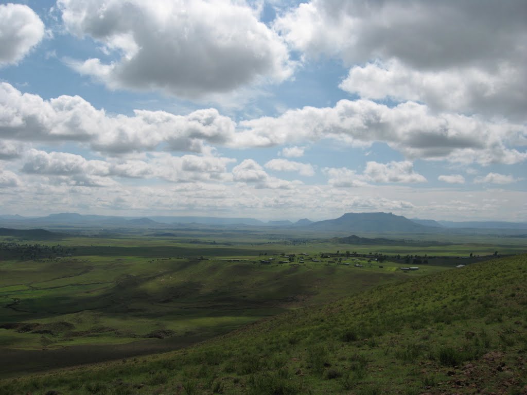
Photos of Ingwavuma


Ingwavuma Weather

Predicción: Broken clouds
Temperatura: 23.1°
Humedad: 56%
Hora actual: 02:03 PM
Amanece: 06:09 AM
Anochece: 05:33 PM
Hobhouse, South Africa
Latitude: -29.5315 // Longitude: 27.1601
Photos of Hobhouse


Hobhouse Weather

Predicción: Few clouds
Temperatura: 21.1°
Humedad: 36%
Hora actual: 02:00 AM
Amanece: 06:31 AM
Anochece: 05:50 PM


