Distance between  Kimberley and
  Humansdorp
366.03 mi Straight Distance
560.42 mi Driving Distance
9 hours 7 mins Estimated Driving Time
The straight distance between Kimberley (Northern Cape) and Humansdorp (Eastern Cape) is 366.03 mi, but the driving distance is 560.42 mi.
It takes 8 hours 23 mins to go from Kimberley to Humansdorp.
Driving directions from Kimberley to Humansdorp
Distance in kilometers
Straight distance: 588.94 km. Route distance: 901.72 km
Kimberley, South Africa
Latitude: -28.7293 // Longitude: 24.754
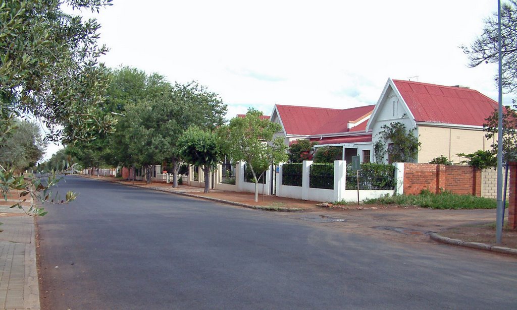
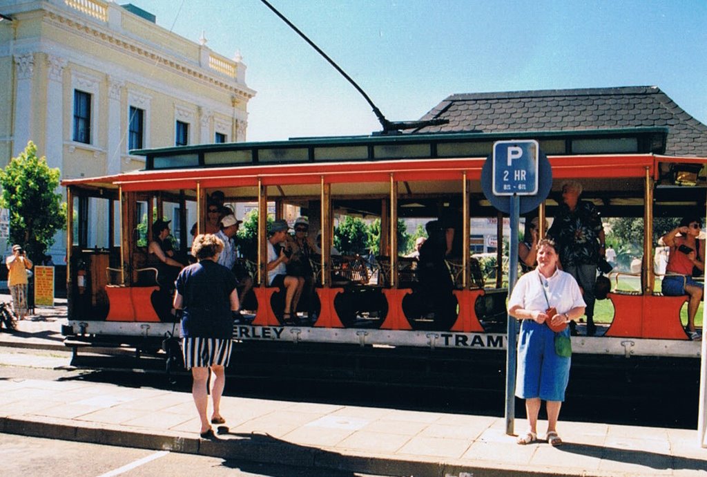
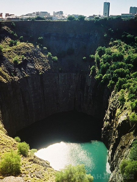
Photos of Kimberley
Kimberley Weather

Predicción: Light rain
Temperatura: 12.9°
Humedad: 94%
Hora actual: 07:53 AM
Amanece: 06:40 AM
Anochece: 06:01 PM
Humansdorp, South Africa
Latitude: -34.0269 // Longitude: 24.7755
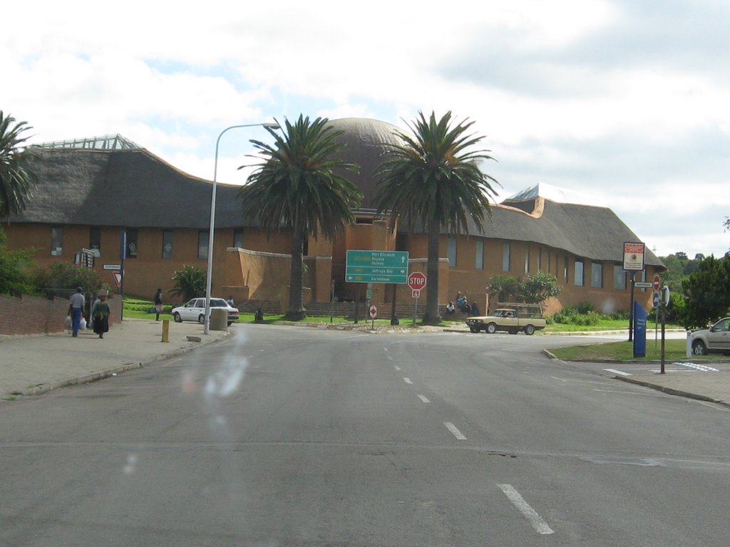
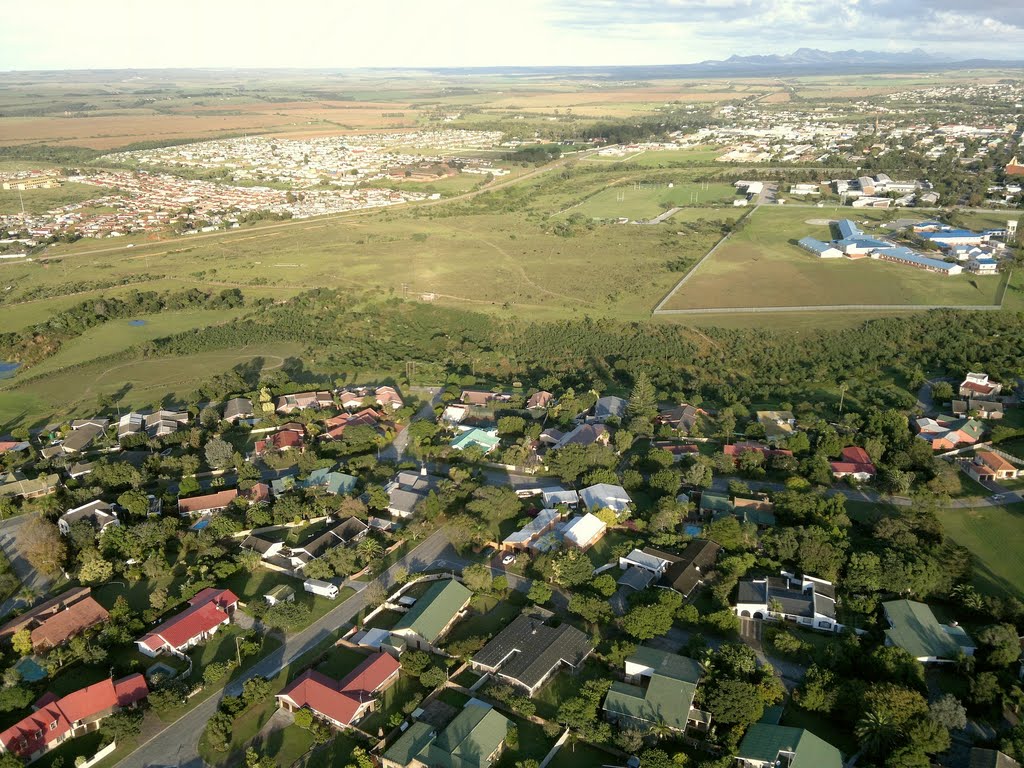
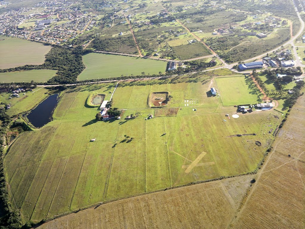
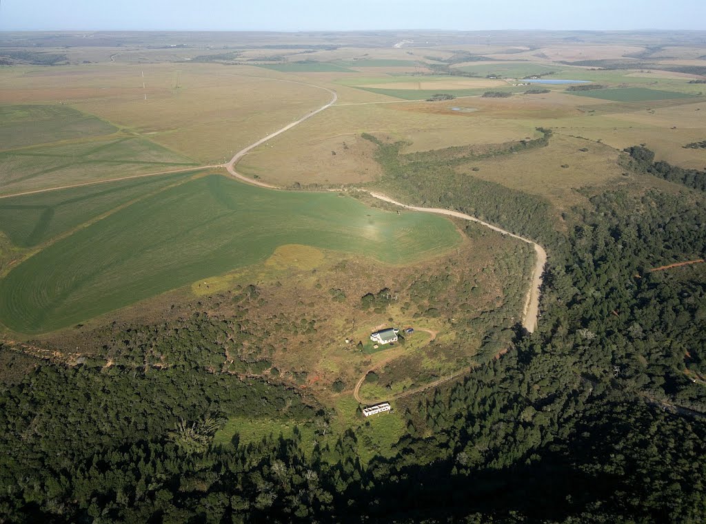
Photos of Humansdorp
Humansdorp Weather

Predicción: Few clouds
Temperatura: 17.6°
Humedad: 90%
Hora actual: 07:53 AM
Amanece: 06:45 AM
Anochece: 05:55 PM


