
Distance between  Kokstad and
  Kenton-on-Sea
269.59 mi Straight Distance
351.17 mi Driving Distance
7 hours 18 mins Estimated Driving Time
The straight distance between Kokstad (KwaZulu-Natal) and Kenton-on-Sea (Eastern Cape) is 269.59 mi, but the driving distance is 351.17 mi.
It takes 7 hours 38 mins to go from Kokstad to Kenton-on-Sea.
Driving directions from Kokstad to Kenton-on-Sea
Distance in kilometers
Straight distance: 433.77 km. Route distance: 565.03 km
Kokstad, South Africa
Latitude: -30.5539 // Longitude: 29.4268
Photos of Kokstad


Kokstad Weather

Predicción: Few clouds
Temperatura: 11.5°
Humedad: 84%
Hora actual: 05:45 AM
Amanece: 06:24 AM
Anochece: 05:38 PM
Kenton-on-Sea, South Africa
Latitude: -33.6806 // Longitude: 26.6701
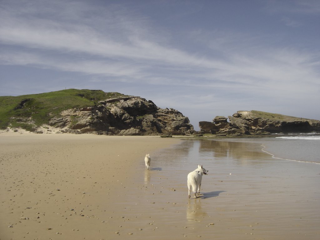
Photos of Kenton-on-Sea


Kenton-on-Sea Weather

Predicción: Scattered clouds
Temperatura: 19.0°
Humedad: 84%
Hora actual: 02:00 AM
Amanece: 06:38 AM
Anochece: 05:46 PM


