
Distance between  Lady Grey and
  Kokstad
131.37 mi Straight Distance
250.94 mi Driving Distance
5 hours 57 mins Estimated Driving Time
The straight distance between Lady Grey (Eastern Cape) and Kokstad (KwaZulu-Natal) is 131.37 mi, but the driving distance is 250.94 mi.
It takes 5 hours 21 mins to go from Lady Grey to Kokstad.
Driving directions from Lady Grey to Kokstad
Distance in kilometers
Straight distance: 211.37 km. Route distance: 403.76 km
Lady Grey, South Africa
Latitude: -30.7146 // Longitude: 27.225
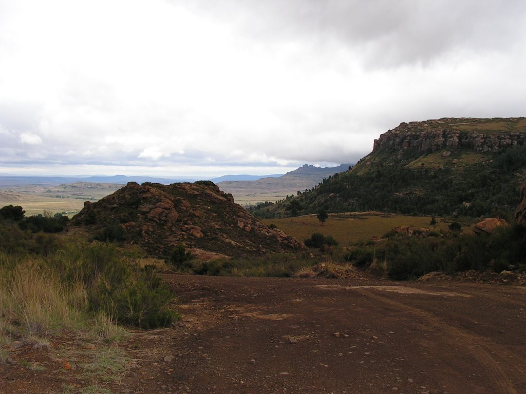
Photos of Lady Grey


Lady Grey Weather

Predicción: Clear sky
Temperatura: 10.6°
Humedad: 78%
Hora actual: 03:46 AM
Amanece: 06:33 AM
Anochece: 05:46 PM
Kokstad, South Africa
Latitude: -30.5539 // Longitude: 29.4268
Photos of Kokstad


Kokstad Weather
Predicción: Clear sky
Temperatura: 12.1°
Humedad: 74%
Hora actual: 03:46 AM
Amanece: 06:24 AM
Anochece: 05:37 PM


