
Distance between  Lydenburg and
  Kenton-on-Sea
635.44 mi Straight Distance
867.67 mi Driving Distance
14 hours 13 mins Estimated Driving Time
The straight distance between Lydenburg (Mpumalanga) and Kenton-on-Sea (Eastern Cape) is 635.44 mi, but the driving distance is 867.67 mi.
It takes to go from Lydenburg to Kenton-on-Sea.
Driving directions from Lydenburg to Kenton-on-Sea
Distance in kilometers
Straight distance: 1,022.43 km. Route distance: 1,396.08 km
Lydenburg, South Africa
Latitude: -25.0934 // Longitude: 30.4562
Photos of Lydenburg


")


Lydenburg Weather

Predicción: Clear sky
Temperatura: 13.1°
Humedad: 74%
Hora actual: 12:30 AM
Amanece: 06:15 AM
Anochece: 05:38 PM
Kenton-on-Sea, South Africa
Latitude: -33.6806 // Longitude: 26.6701
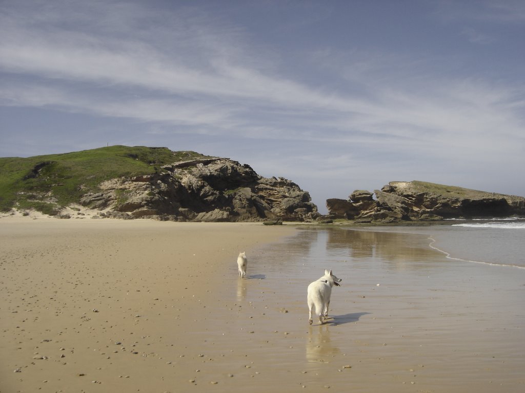
Photos of Kenton-on-Sea


Kenton-on-Sea Weather

Predicción: Broken clouds
Temperatura: 17.1°
Humedad: 89%
Hora actual: 02:00 AM
Amanece: 06:39 AM
Anochece: 05:45 PM


