Distance between  Phalaborwa and
  Mtubatuba
315.30 mi Straight Distance
436.37 mi Driving Distance
9 hours 38 mins Estimated Driving Time
The straight distance between Phalaborwa (Limpopo) and Mtubatuba (KwaZulu-Natal) is 315.30 mi, but the driving distance is 436.37 mi.
It takes 8 hours 26 mins to go from Phalaborwa to Mtubatuba.
Driving directions from Phalaborwa to Mtubatuba
Distance in kilometers
Straight distance: 507.32 km. Route distance: 702.12 km
Phalaborwa, South Africa
Latitude: -23.95 // Longitude: 31.1167
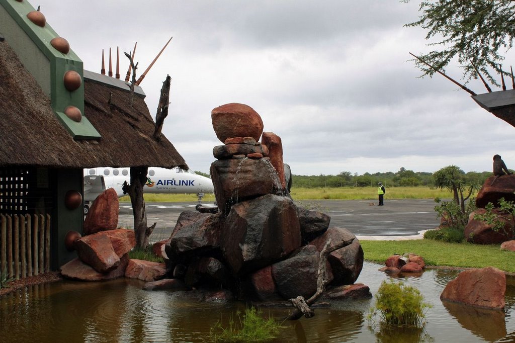
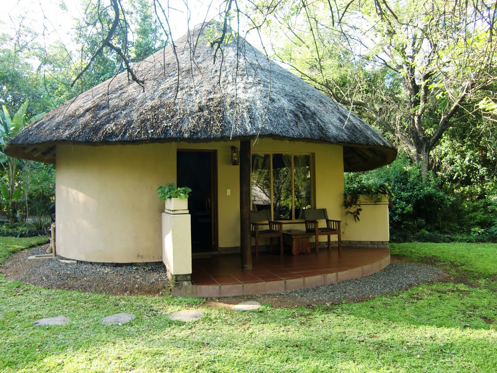
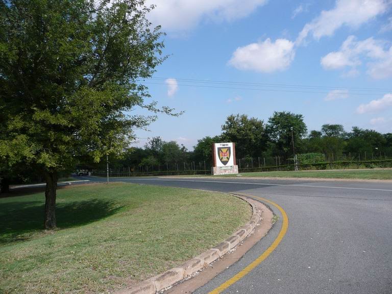
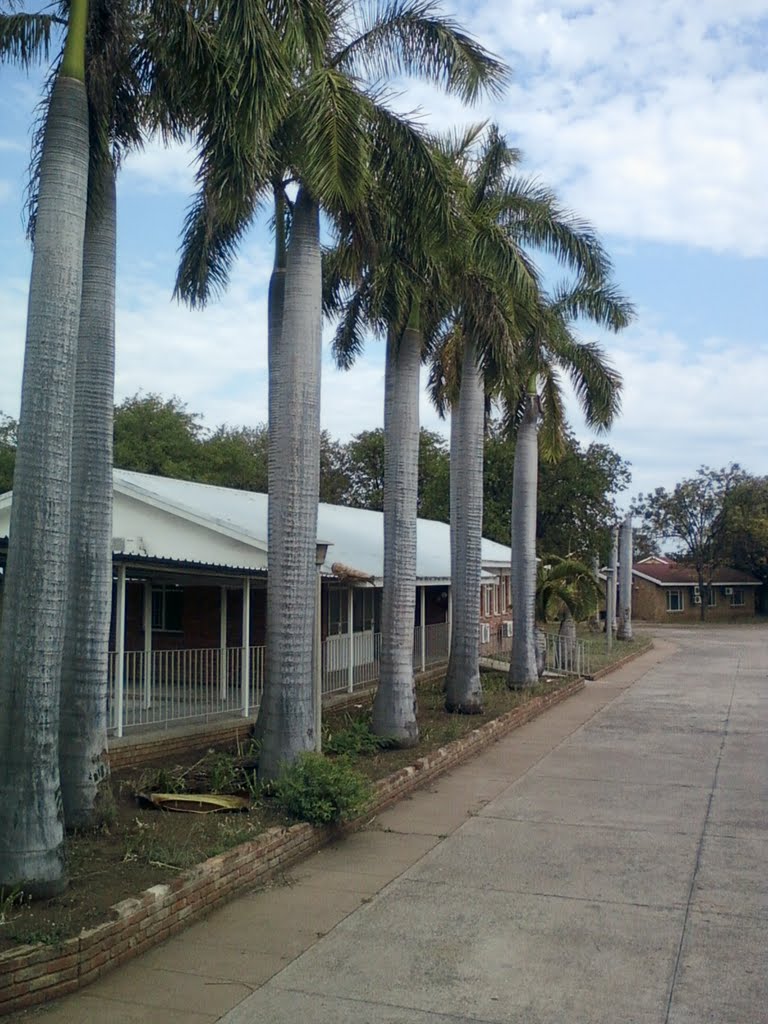
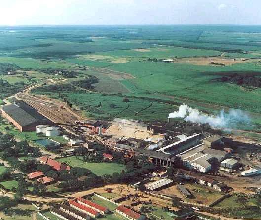
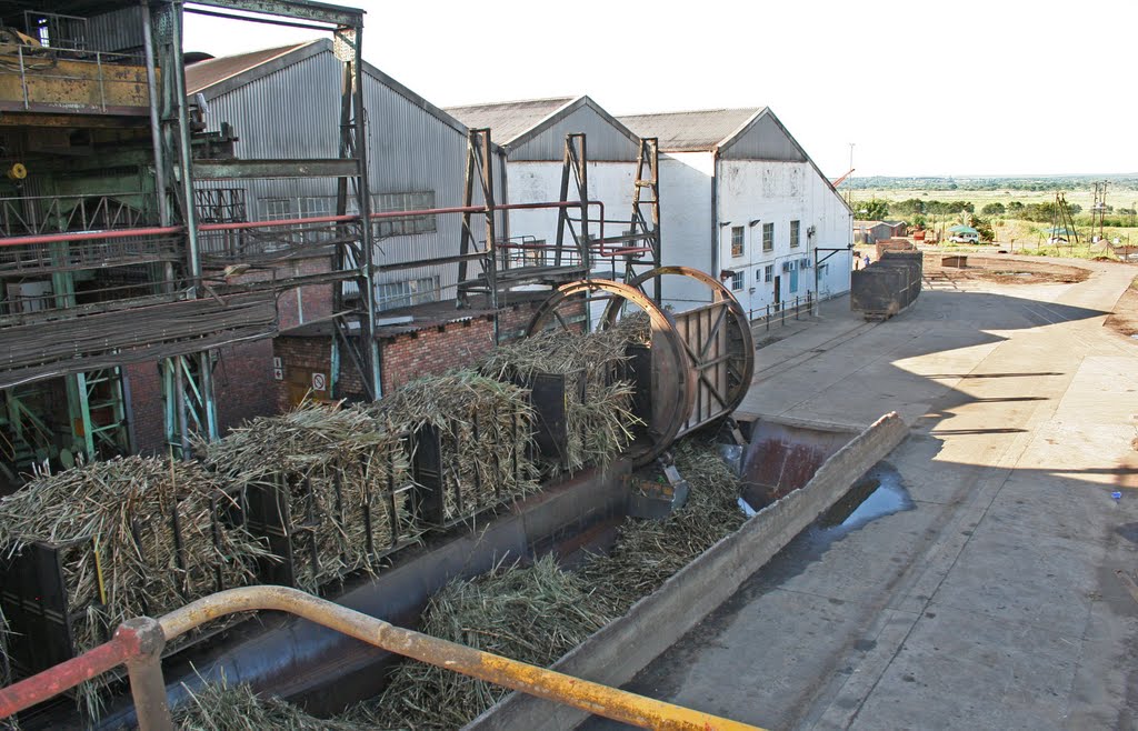
Photos of Phalaborwa
Phalaborwa Weather

Predicción: Clear sky
Temperatura: 19.5°
Humedad: 68%
Hora actual: 03:54 AM
Amanece: 06:11 AM
Anochece: 05:37 PM
Mtubatuba, South Africa
Latitude: -28.4059 // Longitude: 32.2143
Photos of Mtubatuba
Mtubatuba Weather

Predicción: Clear sky
Temperatura: 18.1°
Humedad: 95%
Hora actual: 03:54 AM
Amanece: 06:11 AM
Anochece: 05:28 PM


