
Distance between  Richmond and
  Plettenberg Bay
497.10 mi Straight Distance
642.01 mi Driving Distance
12 hours 13 mins Estimated Driving Time
The straight distance between Richmond (KwaZulu-Natal) and Plettenberg Bay (Western Cape) is 497.10 mi, but the driving distance is 642.01 mi.
It takes to go from Richmond to Plettenberg Bay.
Driving directions from Richmond to Plettenberg Bay
Distance in kilometers
Straight distance: 799.83 km. Route distance: 1,033.00 km
Richmond, South Africa
Latitude: -29.8748 // Longitude: 30.2774
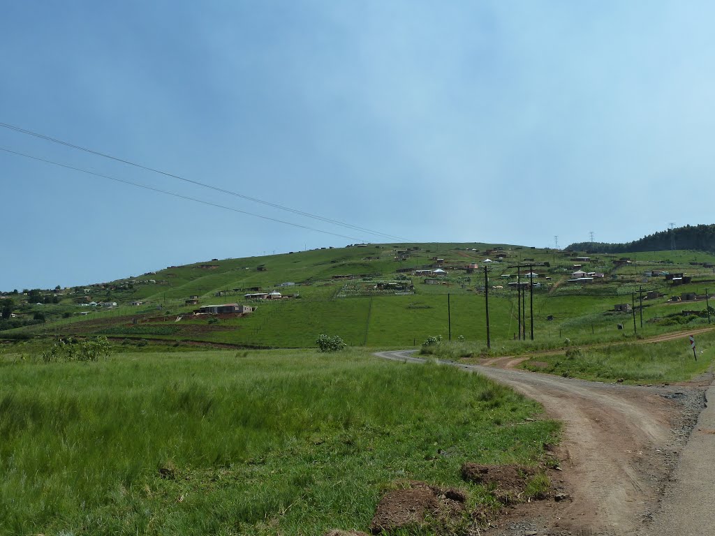
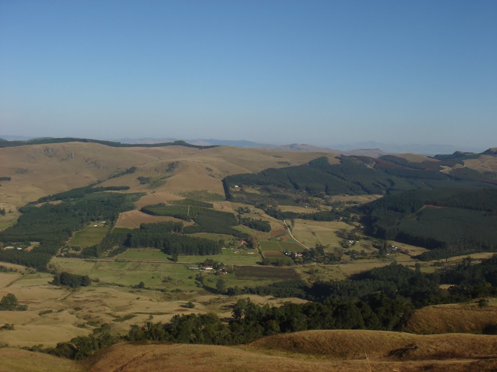
Photos of Richmond


Richmond Weather

Predicción: Clear sky
Temperatura: 15.8°
Humedad: 88%
Hora actual: 08:58 PM
Amanece: 06:20 AM
Anochece: 05:35 PM
Plettenberg Bay, South Africa
Latitude: -34.05 // Longitude: 23.3667
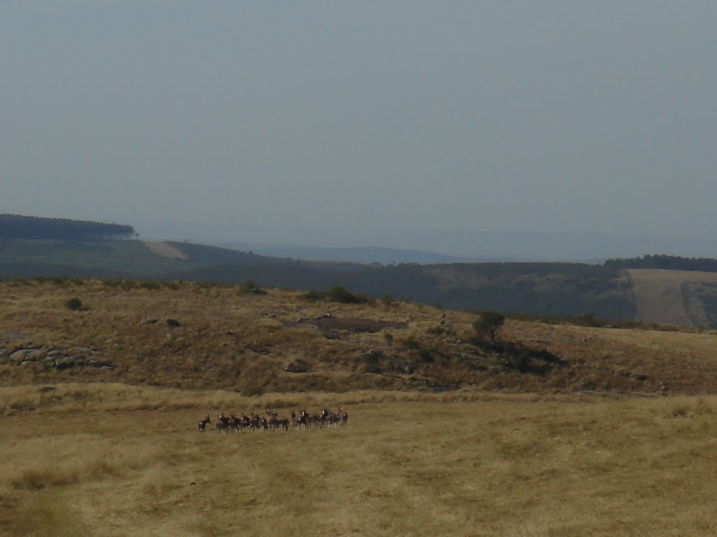
Photos of Plettenberg Bay


Plettenberg Bay Weather

Predicción: Overcast clouds
Temperatura: 16.5°
Humedad: 93%
Hora actual: 08:58 PM
Amanece: 06:52 AM
Anochece: 05:59 PM


