Distance between  Secunda and
  Port Edward
319.22 mi Straight Distance
427.22 mi Driving Distance
7 hours 28 mins Estimated Driving Time
The straight distance between Secunda (Mpumalanga) and Port Edward (KwaZulu-Natal) is 319.22 mi, but the driving distance is 427.22 mi.
It takes 7 hours 3 mins to go from Secunda to Port Edward.
Driving directions from Secunda to Port Edward
Distance in kilometers
Straight distance: 513.62 km. Route distance: 687.40 km
Secunda, South Africa
Latitude: -26.5161 // Longitude: 29.2028
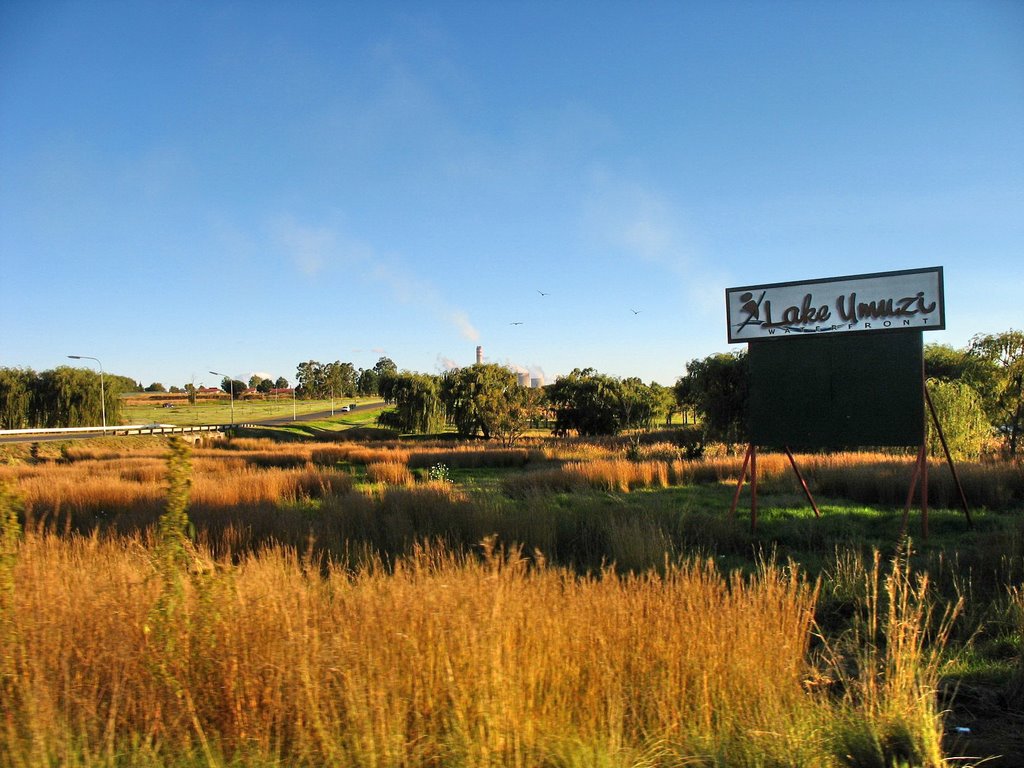
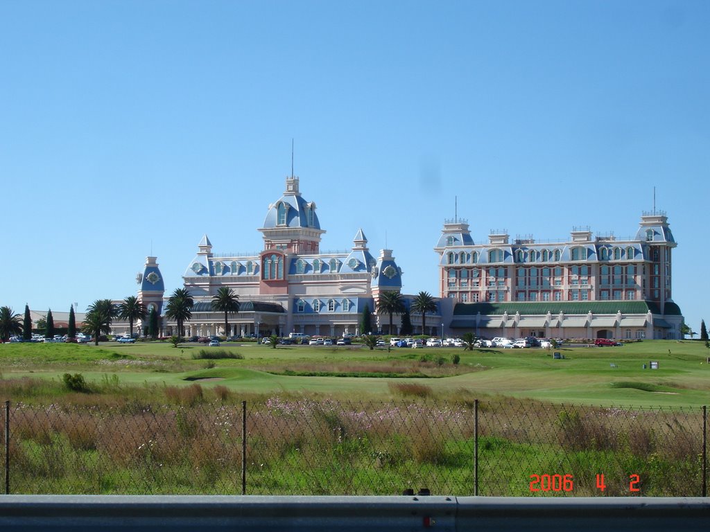
Photos of Secunda
Secunda Weather

Predicción: Clear sky
Temperatura: 8.9°
Humedad: 94%
Hora actual: 03:05 AM
Amanece: 06:21 AM
Anochece: 05:42 PM
Port Edward, South Africa
Latitude: -31.05 // Longitude: 30.2167
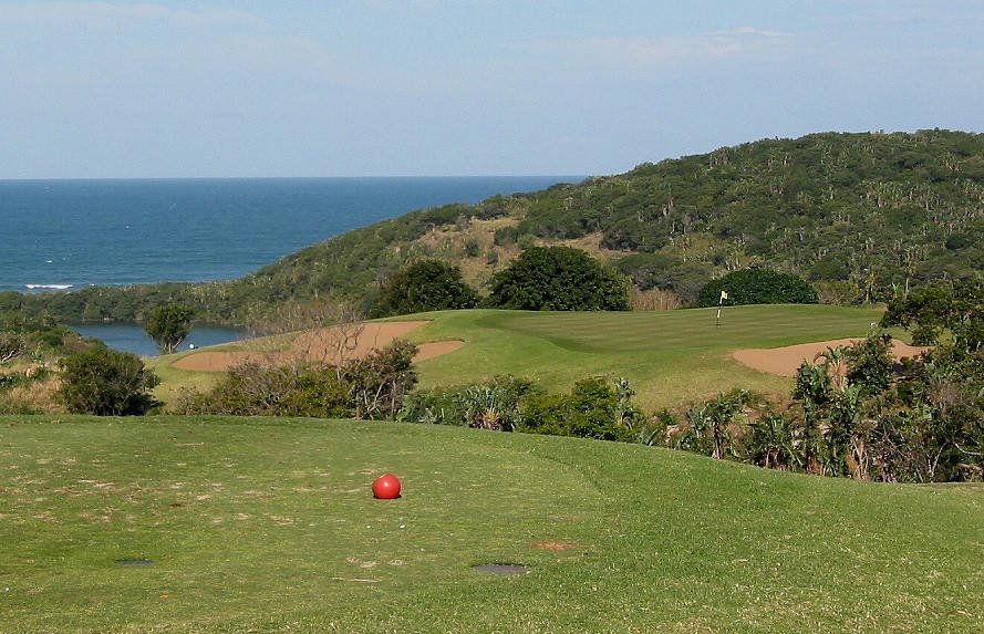
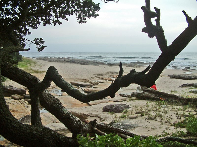
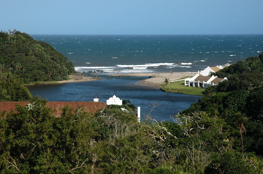
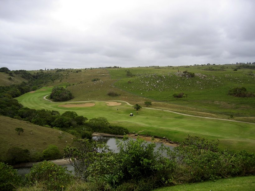
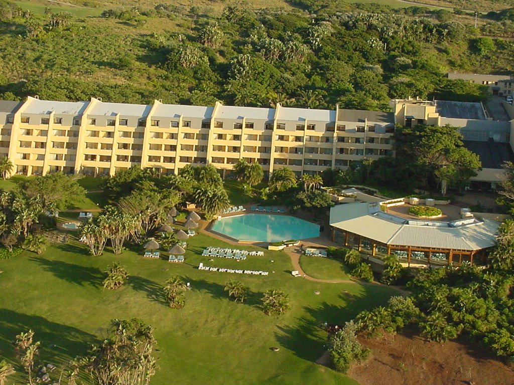
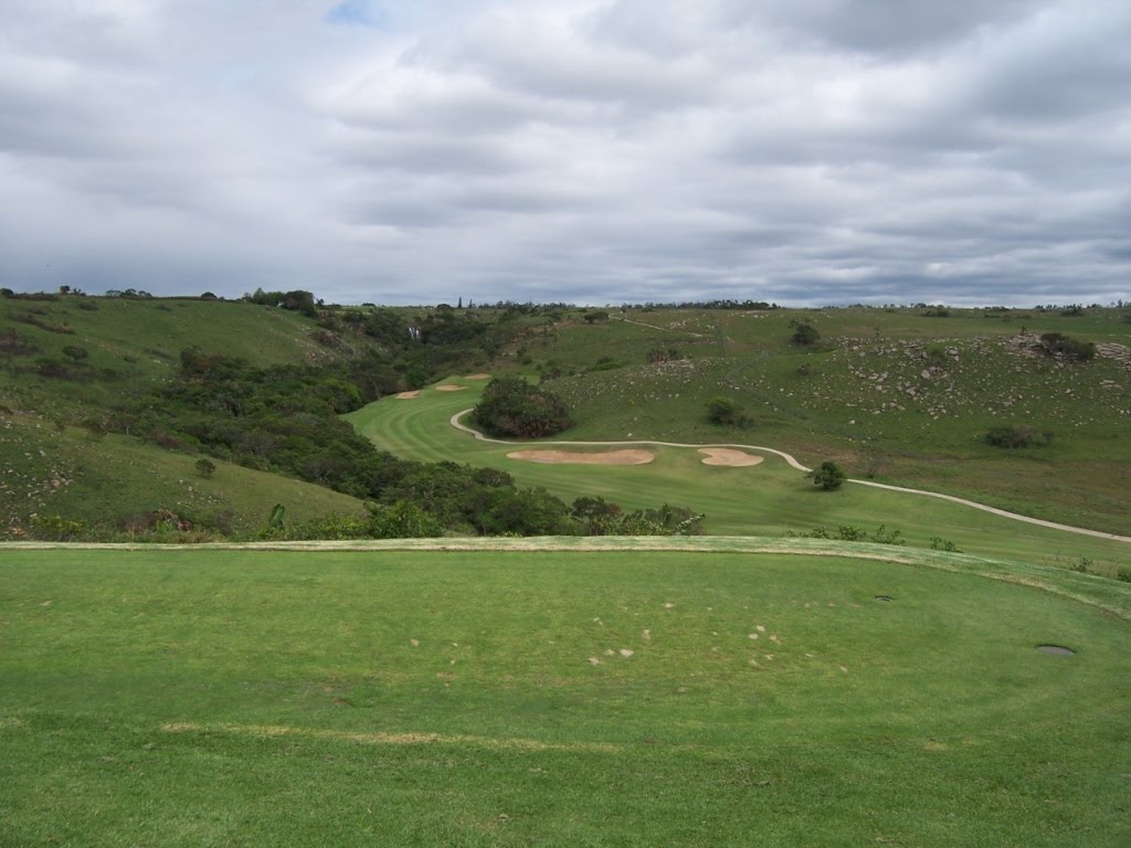
Photos of Port Edward
Port Edward Weather

Predicción: Few clouds
Temperatura: 20.5°
Humedad: 82%
Hora actual: 03:05 AM
Amanece: 06:22 AM
Anochece: 05:33 PM


