Distance between  St Francis Bay and
  Sabie
Sabie
721.52 mi Straight Distance
954.51 mi Driving Distance
15 hours 15 mins Estimated Driving Time
The straight distance between St Francis Bay (Eastern Cape) and Sabie (Mpumalanga) is 721.52 mi, but the driving distance is 954.51 mi.
It takes to go from St Francis Bay to Sabie.
Driving directions from St Francis Bay to Sabie
Distance in kilometers
Straight distance: 1,160.93 km. Route distance: 1,535.80 km
St Francis Bay, South Africa
Latitude: -34.1605 // Longitude: 24.8241
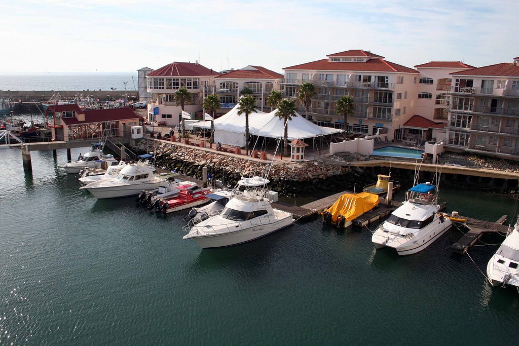
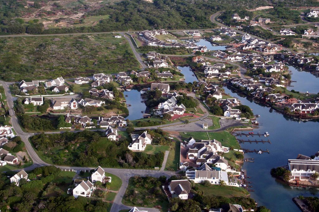
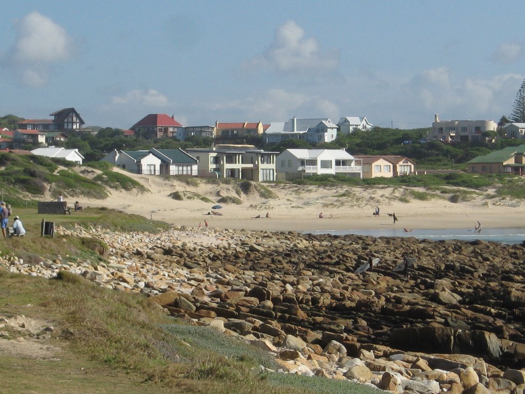
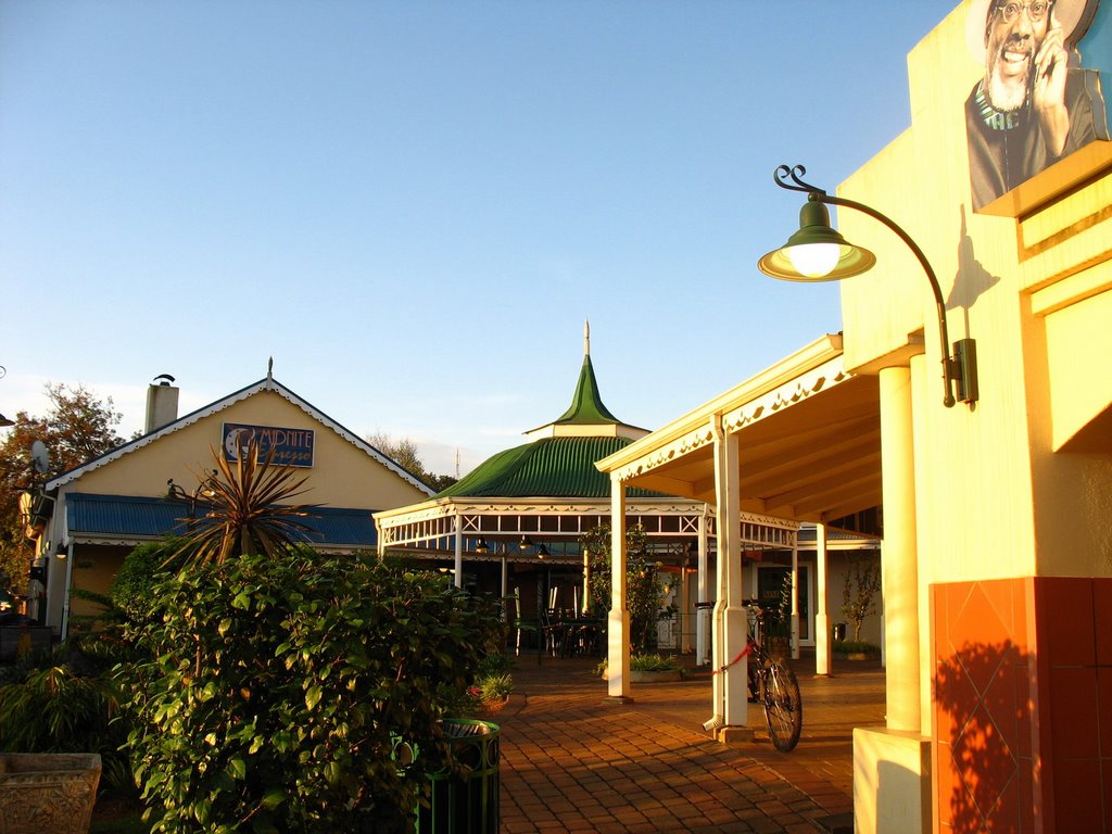
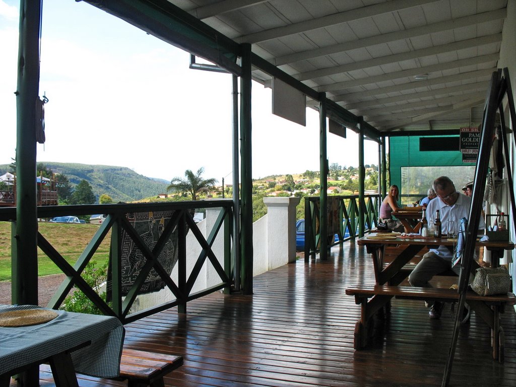
Photos of St Francis Bay
St Francis Bay Weather

Predicción: Scattered clouds
Temperatura: 16.3°
Humedad: 88%
Hora actual: 12:00 AM
Amanece: 04:46 AM
Anochece: 03:53 PM
Sabie, South Africa
Latitude: -25.0863 // Longitude: 30.7823
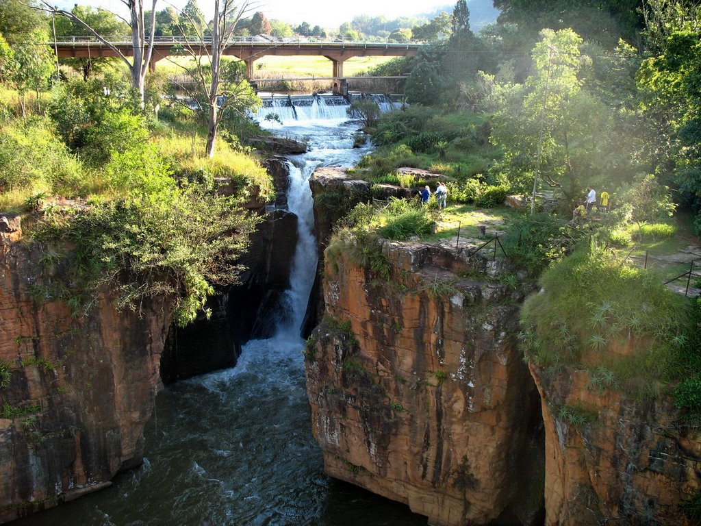
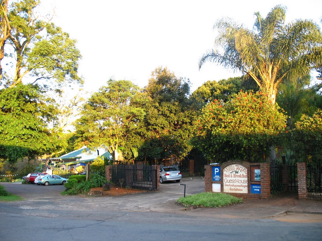
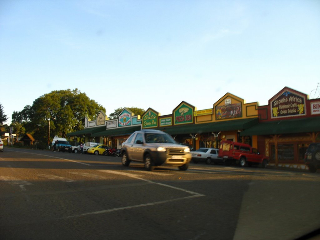
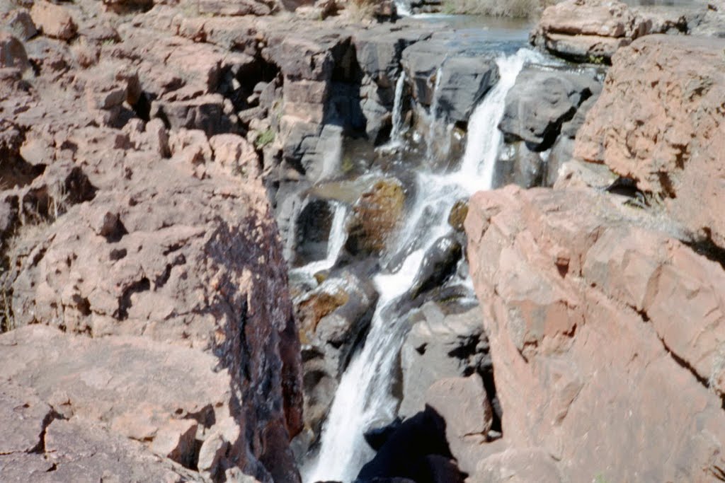
Photos of Sabie
Sabie Weather

Predicción: Few clouds
Temperatura: 14.9°
Humedad: 90%
Hora actual: 12:00 AM
Amanece: 04:13 AM
Anochece: 03:38 PM


