Distance between  Standerton and
  Rouxville
280.81 mi Straight Distance
433.18 mi Driving Distance
6 hours 42 mins Estimated Driving Time
The straight distance between Standerton (Mpumalanga) and Rouxville (Free State) is 280.81 mi, but the driving distance is 433.18 mi.
It takes 6 hours 11 mins to go from Standerton to Rouxville.
Driving directions from Standerton to Rouxville
Distance in kilometers
Straight distance: 451.82 km. Route distance: 696.98 km
Standerton, South Africa
Latitude: -26.9473 // Longitude: 29.2469
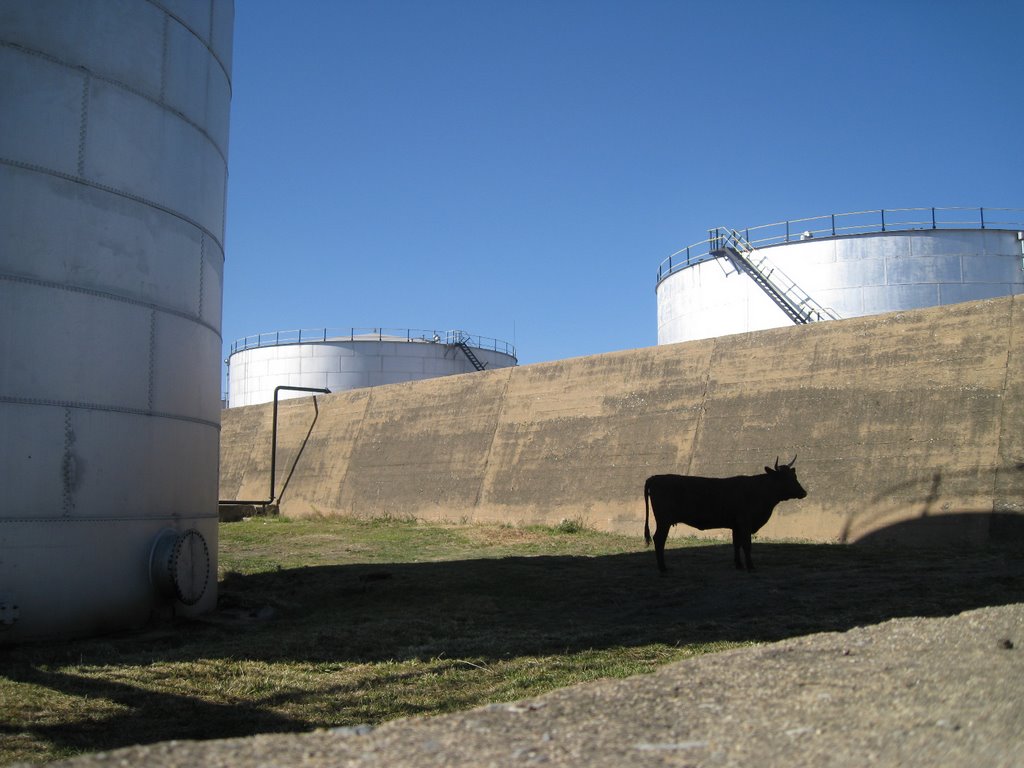
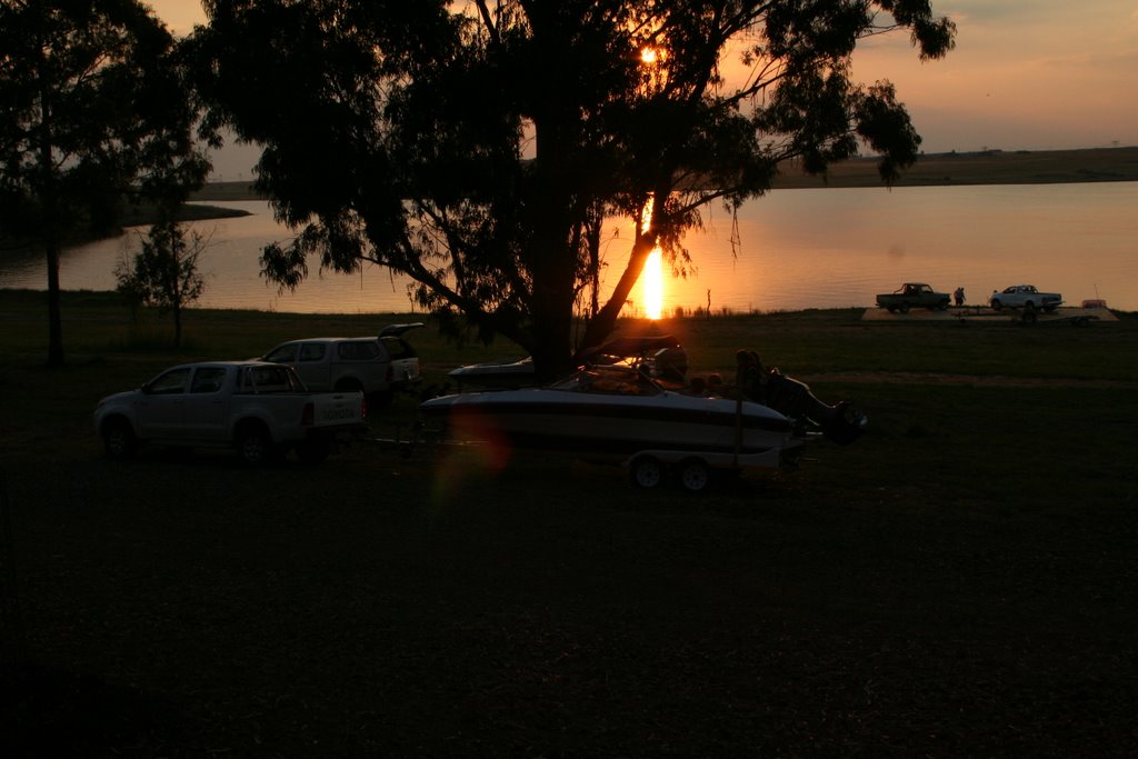
Photos of Standerton
Standerton Weather

Predicción: Clear sky
Temperatura: 17.7°
Humedad: 52%
Hora actual: 07:06 PM
Amanece: 06:21 AM
Anochece: 05:42 PM
Rouxville, South Africa
Latitude: -30.4167 // Longitude: 26.8333
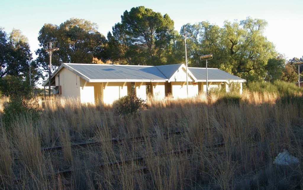
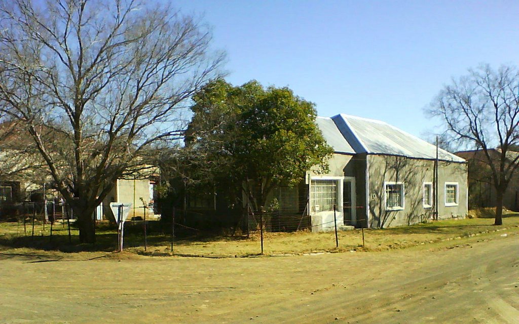
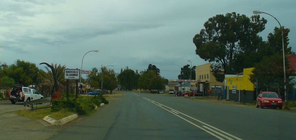
Photos of Rouxville
Rouxville Weather

Predicción: Few clouds
Temperatura: 16.2°
Humedad: 57%
Hora actual: 02:00 AM
Amanece: 06:34 AM
Anochece: 05:49 PM


