Distance between  Swellendam and
  St Lucia
807.56 mi Straight Distance
1,123.15 mi Driving Distance
18 hours 12 mins Estimated Driving Time
The straight distance between Swellendam (Western Cape) and St Lucia (KwaZulu-Natal) is 807.56 mi, but the driving distance is 1,123.15 mi.
It takes to go from Swellendam to St Lucia.
Driving directions from Swellendam to St Lucia
Distance in kilometers
Straight distance: 1,299.36 km. Route distance: 1,807.15 km
Swellendam, South Africa
Latitude: -34.0167 // Longitude: 20.4333
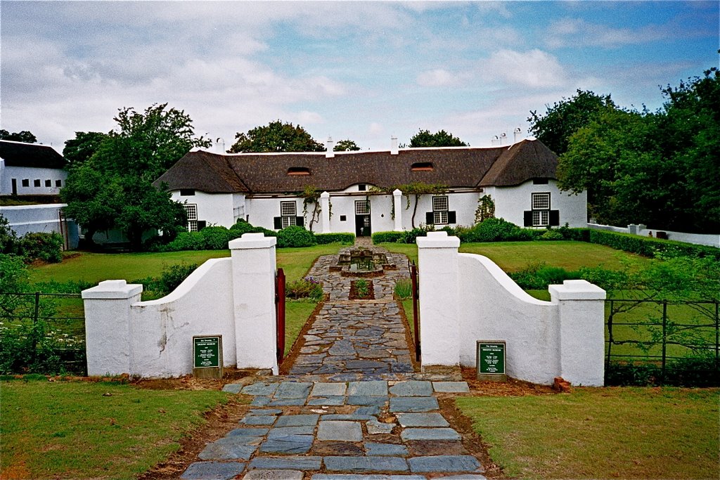
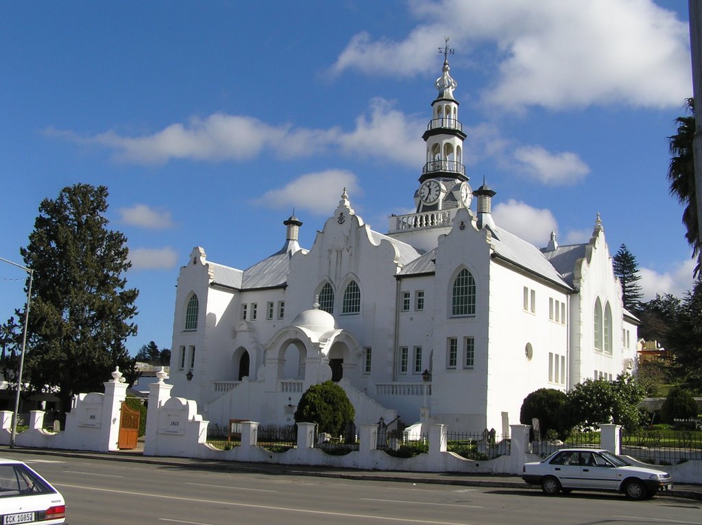
Photos of Swellendam
Swellendam Weather

Predicción: Clear sky
Temperatura: 23.7°
Humedad: 54%
Hora actual: 11:24 AM
Amanece: 07:02 AM
Anochece: 06:13 PM
St Lucia, South Africa
Latitude: -28.3726 // Longitude: 32.4142
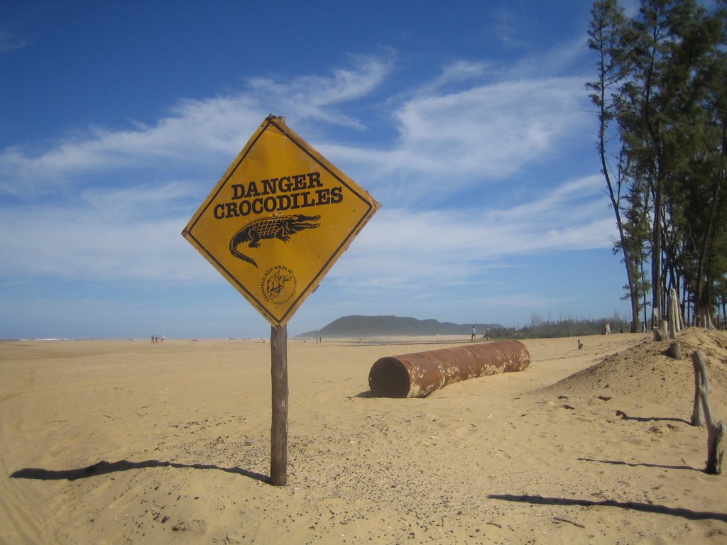
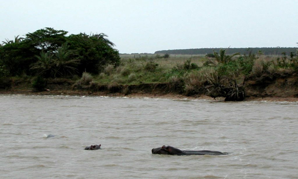
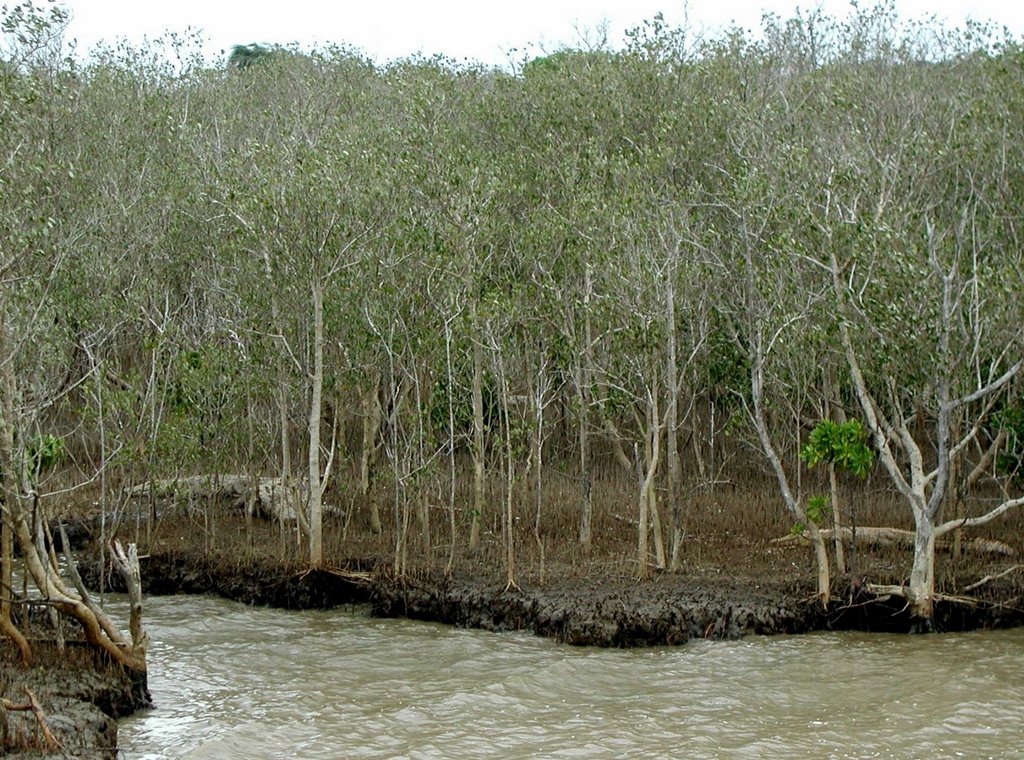
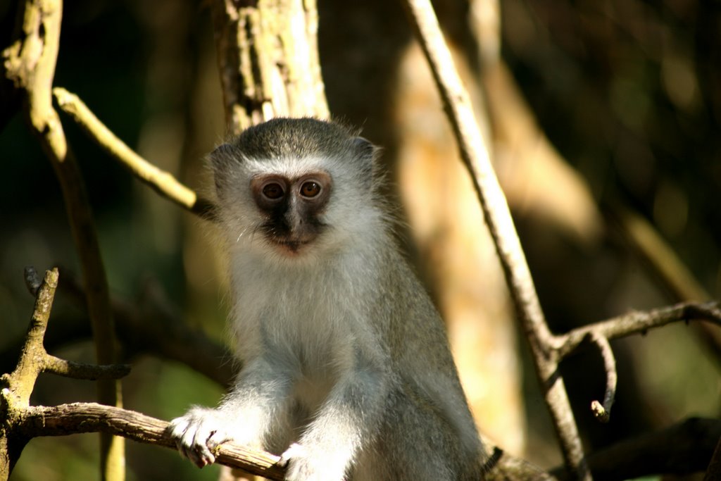
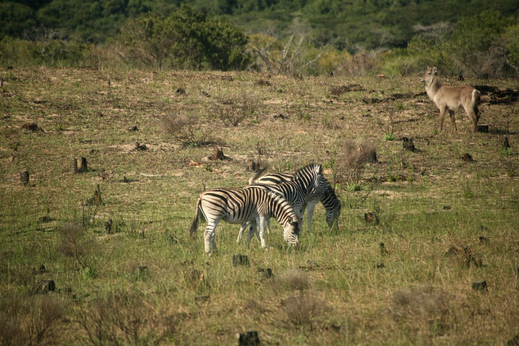
Photos of St Lucia
St Lucia Weather

Predicción: Light rain
Temperatura: 24.5°
Humedad: 66%
Hora actual: 11:24 AM
Amanece: 06:09 AM
Anochece: 05:30 PM


