Distance between  Swinburne and
  Steynsburg
290.73 mi Straight Distance
404.20 mi Driving Distance
7 hours 13 mins Estimated Driving Time
The straight distance between Swinburne (Free State) and Steynsburg (Eastern Cape) is 290.73 mi, but the driving distance is 404.20 mi.
It takes 6 hours 11 mins to go from Swinburne to Steynsburg.
Driving directions from Swinburne to Steynsburg
Distance in kilometers
Straight distance: 467.78 km. Route distance: 650.36 km
Swinburne, South Africa
Latitude: -28.35 // Longitude: 29.283
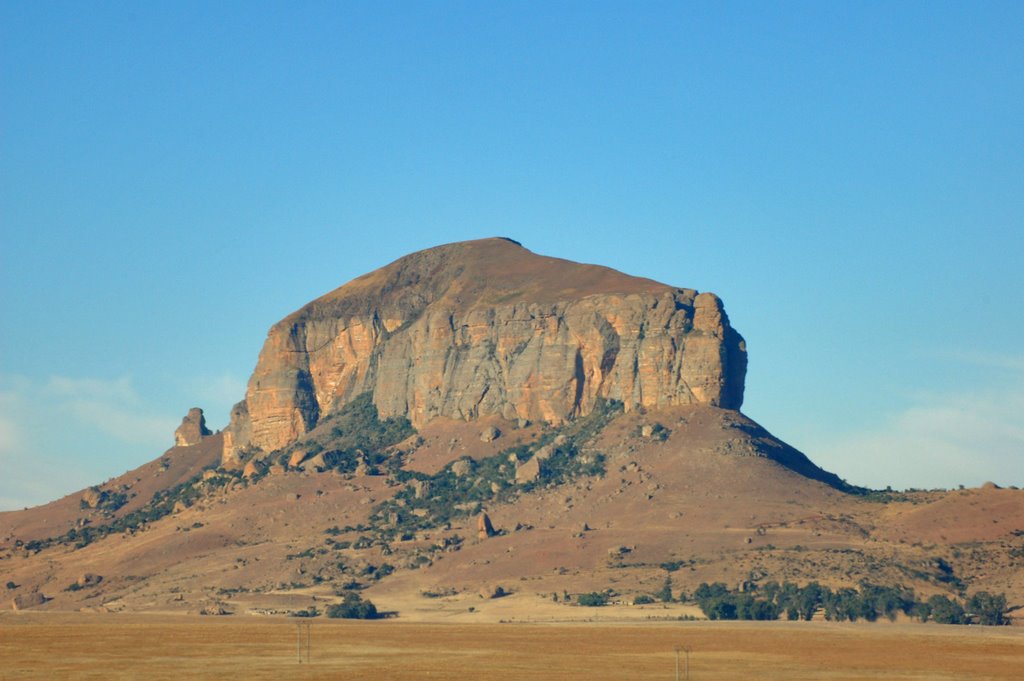
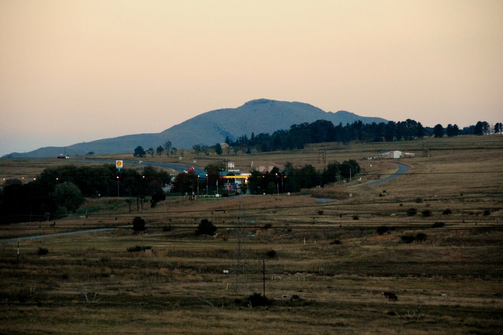
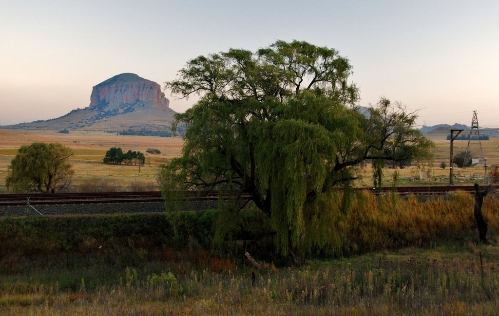
Photos of Swinburne
Swinburne Weather

Predicción: Clear sky
Temperatura: 10.5°
Humedad: 76%
Hora actual: 12:00 AM
Amanece: 04:23 AM
Anochece: 03:40 PM
Steynsburg, South Africa
Latitude: -31.2991 // Longitude: 25.8226
Photos of Steynsburg
Steynsburg Weather

Predicción: Clear sky
Temperatura: 14.8°
Humedad: 63%
Hora actual: 12:00 AM
Amanece: 04:40 AM
Anochece: 03:51 PM


