Distance between  Trompsburg and
  Port Shepstone
283.19 mi Straight Distance
525.63 mi Driving Distance
8 hours 20 mins Estimated Driving Time
The straight distance between Trompsburg (Free State) and Port Shepstone (KwaZulu-Natal) is 283.19 mi, but the driving distance is 525.63 mi.
It takes to go from Trompsburg to Port Shepstone.
Driving directions from Trompsburg to Port Shepstone
Distance in kilometers
Straight distance: 455.65 km. Route distance: 845.73 km
Trompsburg, South Africa
Latitude: -30.0336 // Longitude: 25.7797
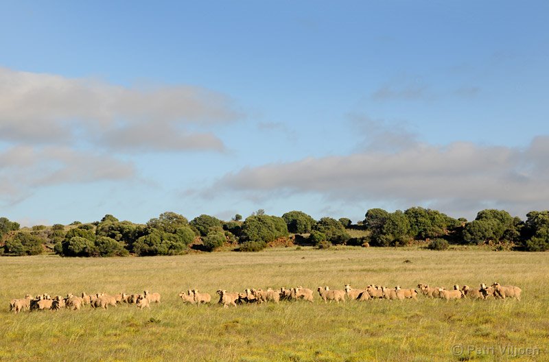
Photos of Trompsburg
Trompsburg Weather

Predicción: Scattered clouds
Temperatura: 13.5°
Humedad: 66%
Hora actual: 01:59 AM
Amanece: 06:37 AM
Anochece: 05:54 PM
Port Shepstone, South Africa
Latitude: -30.7215 // Longitude: 30.4636
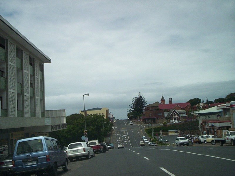
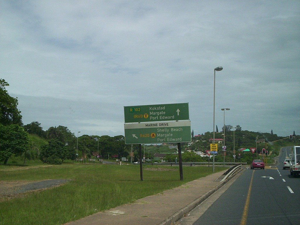
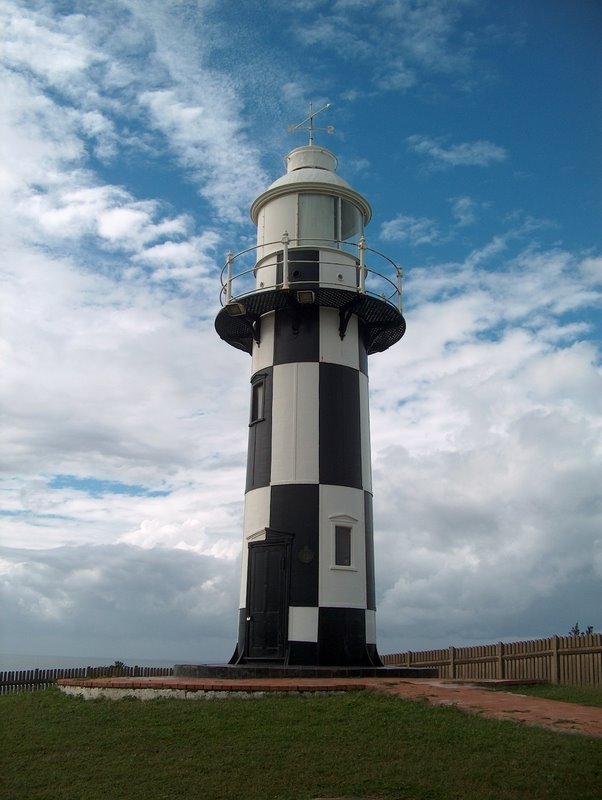
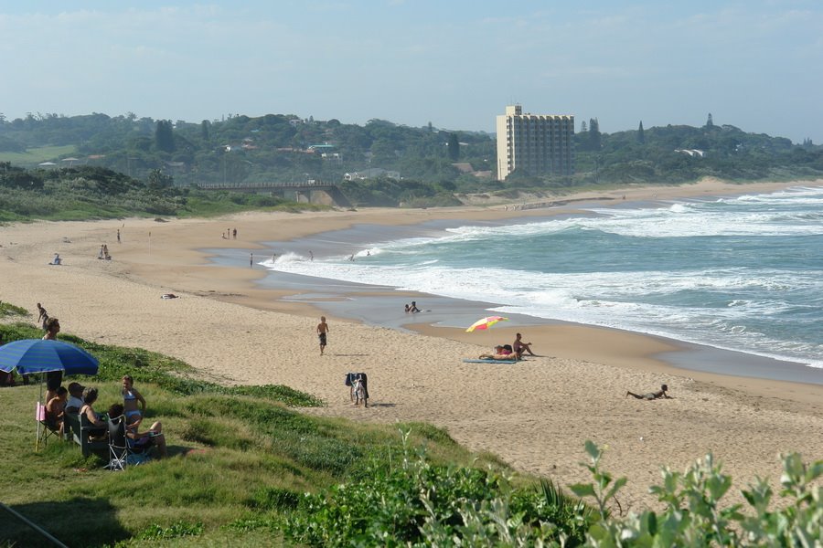
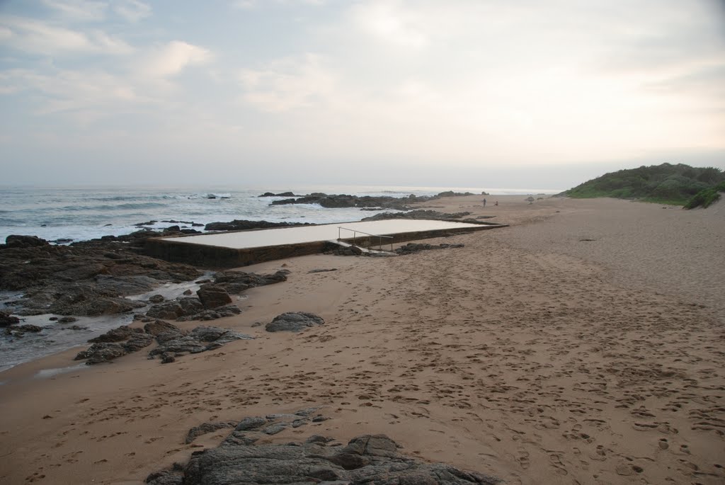
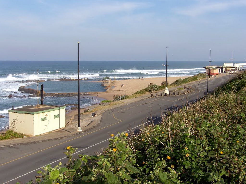
Photos of Port Shepstone
Port Shepstone Weather

Predicción: Scattered clouds
Temperatura: 20.9°
Humedad: 83%
Hora actual: 01:59 AM
Amanece: 06:19 AM
Anochece: 05:35 PM


