
Distance between  Umgababa and
  Sasolburg
292.29 mi Straight Distance
349.54 mi Driving Distance
6 hours 20 mins Estimated Driving Time
The straight distance between Umgababa (KwaZulu-Natal) and Sasolburg (Free State) is 292.29 mi, but the driving distance is 349.54 mi.
It takes to go from Umgababa to Sasolburg.
Driving directions from Umgababa to Sasolburg
Distance in kilometers
Straight distance: 470.30 km. Route distance: 562.41 km
Umgababa, South Africa
Latitude: -30.1333 // Longitude: 30.8327
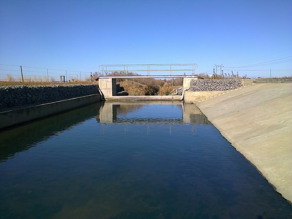
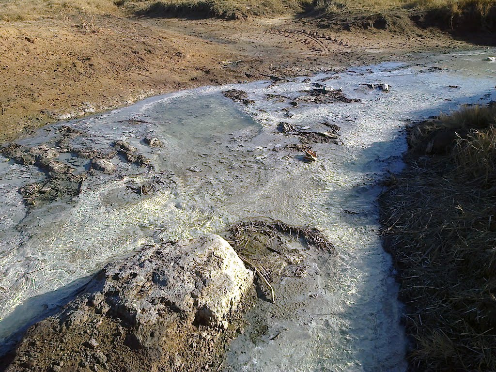
Photos of Umgababa


Umgababa Weather

Predicción: Clear sky
Temperatura: 21.7°
Humedad: 73%
Hora actual: 11:26 PM
Amanece: 06:18 AM
Anochece: 05:33 PM
Sasolburg, South Africa
Latitude: -26.8193 // Longitude: 27.8406
Photos of Sasolburg


Sasolburg Weather

Predicción: Few clouds
Temperatura: 14.9°
Humedad: 56%
Hora actual: 11:26 PM
Amanece: 06:26 AM
Anochece: 05:48 PM


