
Distance between  Umkomaas and
  Somerset East
352.30 mi Straight Distance
506.61 mi Driving Distance
10 hours 29 mins Estimated Driving Time
The straight distance between Umkomaas (KwaZulu-Natal) and Somerset East (Eastern Cape) is 352.30 mi, but the driving distance is 506.61 mi.
It takes to go from Umkomaas to Somerset East.
Driving directions from Umkomaas to Somerset East
Distance in kilometers
Straight distance: 566.85 km. Route distance: 815.13 km
Umkomaas, South Africa
Latitude: -30.2007 // Longitude: 30.7838
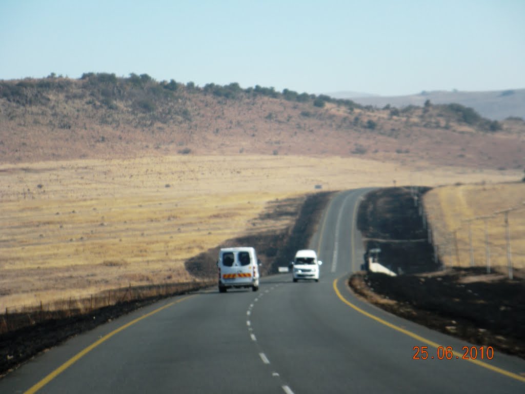
Photos of Umkomaas


Umkomaas Weather

Predicción: Clear sky
Temperatura: 20.8°
Humedad: 74%
Hora actual: 01:23 AM
Amanece: 06:19 AM
Anochece: 05:32 PM
Somerset East, South Africa
Latitude: -32.7167 // Longitude: 25.5833
Photos of Somerset East


Somerset East Weather
Predicción: Clear sky
Temperatura: 17.1°
Humedad: 86%
Hora actual: 01:23 AM
Amanece: 06:42 AM
Anochece: 05:50 PM


