
Distance between  Wepener and
  Umkomaas
226.27 mi Straight Distance
477.13 mi Driving Distance
7 hours 45 mins Estimated Driving Time
The straight distance between Wepener (Free State) and Umkomaas (KwaZulu-Natal) is 226.27 mi, but the driving distance is 477.13 mi.
It takes to go from Wepener to Umkomaas.
Driving directions from Wepener to Umkomaas
Distance in kilometers
Straight distance: 364.08 km. Route distance: 767.71 km
Wepener, South Africa
Latitude: -29.734 // Longitude: 27.0419
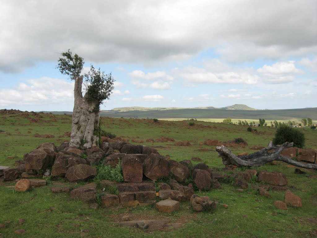
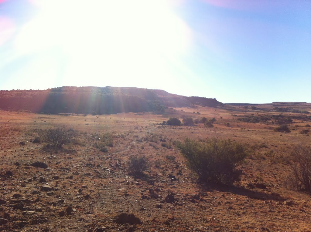
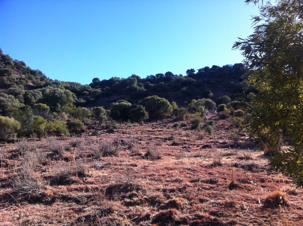
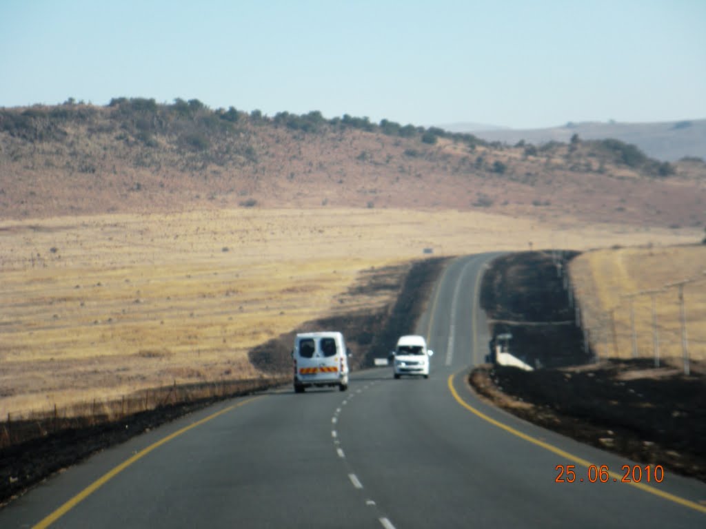
Photos of Wepener


Wepener Weather

Predicción: Few clouds
Temperatura: 13.9°
Humedad: 67%
Hora actual: 12:00 AM
Amanece: 04:33 AM
Anochece: 03:48 PM
Umkomaas, South Africa
Latitude: -30.2007 // Longitude: 30.7838
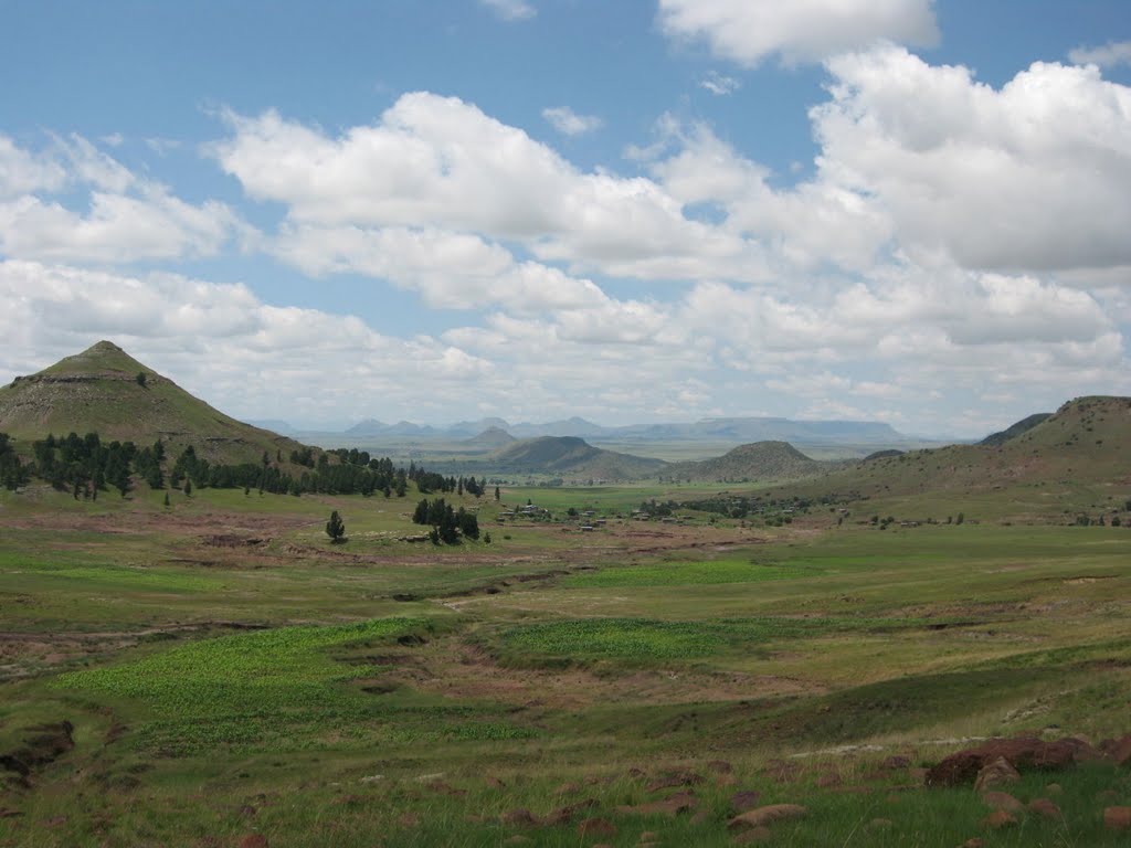
Photos of Umkomaas


Umkomaas Weather

Predicción: Clear sky
Temperatura: 20.8°
Humedad: 74%
Hora actual: 12:41 AM
Amanece: 06:19 AM
Anochece: 05:32 PM


