
Distance between  Bedford and
  Thokoza
454.19 mi Straight Distance
560.90 mi Driving Distance
10 hours 5 mins Estimated Driving Time
The straight distance between Bedford (Eastern Cape) and Thokoza (Gauteng) is 454.19 mi, but the driving distance is 560.90 mi.
It takes 10 hours 5 mins to go from Bedford to Thokoza.
Driving directions from Bedford to Thokoza
Distance in kilometers
Straight distance: 730.80 km. Route distance: 902.49 km
Bedford, South Africa
Latitude: -32.6833 // Longitude: 26.0833
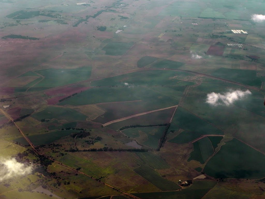
Photos of Bedford


Bedford Weather

Forecast: Clear sky
Temperature: 18.5°
Humidity: 95%
Current time: 04:10 AM
Sunrise: 06:08 AM
Sunset: 06:45 PM
Thokoza, South Africa
Latitude: -26.3557 // Longitude: 28.1327
Photos of Thokoza


Thokoza Weather

Forecast: Moderate rain
Temperature: 18.0°
Humidity: 96%
Current time: 04:10 AM
Sunrise: 06:03 AM
Sunset: 06:33 PM


