
Distance between  Belfast and
  Ermelo
57.97 mi Straight Distance
69.96 mi Driving Distance
1 hour 44 mins Estimated Driving Time
The straight distance between Belfast (Mpumalanga) and Ermelo (Mpumalanga) is 57.97 mi, but the driving distance is 69.96 mi.
It takes to go from Belfast to Ermelo.
Driving directions from Belfast to Ermelo
Distance in kilometers
Straight distance: 93.28 km. Route distance: 112.57 km
Belfast, South Africa
Latitude: -25.6802 // Longitude: 30.0353
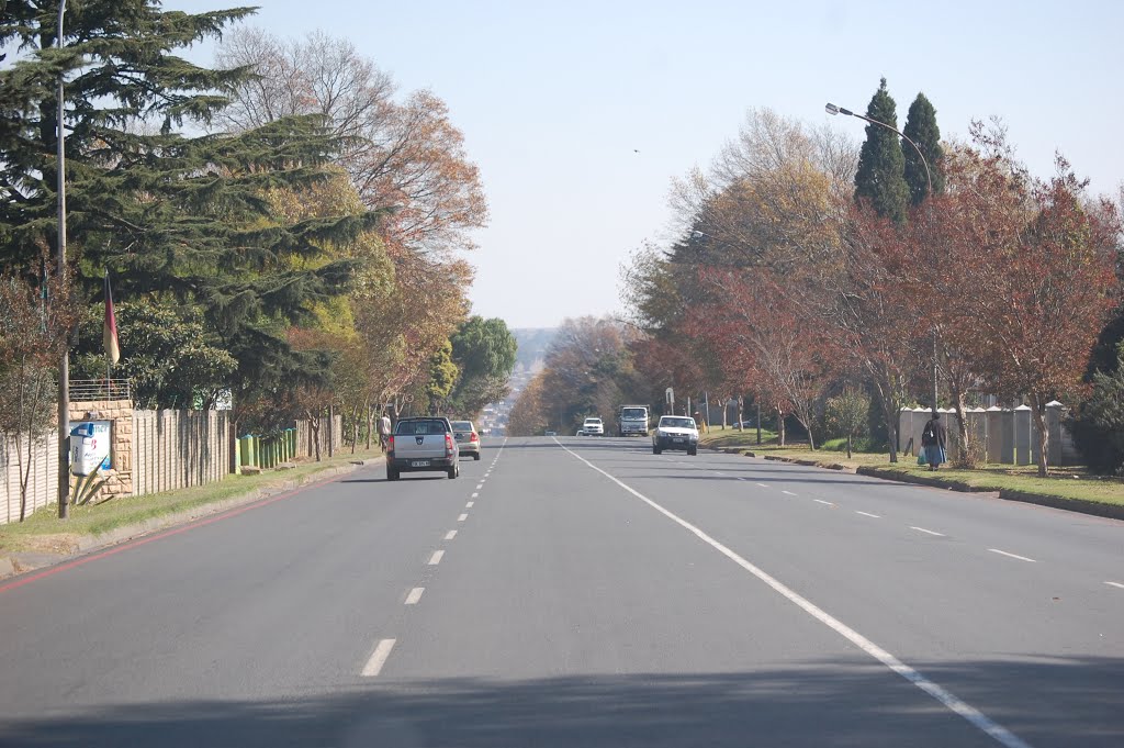
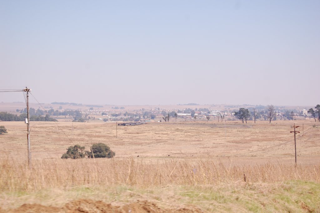
Photos of Belfast


Belfast Weather

Forecast: Overcast clouds
Temperature: 12.6°
Humidity: 94%
Current time: 08:18 AM
Sunrise: 05:53 AM
Sunset: 06:29 PM
Ermelo, South Africa
Latitude: -26.518 // Longitude: 29.984
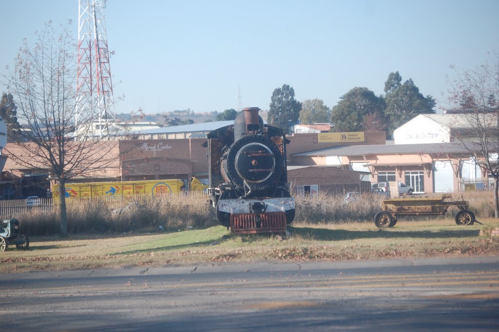
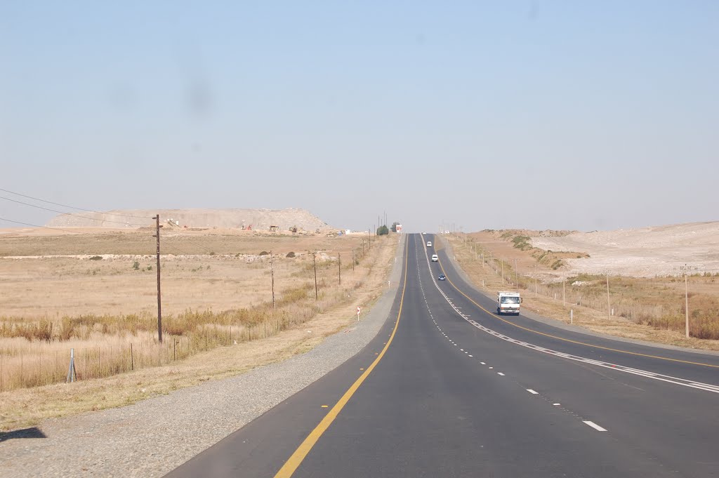
Photos of Ermelo
![Ermelo - Biblioteca [feb 10]](/photos/32604333.jpg "Ermelo - Biblioteca [feb 10]")


Ermelo Weather
Forecast: Overcast clouds
Temperature: 12.2°
Humidity: 97%
Current time: 08:18 AM
Sunrise: 05:53 AM
Sunset: 06:30 PM


