
Distance between  Bergplaas and
  Thaba Nchu
405.99 mi Straight Distance
544.31 mi Driving Distance
10 hours 38 mins Estimated Driving Time
The straight distance between Bergplaas (Western Cape) and Thaba Nchu (Free State) is 405.99 mi, but the driving distance is 544.31 mi.
It takes to go from Bergplaas to Thaba Nchu.
Driving directions from Bergplaas to Thaba Nchu
Distance in kilometers
Straight distance: 653.23 km. Route distance: 875.79 km
Bergplaas, South Africa
Latitude: -33.8833 // Longitude: 22.6667
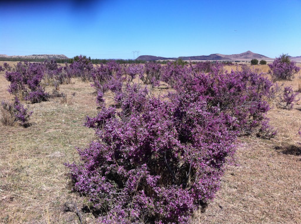
Photos of Bergplaas


Bergplaas Weather

Forecast: Few clouds
Temperature: 21.5°
Humidity: 70%
Current time: 12:00 AM
Sunrise: 04:09 AM
Sunset: 05:15 PM
Thaba Nchu, South Africa
Latitude: -29.2 // Longitude: 26.8333
Photos of Thaba Nchu


Thaba Nchu Weather

Forecast: Broken clouds
Temperature: 15.1°
Humidity: 94%
Current time: 11:08 PM
Sunrise: 05:58 AM
Sunset: 06:54 PM


