
Distance between  Besters and
  Barrydale
649.17 mi Straight Distance
806.84 mi Driving Distance
14 hours 53 mins Estimated Driving Time
The straight distance between Besters (KwaZulu-Natal) and Barrydale (Western Cape) is 649.17 mi, but the driving distance is 806.84 mi.
It takes 13 hours 15 mins to go from Besters to Barrydale.
Driving directions from Besters to Barrydale
Distance in kilometers
Straight distance: 1,044.51 km. Route distance: 1,298.20 km
Besters, South Africa
Latitude: -28.4333 // Longitude: 29.65
Photos of Besters


Besters Weather

Forecast: Clear sky
Temperature: 18.0°
Humidity: 40%
Sun info not available
Barrydale, South Africa
Latitude: -33.9084 // Longitude: 20.7167
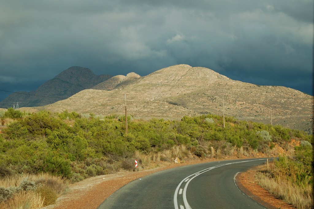
Photos of Barrydale


Barrydale Weather
Forecast: Clear sky
Temperature: 18.0°
Humidity: 40%
Current time: 06:06 PM
Sunrise: 06:30 AM
Sunset: 07:04 PM


