
Distance between  Bitterfontein and
  Richmond
719.52 mi Straight Distance
994.91 mi Driving Distance
19 hours 4 mins Estimated Driving Time
The straight distance between Bitterfontein (Western Cape) and Richmond (KwaZulu-Natal) is 719.52 mi, but the driving distance is 994.91 mi.
It takes to go from Bitterfontein to Richmond.
Driving directions from Bitterfontein to Richmond
Distance in kilometers
Straight distance: 1,157.71 km. Route distance: 1,600.81 km
Bitterfontein, South Africa
Latitude: -31.0361 // Longitude: 18.2661
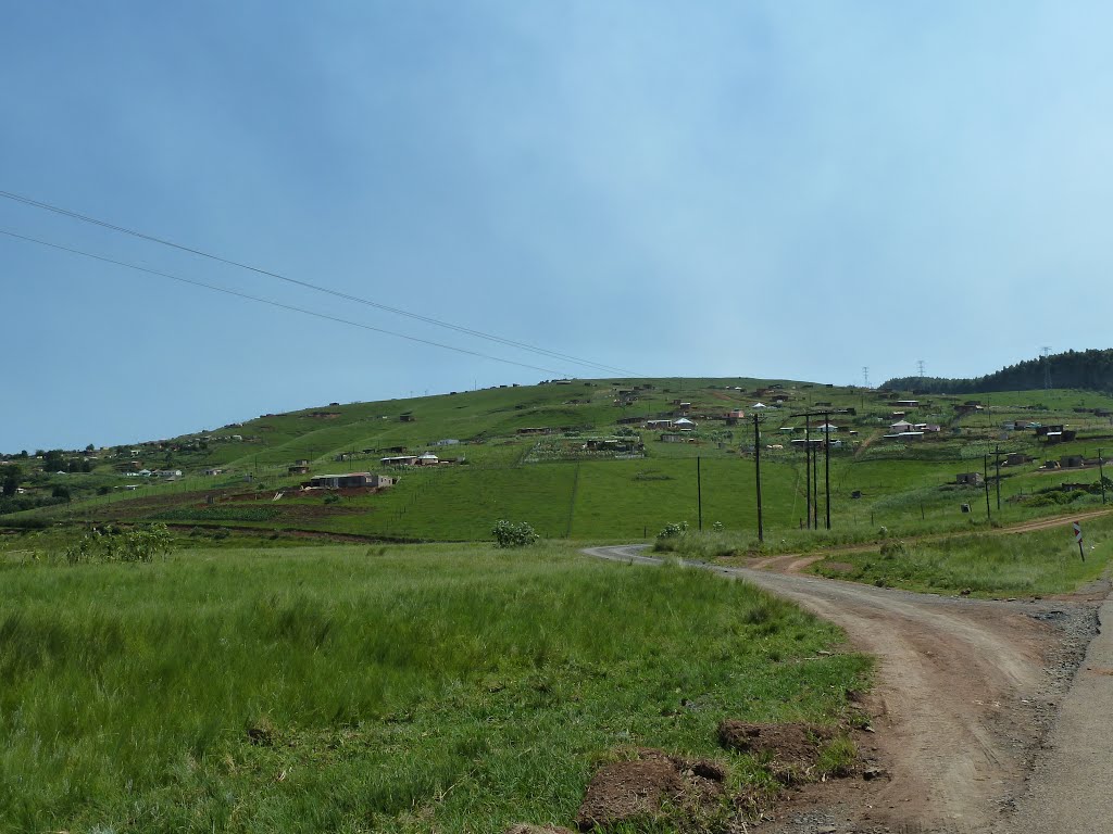
Photos of Bitterfontein


Bitterfontein Weather

Forecast: Clear sky
Temperature: 21.1°
Humidity: 63%
Current time: 12:00 AM
Sunrise: 04:33 AM
Sunset: 05:25 PM
Richmond, South Africa
Latitude: -29.8748 // Longitude: 30.2774
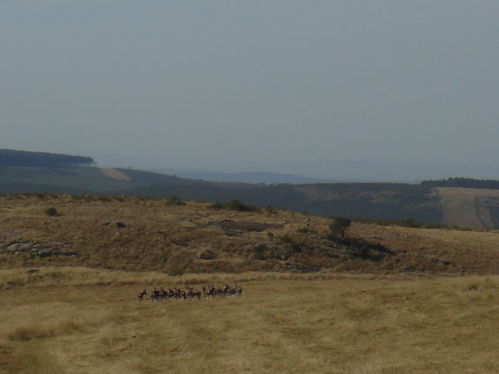
Photos of Richmond


Richmond Weather

Forecast: Few clouds
Temperature: 24.7°
Humidity: 60%
Current time: 01:19 AM
Sunrise: 05:47 AM
Sunset: 06:35 PM


