
Distance between  Bitterfontein and
  Thaba Nchu
527.34 mi Straight Distance
0 mi Driving Distance
0 seconds Estimated Driving Time
The straight distance between Bitterfontein (Western Cape) and Thaba Nchu (Free State) is 527.34 mi, but the driving distance is 0 mi.
It takes to go from Bitterfontein to Thaba Nchu.
Driving directions from Bitterfontein to Thaba Nchu
Distance in kilometers
Straight distance: 848.50 km. Route distance: 0.00 km
Bitterfontein, South Africa
Latitude: -31.0361 // Longitude: 18.2661
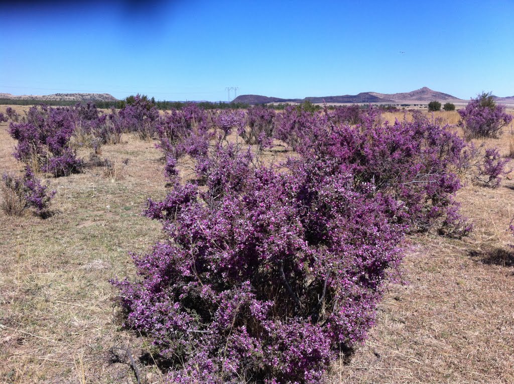
Photos of Bitterfontein


Bitterfontein Weather

Forecast: Clear sky
Temperature: 25.1°
Humidity: 22%
Current time: 12:00 AM
Sunrise: 04:25 AM
Sunset: 05:36 PM
Thaba Nchu, South Africa
Latitude: -29.2 // Longitude: 26.8333
Photos of Thaba Nchu


Thaba Nchu Weather

Forecast: Scattered clouds
Temperature: 20.4°
Humidity: 38%
Current time: 01:35 PM
Sunrise: 05:53 AM
Sunset: 06:59 PM


