
Distance between  Bothaville and
  Roodepoort
114.42 mi Straight Distance
135.69 mi Driving Distance
3 hours 1 mins Estimated Driving Time
The straight distance between Bothaville (Free State) and Roodepoort (Gauteng) is 114.42 mi, but the driving distance is 135.69 mi.
It takes 3 hours 1 mins to go from Bothaville to Roodepoort.
Driving directions from Bothaville to Roodepoort
Distance in kilometers
Straight distance: 184.10 km. Route distance: 218.33 km
Bothaville, South Africa
Latitude: -27.3882 // Longitude: 26.6252
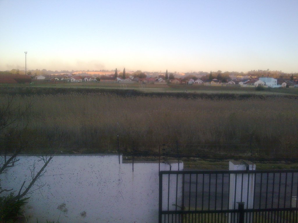
Photos of Bothaville


")


Bothaville Weather

Forecast: Clear sky
Temperature: 18.0°
Humidity: 40%
Current time: 09:11 PM
Sunrise: 06:09 AM
Sunset: 06:38 PM
Roodepoort, South Africa
Latitude: -26.1625 // Longitude: 27.8725
Photos of Roodepoort

![Roodepoort - estación del ferrocarril [oct 08]](/photos/14877329.jpg "Roodepoort - estación del ferrocarril [oct 08]")


![Roodepoort - Ayuntamiento [oct 08]](/photos/14877224.jpg "Roodepoort - Ayuntamiento [oct 08]")
Roodepoort Weather
Forecast: Clear sky
Temperature: 18.0°
Humidity: 40%
Current time: 09:11 PM
Sunrise: 06:05 AM
Sunset: 06:32 PM


