
Distance between  Bothaville and
  Wepener
164.04 mi Straight Distance
221.28 mi Driving Distance
4 hours 32 mins Estimated Driving Time
The straight distance between Bothaville (Free State) and Wepener (Free State) is 164.04 mi, but the driving distance is 221.28 mi.
It takes 4 hours 32 mins to go from Bothaville to Wepener.
Driving directions from Bothaville to Wepener
Distance in kilometers
Straight distance: 263.94 km. Route distance: 356.03 km
Bothaville, South Africa
Latitude: -27.3882 // Longitude: 26.6252
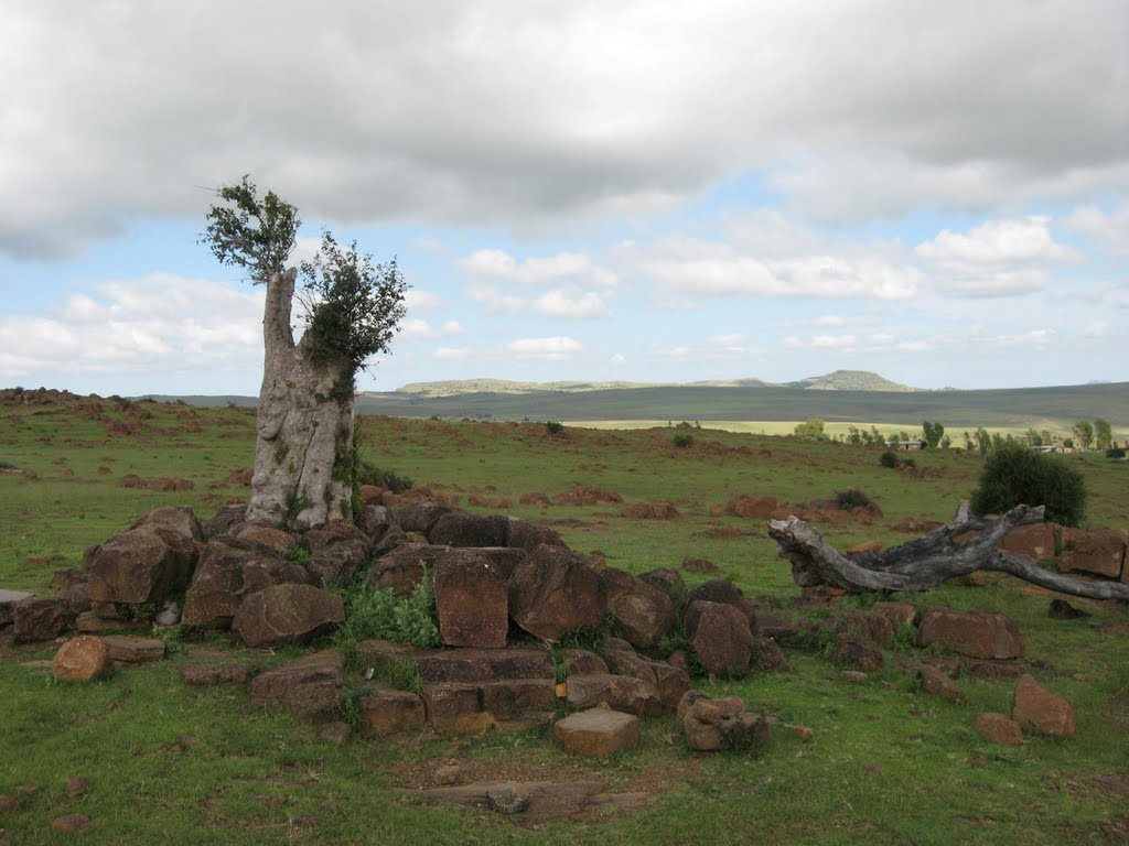
Photos of Bothaville


")


Bothaville Weather

Forecast: Scattered clouds
Temperature: 11.3°
Humidity: 60%
Current time: 08:23 AM
Sunrise: 06:11 AM
Sunset: 06:34 PM
Wepener, South Africa
Latitude: -29.734 // Longitude: 27.0419
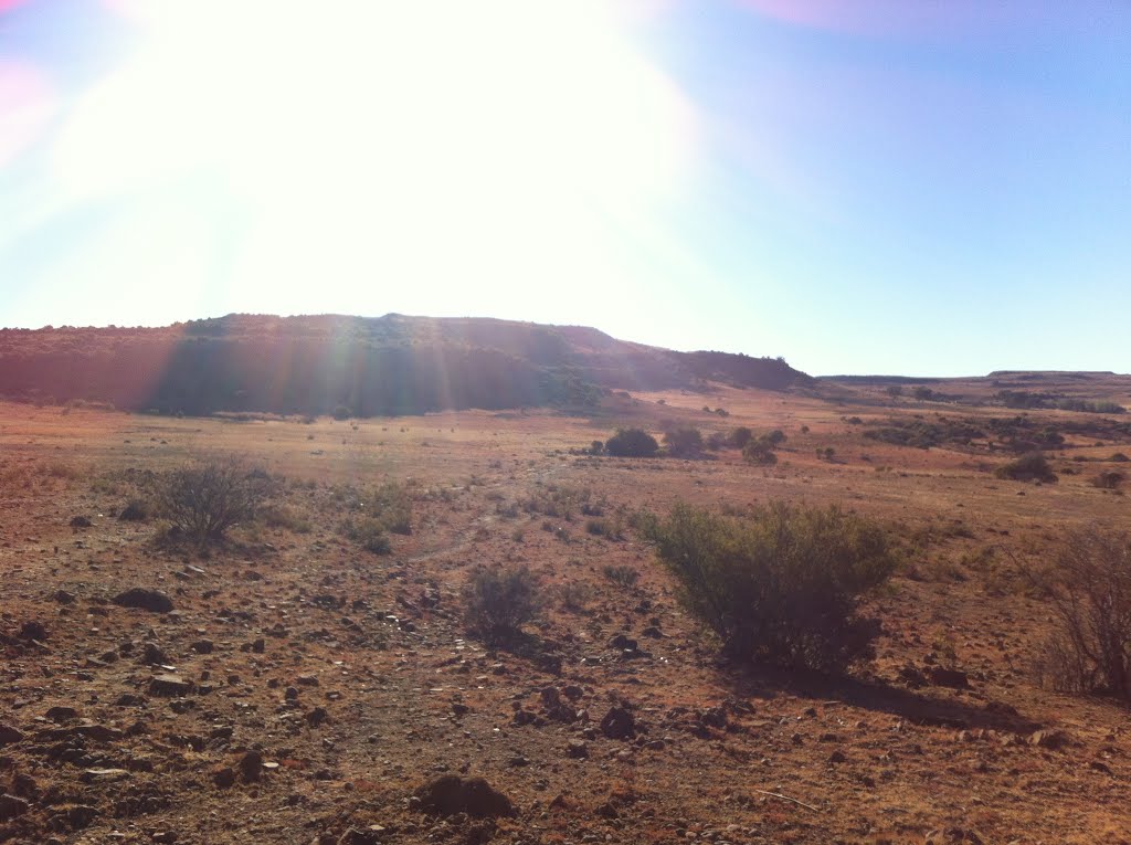
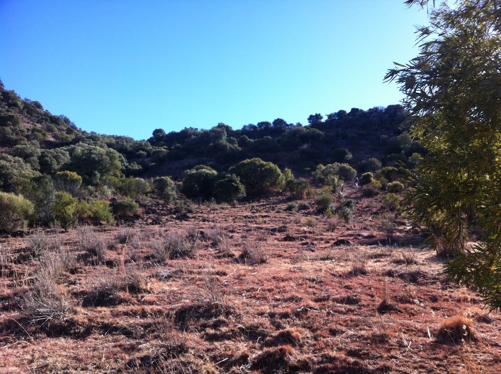
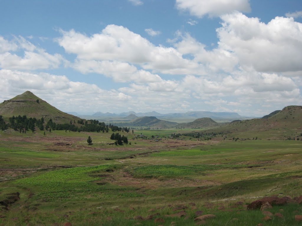
Photos of Wepener


Wepener Weather
Forecast: Scattered clouds
Temperature: 17.1°
Humidity: 39%
Sun info not available


