
Distance between  Botshabelo and
  Wepener
39.28 mi Straight Distance
55.41 mi Driving Distance
1 hour 39 mins Estimated Driving Time
The straight distance between Botshabelo (Free State) and Wepener (Free State) is 39.28 mi, but the driving distance is 55.41 mi.
It takes to go from Botshabelo to Wepener.
Driving directions from Botshabelo to Wepener
Distance in kilometers
Straight distance: 63.20 km. Route distance: 89.16 km
Botshabelo, South Africa
Latitude: -29.2331 // Longitude: 26.7331
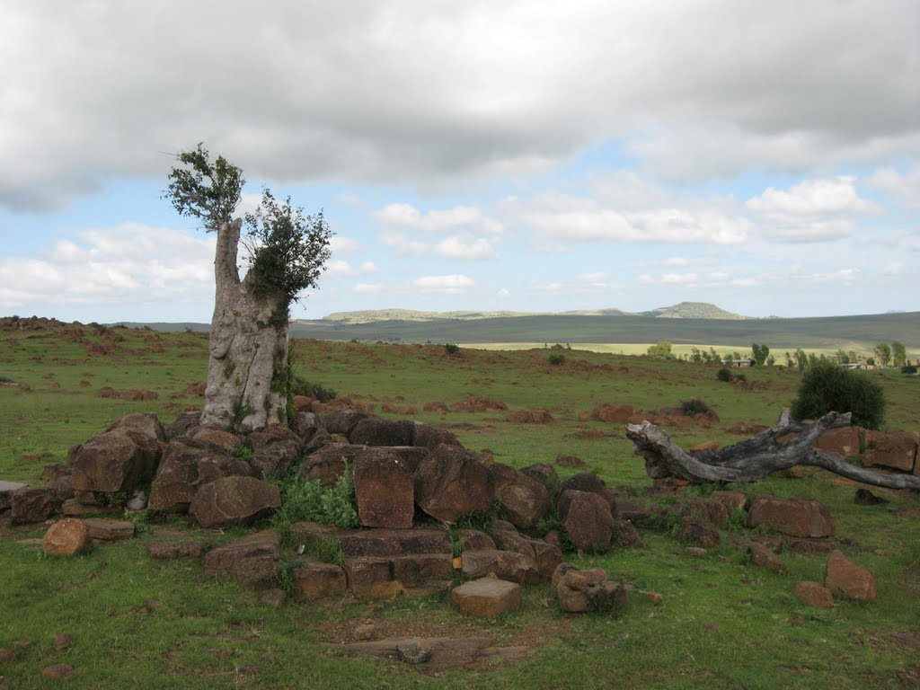
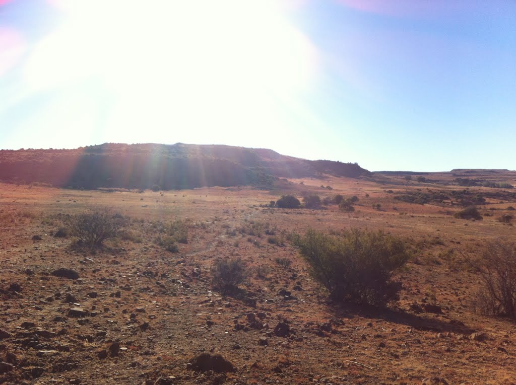
Photos of Botshabelo


Botshabelo Weather

Forecast: Broken clouds
Temperature: 17.2°
Humidity: 46%
Current time: 12:34 PM
Sunrise: 05:56 AM
Sunset: 06:57 PM
Wepener, South Africa
Latitude: -29.734 // Longitude: 27.0419
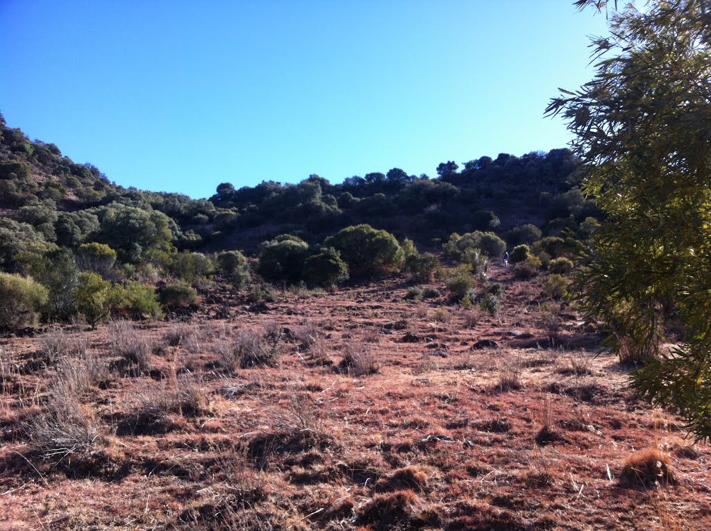
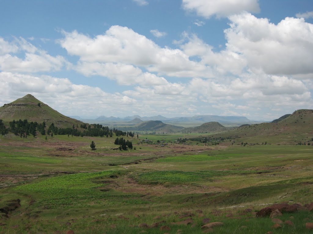
Photos of Wepener


Wepener Weather

Forecast: Clear sky
Temperature: 16.1°
Humidity: 55%
Current time: 02:00 AM
Sunrise: 05:54 AM
Sunset: 06:56 PM


