
Distance between  Brakpan and
  Boshof
249.17 mi Straight Distance
299.87 mi Driving Distance
6 hours 24 mins Estimated Driving Time
The straight distance between Brakpan (Gauteng) and Boshof (Free State) is 249.17 mi, but the driving distance is 299.87 mi.
It takes 4 hours 48 mins to go from Brakpan to Boshof.
Driving directions from Brakpan to Boshof
Distance in kilometers
Straight distance: 400.91 km. Route distance: 482.49 km
Brakpan, South Africa
Latitude: -26.2377 // Longitude: 28.3652
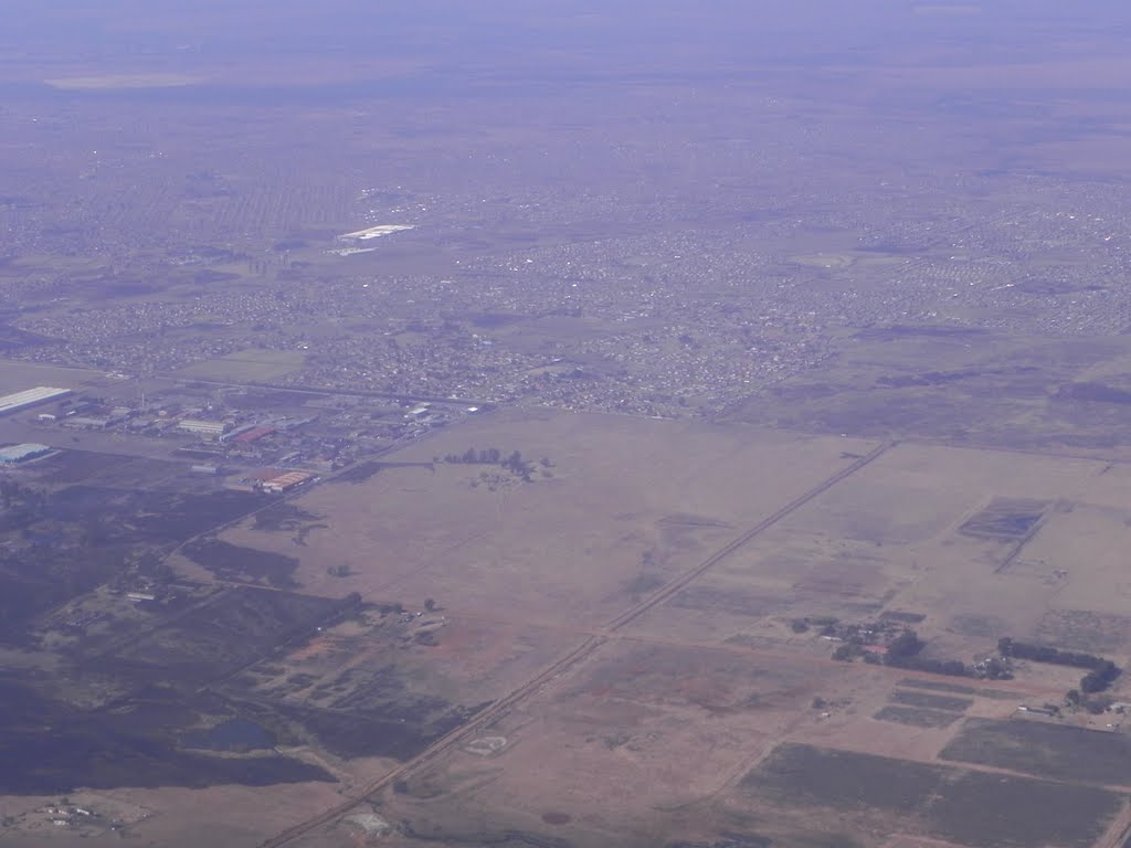
Photos of Brakpan


Brakpan Weather

Forecast: Clear sky
Temperature: 18.0°
Humidity: 40%
Current time: 05:09 PM
Sunrise: 06:00 AM
Sunset: 06:35 PM
Boshof, South Africa
Latitude: -28.5442 // Longitude: 25.2425
Photos of Boshof


Boshof Weather
Forecast: Clear sky
Temperature: 18.0°
Humidity: 40%
Current time: 05:09 PM
Sunrise: 06:11 AM
Sunset: 06:49 PM


