
Distance between  Breyten and
  De Doorns
791.82 mi Straight Distance
928.64 mi Driving Distance
16 hours 18 mins Estimated Driving Time
The straight distance between Breyten (Mpumalanga) and De Doorns (Western Cape) is 791.82 mi, but the driving distance is 928.64 mi.
It takes 16 hours 18 mins to go from Breyten to De Doorns.
Driving directions from Breyten to De Doorns
Distance in kilometers
Straight distance: 1,274.04 km. Route distance: 1,494.18 km
Breyten, South Africa
Latitude: -26.3 // Longitude: 29.9833
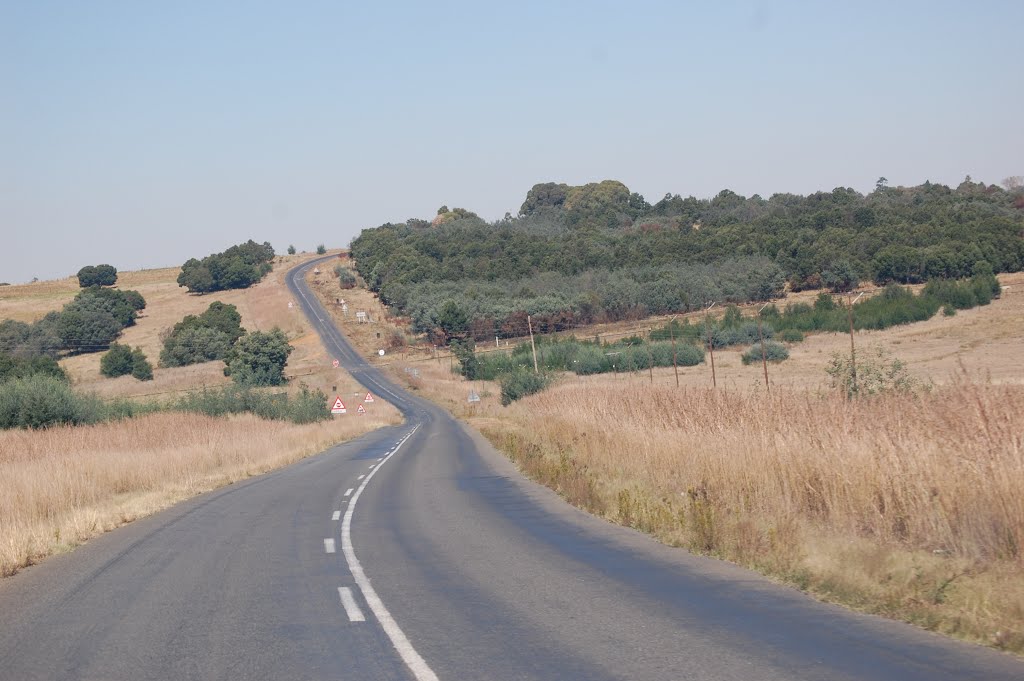
Photos of Breyten


Breyten Weather

Forecast: Clear sky
Temperature: 21.4°
Humidity: 26%
Current time: 10:25 AM
Sunrise: 05:57 AM
Sunset: 06:22 PM
De Doorns, South Africa
Latitude: -33.4833 // Longitude: 19.6667
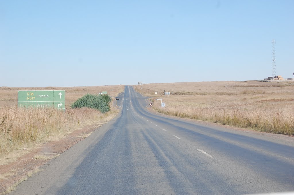
Photos of De Doorns


De Doorns Weather
Forecast: Clear sky
Temperature: 32.7°
Humidity: 24%
Sun info not available


