
Distance between  Breyten and
  Margate
315.38 mi Straight Distance
395.78 mi Driving Distance
7 hours 30 mins Estimated Driving Time
The straight distance between Breyten (Mpumalanga) and Margate (KwaZulu-Natal) is 315.38 mi, but the driving distance is 395.78 mi.
It takes to go from Breyten to Margate.
Driving directions from Breyten to Margate
Distance in kilometers
Straight distance: 507.44 km. Route distance: 636.81 km
Breyten, South Africa
Latitude: -26.3 // Longitude: 29.9833
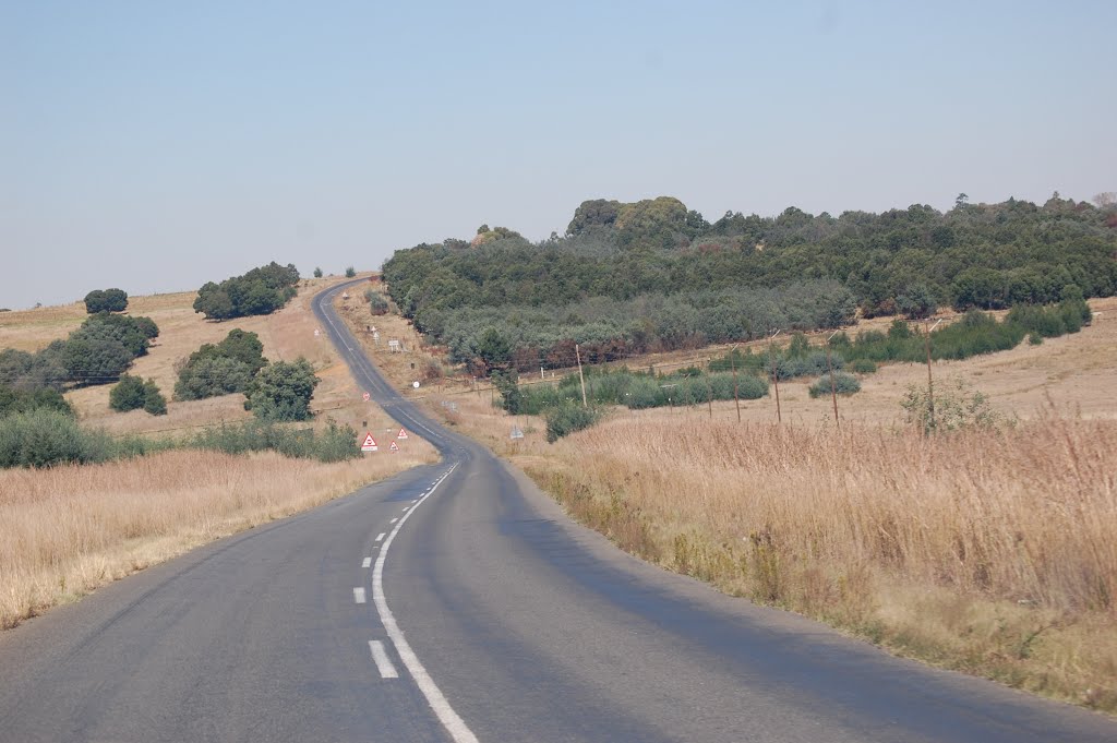
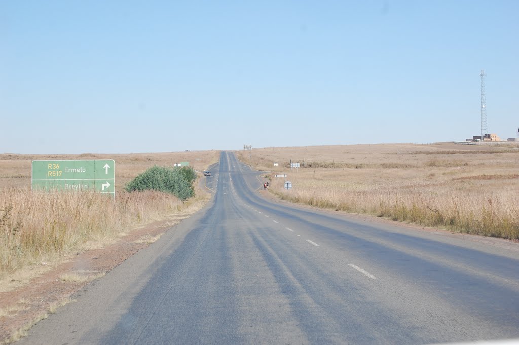
Photos of Breyten


Breyten Weather

Forecast: Few clouds
Temperature: 12.7°
Humidity: 57%
Current time: 03:27 AM
Sunrise: 05:46 AM
Sunset: 06:41 PM
Margate, South Africa
Latitude: -30.8513 // Longitude: 30.3787
Photos of Margate


Margate Weather
Forecast: Few clouds
Temperature: 22.2°
Humidity: 88%
Current time: 03:27 AM
Sunrise: 05:39 AM
Sunset: 06:44 PM


