
Distance between  Cala and
  Thaba Nchu
168.63 mi Straight Distance
284.56 mi Driving Distance
6 hours 23 mins Estimated Driving Time
The straight distance between Cala (Eastern Cape) and Thaba Nchu (Free State) is 168.63 mi, but the driving distance is 284.56 mi.
It takes 5 hours 41 mins to go from Cala to Thaba Nchu.
Driving directions from Cala to Thaba Nchu
Distance in kilometers
Straight distance: 271.32 km. Route distance: 457.86 km
Cala, South Africa
Latitude: -31.5241 // Longitude: 27.6969
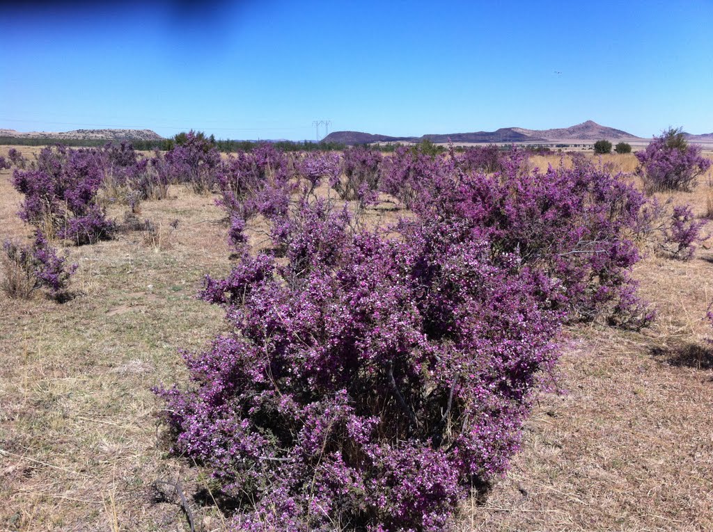
Photos of Cala


Cala Weather

Predicción: Cielo claro
Temperatura: 18.0°
Humedad: 40%
Hora actual: 11:27 PM
Amanece: 05:43 AM
Anochece: 07:02 PM
Thaba Nchu, South Africa
Latitude: -29.2 // Longitude: 26.8333
Photos of Thaba Nchu


Thaba Nchu Weather
Predicción: Cielo claro
Temperatura: 18.0°
Humedad: 40%
Hora actual: 11:27 PM
Amanece: 05:50 AM
Anochece: 07:03 PM


