Distance between  Carolusberg and
 Carnarvon
427.90 km Straight Distance
630.80 km Driving Distance
7 hours 22 mins Estimated Driving Time
The straight distance between Carolusberg (Northern Cape) and Carnarvon (Northern Cape) is 427.90 km, but the driving distance is 630.80 km.
It takes 7 hours 22 mins to go from Carolusberg to Carnarvon.
Driving directions from Carolusberg to Carnarvon
Distance in miles
Straight distance: 265.89 mi. Driving distance: 391.96 mi.
How this distance is calculated
The straight-line distance is calculated between the coordinates of the two locations. Driving distance and time follow a route from OpenStreetMap road data. Estimates exclude live traffic, stops and ferry waiting times; road access and conditions may change. The catalogue covers selected locations and is not a complete list of towns.
Carolusberg, South Africa
Latitude: -29.6322 // Longitude: 17.9524
Photos of Carolusberg


Carolusberg Weather

Forecast: Clear sky
Temperature: 10.4°
Humidity: 60%
Current time: 05:07 PM
Sunrise: 05:47 AM
Sunset: 07:16 PM
Carnarvon, South Africa
Latitude: -30.9667 // Longitude: 22.1333
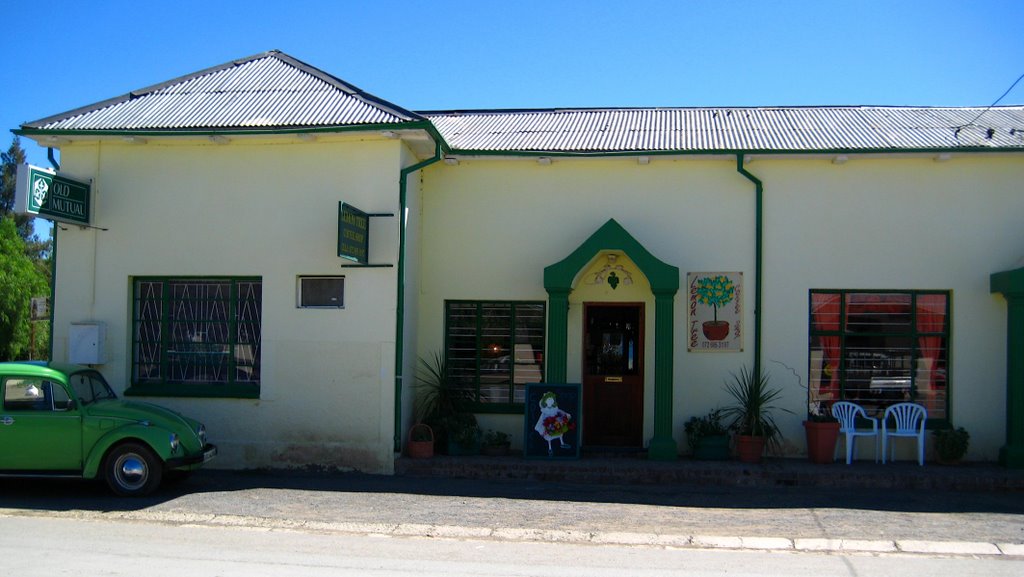
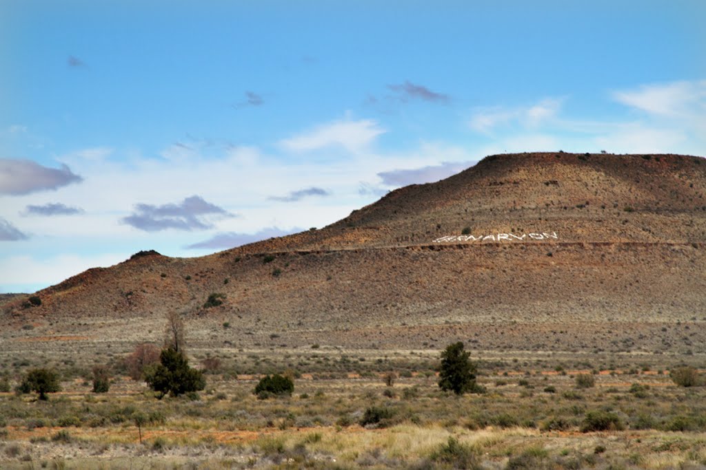
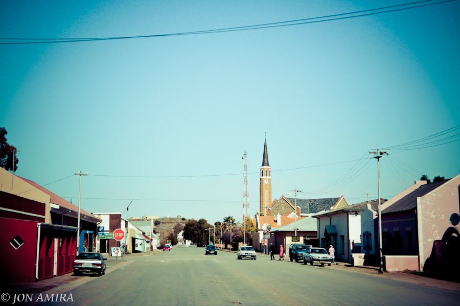
Photos of Carnarvon
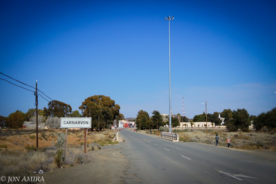
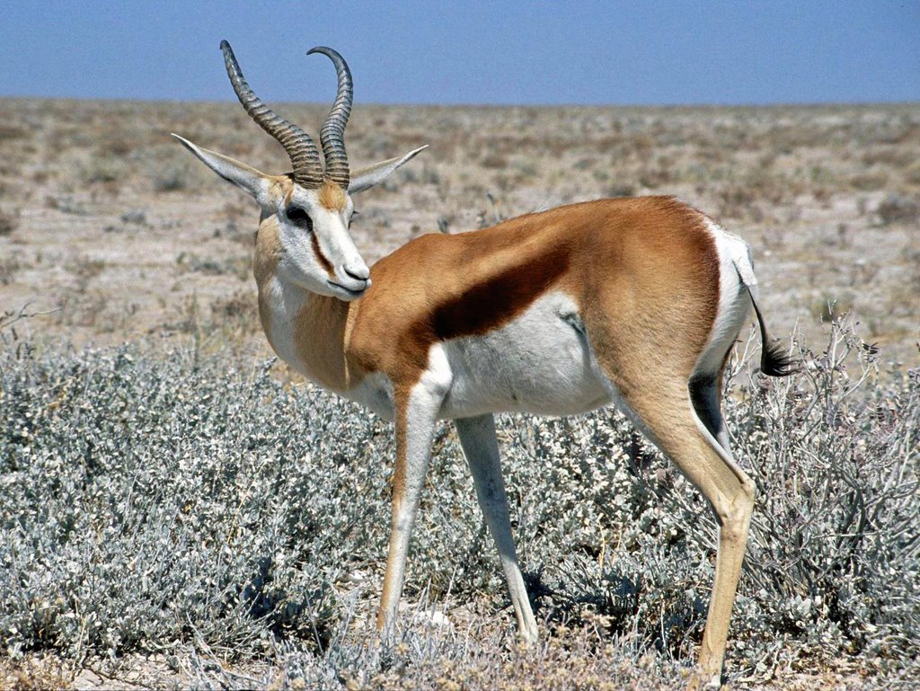
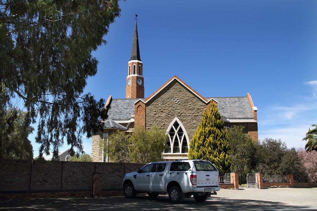
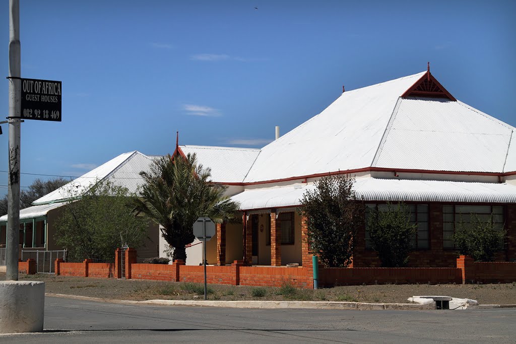

Carnarvon Weather
Forecast: Clear sky
Temperature: 7.6°
Humidity: 73%
Current time: 05:07 PM
Sunrise: 05:28 AM
Sunset: 07:01 PM