
Distance between  Cedarville and
  Brakpan
289.69 mi Straight Distance
438.14 mi Driving Distance
9 hours 1 mins Estimated Driving Time
The straight distance between Cedarville (Eastern Cape) and Brakpan (Gauteng) is 289.69 mi, but the driving distance is 438.14 mi.
It takes 9 hours 1 mins to go from Cedarville to Brakpan.
Driving directions from Cedarville to Brakpan
Distance in kilometers
Straight distance: 466.12 km. Route distance: 704.97 km
Cedarville, South Africa
Latitude: -30.3881 // Longitude: 29.0411
Photos of Cedarville


")
Cedarville Weather

Forecast: Overcast clouds
Temperature: 11.2°
Humidity: 57%
Current time: 12:12 AM
Sunrise: 06:01 AM
Sunset: 06:25 PM
Brakpan, South Africa
Latitude: -26.2377 // Longitude: 28.3652
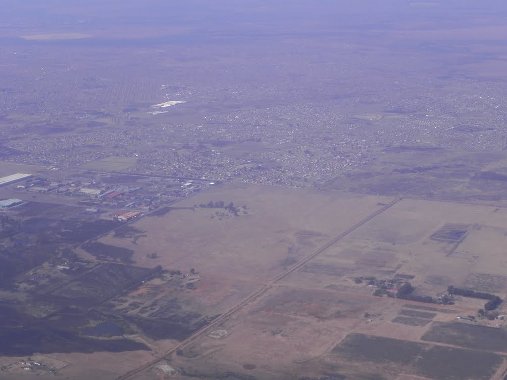
Photos of Brakpan


Brakpan Weather
Forecast: Overcast clouds
Temperature: 14.1°
Humidity: 53%
Current time: 12:12 AM
Sunrise: 06:05 AM
Sunset: 06:26 PM


