
Distance between  Cofimvaba and
  Richmond
217.70 mi Straight Distance
289.85 mi Driving Distance
6 hours 27 mins Estimated Driving Time
The straight distance between Cofimvaba (Eastern Cape) and Richmond (KwaZulu-Natal) is 217.70 mi, but the driving distance is 289.85 mi.
It takes to go from Cofimvaba to Richmond.
Driving directions from Cofimvaba to Richmond
Distance in kilometers
Straight distance: 350.28 km. Route distance: 466.37 km
Cofimvaba, South Africa
Latitude: -32.0187 // Longitude: 27.5848
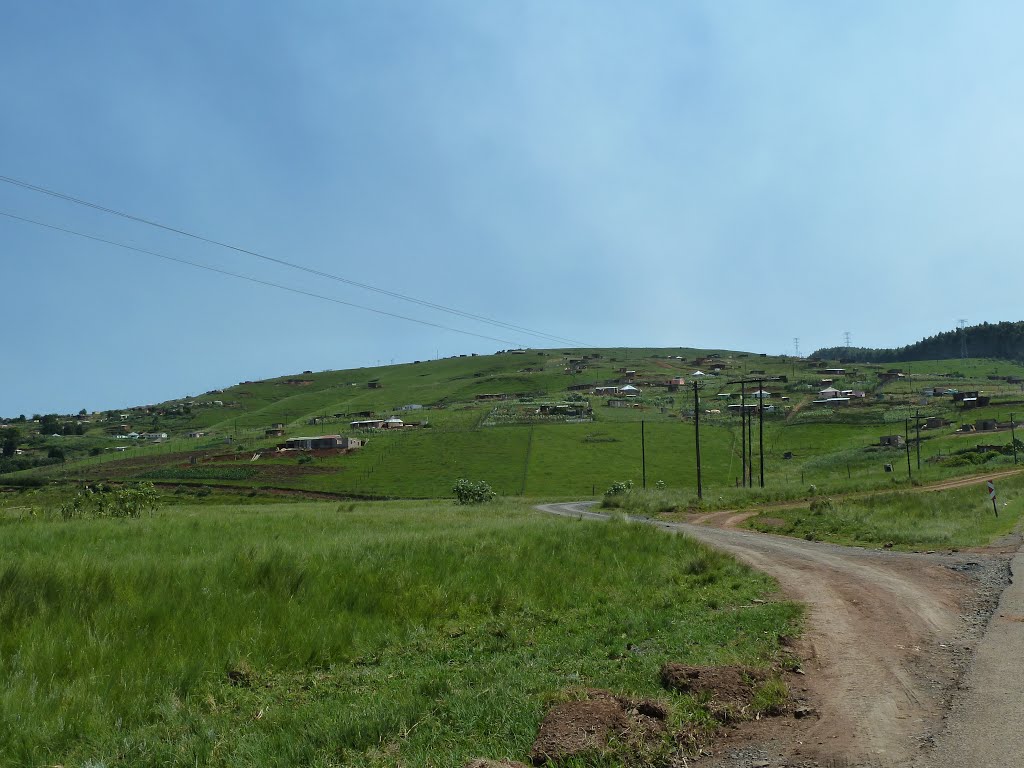
Photos of Cofimvaba


Cofimvaba Weather

Forecast: Broken clouds
Temperature: 14.8°
Humidity: 92%
Current time: 04:42 AM
Sunrise: 05:57 AM
Sunset: 06:47 PM
Richmond, South Africa
Latitude: -29.8748 // Longitude: 30.2774
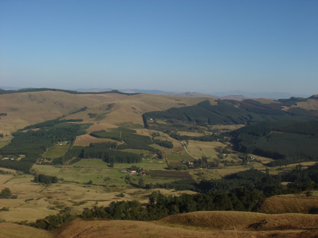
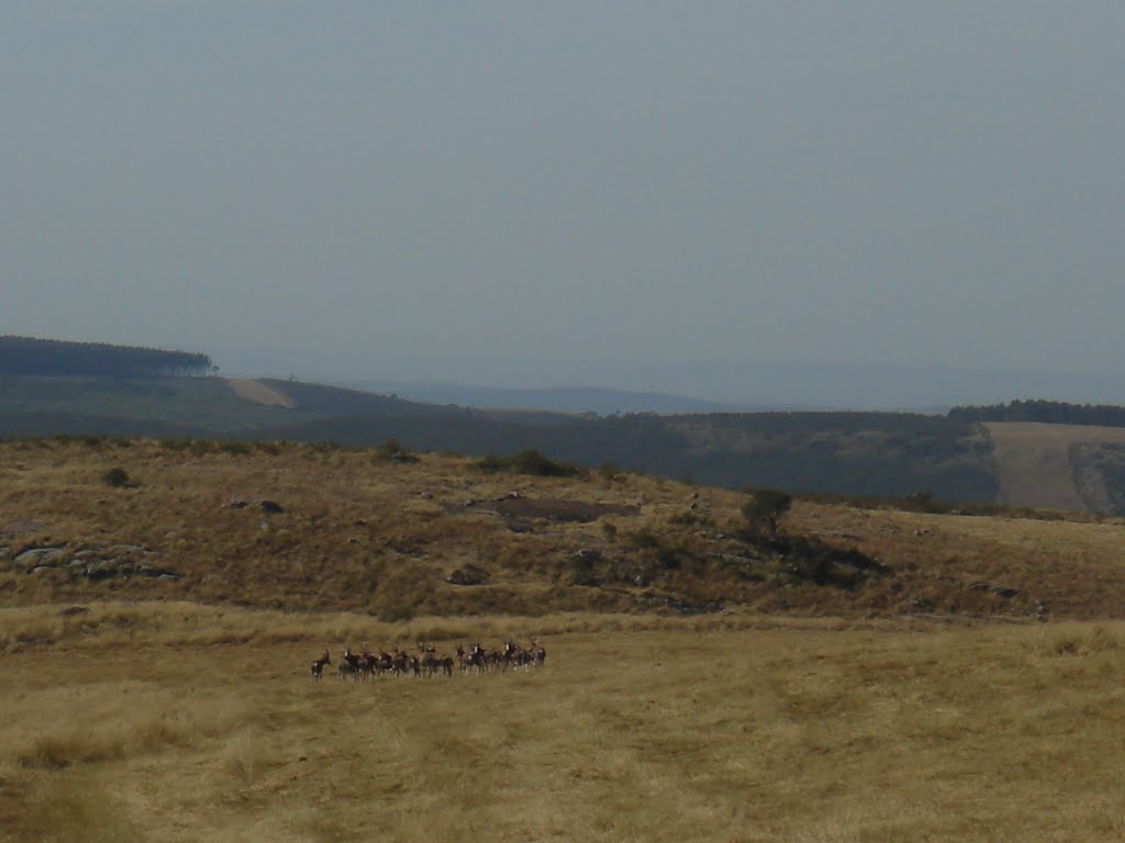
Photos of Richmond


Richmond Weather

Forecast: Clear sky
Temperature: 14.8°
Humidity: 97%
Current time: 04:42 AM
Sunrise: 05:47 AM
Sunset: 06:34 PM


