
Distance between  De Rust and
  Douglas
314.61 mi Straight Distance
368.93 mi Driving Distance
7 hours 52 mins Estimated Driving Time
The straight distance between De Rust (Western Cape) and Douglas (Northern Cape) is 314.61 mi, but the driving distance is 368.93 mi.
It takes to go from De Rust to Douglas.
Driving directions from De Rust to Douglas
Distance in kilometers
Straight distance: 506.21 km. Route distance: 593.61 km
De Rust, South Africa
Latitude: -33.4885 // Longitude: 22.5351
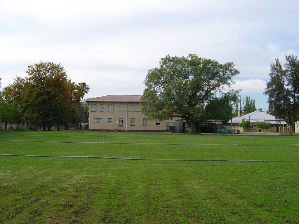
Photos of De Rust


De Rust Weather

Forecast: Light rain
Temperature: 12.7°
Humidity: 75%
Current time: 07:33 AM
Sunrise: 06:17 AM
Sunset: 07:06 PM
Douglas, South Africa
Latitude: -29.0589 // Longitude: 23.7699
Photos of Douglas


Douglas Weather

Forecast: Clear sky
Temperature: 22.9°
Humidity: 24%
Current time: 07:33 AM
Sunrise: 06:16 AM
Sunset: 06:58 PM


