
Distance between  Dealesville and
  Bathurst
338.72 mi Straight Distance
438.34 mi Driving Distance
9 hours 16 mins Estimated Driving Time
The straight distance between Dealesville (Free State) and Bathurst (Eastern Cape) is 338.72 mi, but the driving distance is 438.34 mi.
It takes 9 hours 16 mins to go from Dealesville to Bathurst.
Driving directions from Dealesville to Bathurst
Distance in kilometers
Straight distance: 545.00 km. Route distance: 705.28 km
Dealesville, South Africa
Latitude: -28.6667 // Longitude: 25.7667
Photos of Dealesville


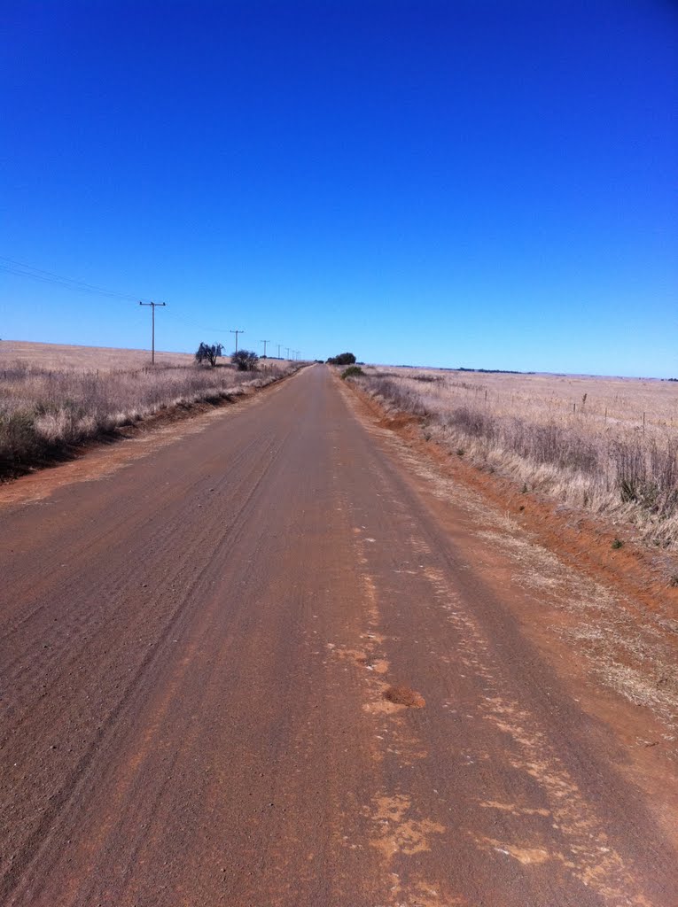
, looking south east")

Dealesville Weather

Forecast: Clear sky
Temperature: 18.0°
Humidity: 40%
Sun info not available
Bathurst, South Africa
Latitude: -33.4833 // Longitude: 26.8333
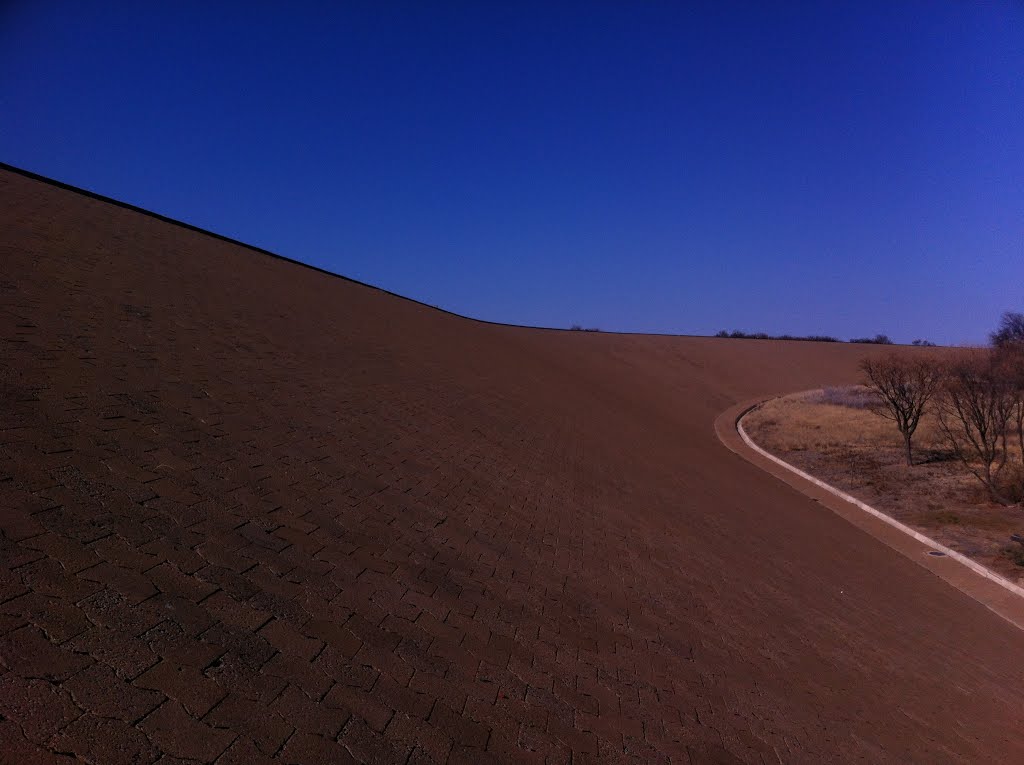
Photos of Bathurst


Bathurst Weather
Forecast: Clear sky
Temperature: 18.0°
Humidity: 40%
Current time: 07:40 PM
Sunrise: 06:04 AM
Sunset: 06:42 PM


