
Distance between  Dealesville and
  Springbok
480.52 mi Straight Distance
549.91 mi Driving Distance
10 hours 32 mins Estimated Driving Time
The straight distance between Dealesville (Free State) and Springbok (Northern Cape) is 480.52 mi, but the driving distance is 549.91 mi.
It takes 10 hours 32 mins to go from Dealesville to Springbok.
Driving directions from Dealesville to Springbok
Distance in kilometers
Straight distance: 773.16 km. Route distance: 884.81 km
Dealesville, South Africa
Latitude: -28.6667 // Longitude: 25.7667
Photos of Dealesville


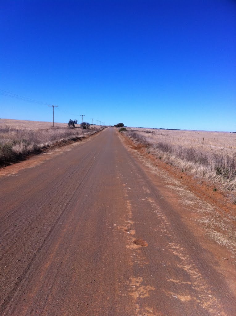
, looking south east")

Dealesville Weather

Forecast: Broken clouds
Temperature: 19.3°
Humidity: 66%
Sun info not available
Springbok, South Africa
Latitude: -29.6667 // Longitude: 17.8833
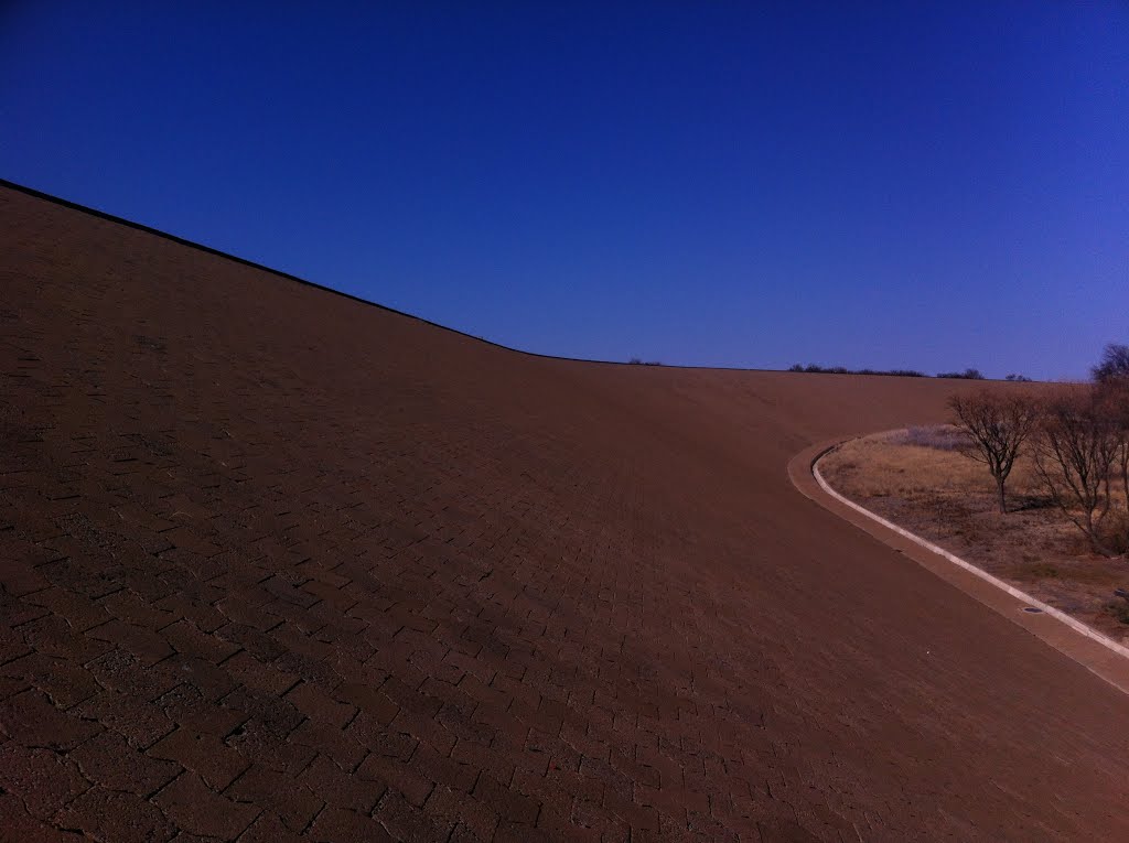
Photos of Springbok
")


Springbok Weather
Forecast: Overcast clouds
Temperature: 14.5°
Humidity: 73%
Current time: 04:25 PM
Sunrise: 06:42 AM
Sunset: 07:16 PM


