
Distance between  Despatch and
  Dealesville
355.12 mi Straight Distance
458.59 mi Driving Distance
8 hours 51 mins Estimated Driving Time
The straight distance between Despatch (Eastern Cape) and Dealesville (Free State) is 355.12 mi, but the driving distance is 458.59 mi.
It takes 7 hours 54 mins to go from Despatch to Dealesville.
Driving directions from Despatch to Dealesville
Distance in kilometers
Straight distance: 571.39 km. Route distance: 737.87 km
Despatch, South Africa
Latitude: -33.8 // Longitude: 25.4667
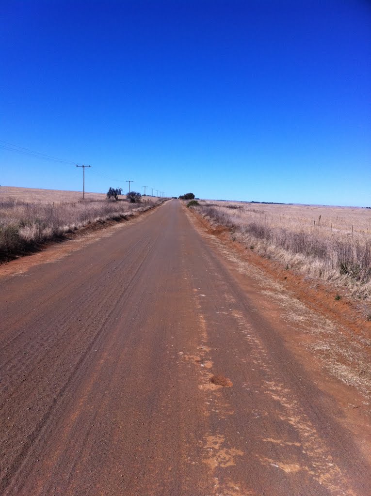
Photos of Despatch


Despatch Weather

Forecast: Overcast clouds
Temperature: 17.5°
Humidity: 69%
Current time: 07:53 AM
Sunrise: 06:05 AM
Sunset: 06:54 PM
Dealesville, South Africa
Latitude: -28.6667 // Longitude: 25.7667
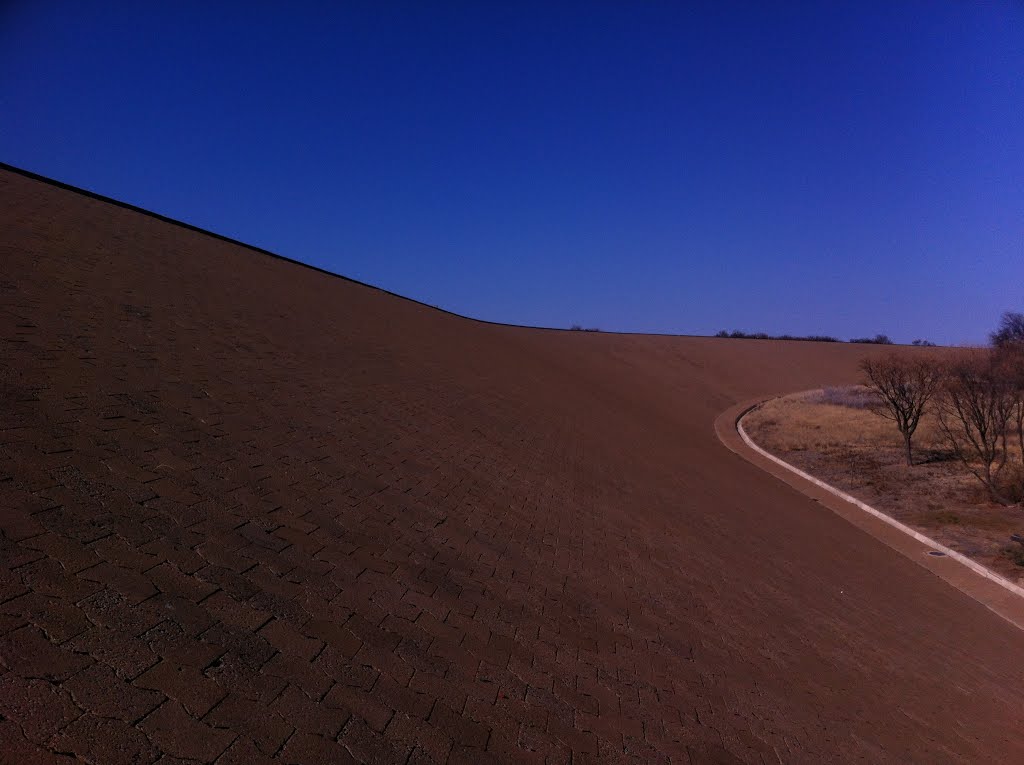
Photos of Dealesville


, looking south east")

Dealesville Weather
Forecast: Broken clouds
Temperature: 24.0°
Humidity: 16%
Current time: 02:00 AM
Sunrise: 06:08 AM
Sunset: 06:49 PM


