
Distance between  Despatch and
  Kenton-on-Sea
69.63 mi Straight Distance
85.42 mi Driving Distance
1 hour 40 mins Estimated Driving Time
The straight distance between Despatch (Eastern Cape) and Kenton-on-Sea (Eastern Cape) is 69.63 mi, but the driving distance is 85.42 mi.
It takes to go from Despatch to Kenton-on-Sea.
Driving directions from Despatch to Kenton-on-Sea
Distance in kilometers
Straight distance: 112.04 km. Route distance: 137.44 km
Despatch, South Africa
Latitude: -33.8 // Longitude: 25.4667
Photos of Despatch


Despatch Weather

Forecast: Overcast clouds
Temperature: 20.8°
Humidity: 75%
Current time: 08:31 AM
Sunrise: 05:55 AM
Sunset: 07:08 PM
Kenton-on-Sea, South Africa
Latitude: -33.6806 // Longitude: 26.6701
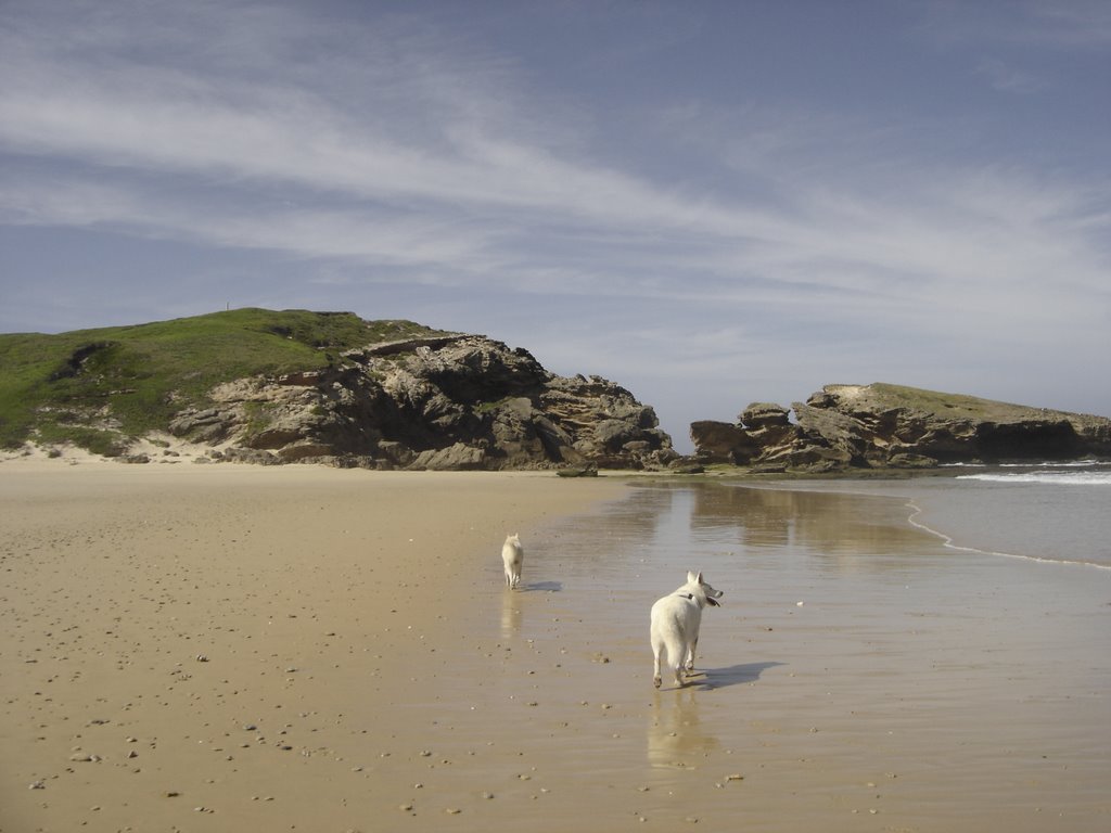
Photos of Kenton-on-Sea


Kenton-on-Sea Weather
Forecast: Overcast clouds
Temperature: 25.1°
Humidity: 59%
Current time: 08:31 AM
Sunrise: 05:50 AM
Sunset: 07:03 PM


